Aberdeen in Monroe County, Mississippi — The American South (East South Central)
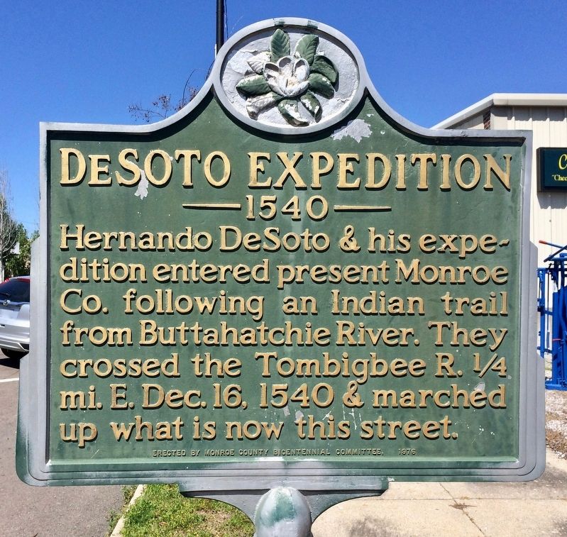
DeSoto Expedition
— 1540 —
Erected 1976 by Monroe County Bicentennial Committee.
Topics. This historical marker is listed in these topic lists: Colonial Era • Exploration • Roads & Vehicles • Waterways & Vessels. A significant historical date for this entry is December 16, 1540.
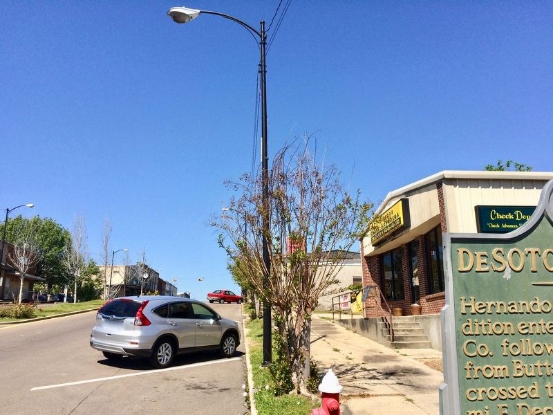
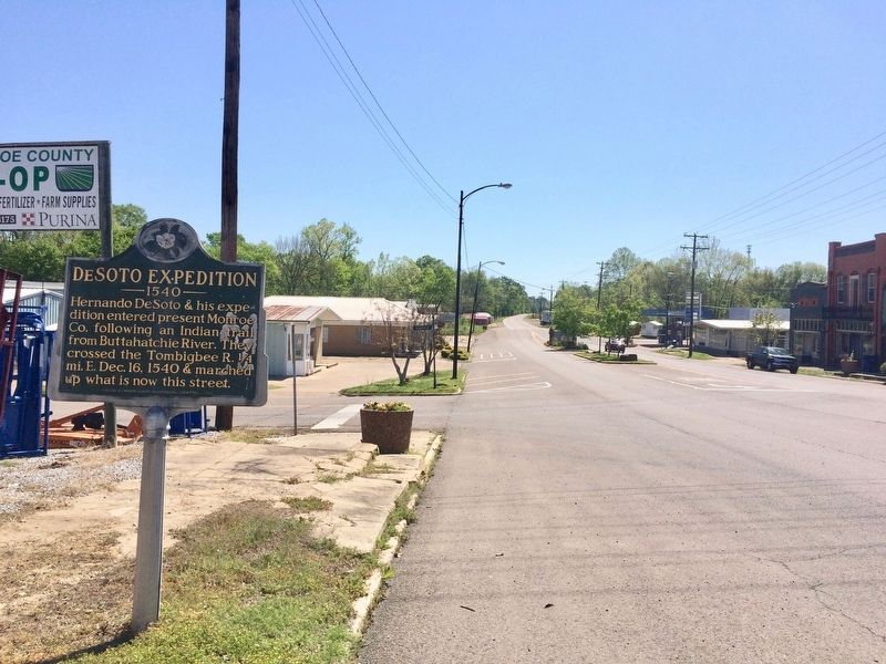
Location. 33° 49.489′ N, 88° 32.46′ W. Marker is in Aberdeen, Mississippi, in Monroe County. Marker is at the intersection of East Commerce Street (Mississippi Route 145) and Locust Street, on the right when traveling west on East Commerce Street. Touch for map. Marker is at or near this postal address: 214 East Commerce Street, Aberdeen MS 39730, United States of America. Touch for directions.
Other nearby markers. At least 8 other markers are within 7 miles of this marker, measured as the crow flies. Aberdeen Mississippi Blues (approx. 0.2 miles away); St. John's Episcopal Church (approx. 0.4 miles away); Dr. W. A. Evans (approx. half a mile away); Aberdeen (approx. 0.6 miles away); Judge Eugene O. Sykes (approx. 0.6 miles away); Reuben Davis (approx. 0.9 miles away); Brigadier General John Gregg (approx. one mile away); Athens (approx. 6½ miles away). Touch for a list and map of all markers in Aberdeen.
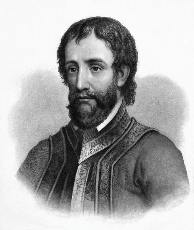
Also see . . . Wikipedia article on Hernando DeSoto. (Submitted on April 10, 2017, by Mark Hilton of Montgomery, Alabama.)
Credits. This page was last revised on November 23, 2019. It was originally submitted on April 10, 2017, by Mark Hilton of Montgomery, Alabama. This page has been viewed 370 times since then and 33 times this year. Photos: 1, 2, 3, 4. submitted on April 10, 2017, by Mark Hilton of Montgomery, Alabama.


