Orange Park in Clay County, Florida — The American South (South Atlantic)
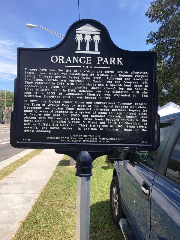
Orange Park
In 1877, the Florida Winter Home and Improvement Company created the Town of Orange Park on most of the original Pengree land claim. Developer Washington Gano Benedict attracted northern buyers by planting acres of oranges in a system of home and agricultural plots. A 5-acre plot sold for $600 and included cleared, fenced land planted with 250 orange trees. River boats brought tourists to the Hotel Marion, including Ulysses S. Grant and Philip H. Sheridan, as well as Buffalo Bill Cody and Chief Sitting Bull in 1880. Small farms, sawmills, and naval stores, in addition to tourism, made up the town’s economy.
Erected 2013 by Clay County Historical Preservation Board and the Florida Department of State. (Marker Number F-798.)
Topics. This historical marker is listed in these topic lists: Colonial Era • Industry & Commerce • Settlements & Settlers.
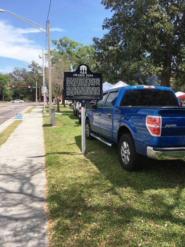
Location. 30° 9.944′ N, 81° 42.11′ W. Marker is in Orange Park, Florida, in Clay County. Marker is at the intersection of Kingsley Avenue and Park Avenue (Route 17), on the right when traveling west on Kingsley Avenue. Located in Town Hall Park. Touch for map. Marker is at or near this postal address: 2042 Park Ave, Orange Park FL 32073, United States of America. Touch for directions.
Other nearby markers. At least 8 other markers are within 3 miles of this marker, measured as the crow flies. Orange Park Normal and Industrial School Site (about 300 feet away, measured in a direct line); Torpedo Warfare on the St. Johns River (approx. 0.4 miles away); In Memory of All American Veterans (approx. 0.6 miles away); Mandarin Store and Post Office (approx. 2.6 miles away); James Hall (1760–1837) (approx. 2.6 miles away); Mandarin Veterans Monument (approx. 2.6 miles away); Harriet Beecher Stowe Home (approx. 2.6 miles away); Church of Our Savior (approx. 2.9 miles away). Touch for a list and map of all markers in Orange Park.
Credits. This page was last revised on April 13, 2017. It was originally submitted on April 2, 2017, by Brandon D Cross of Flagler Beach, Florida. This page has been viewed 603 times since then and 42 times this year. Last updated on April 10, 2017, by Byron Hooks of Sandy Springs, Georgia. Photos: 1, 2. submitted on April 2, 2017, by Brandon D Cross of Flagler Beach, Florida. • Bernard Fisher was the editor who published this page.

