Starkville in Oktibbeha County, Mississippi — The American South (East South Central)
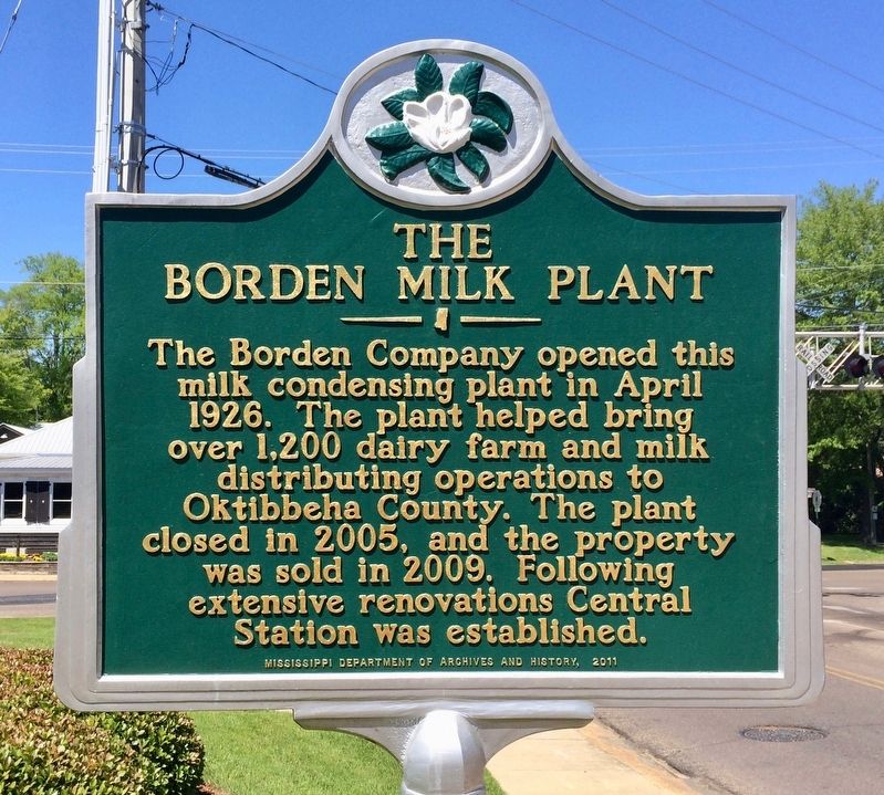
The Borden Milk Plant
Erected 2011 by the Mississippi Department of Archives and History.
Topics and series. This historical marker is listed in this topic list: Industry & Commerce. In addition, it is included in the Mississippi State Historical Marker Program series list. A significant historical month for this entry is April 1926.
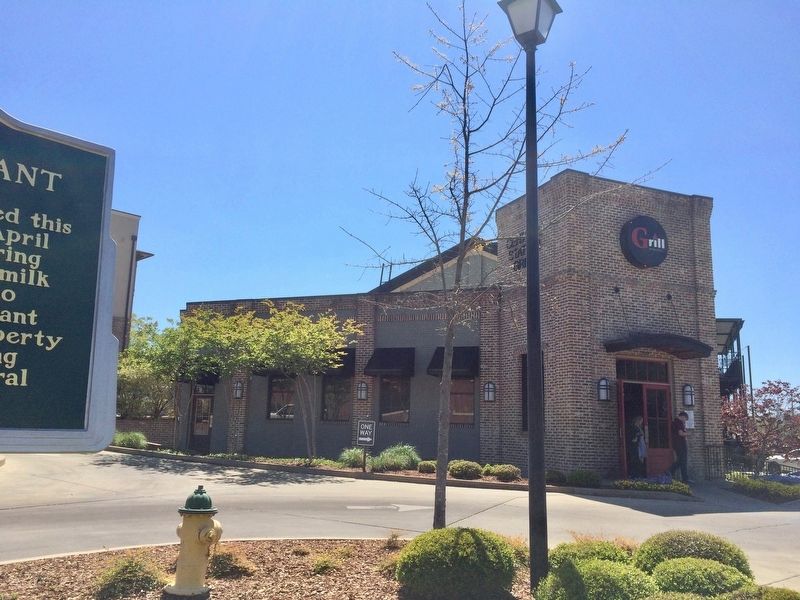
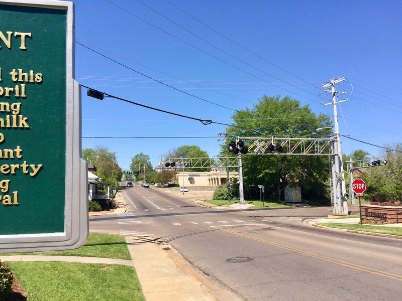
Location. 33° 27.75′ N, 88° 48.618′ W. Marker is in Starkville, Mississippi, in Oktibbeha County. Marker is at the intersection of South Montgomery Street and East Lampkin Street on South Montgomery Street. Touch for map. Marker is at or near this postal address: 200 S Montgomery St, Starkville MS 39759, United States of America. Touch for directions.
Other nearby markers. At least 8 other markers are within walking distance of this marker. First Presbyterian Church (approx. 0.2 miles away); Starkville (approx. ¼ mile away); Oktibbeha County Blues (approx. ¼ mile away); Overstreet School District (approx. 0.3 miles away); First Baptist Church (approx. 0.3 miles away); Nash Street Historic District (approx. 0.3 miles away); Johnny Cash and “Starkville City Jail” (approx. 0.4 miles away); Significant Events in African-American History in Oktibbeha County (approx. 0.4 miles away). Touch for a list and map of all markers in Starkville.
Credits. This page was last revised on January 30, 2022. It was originally submitted on April 11, 2017, by Mark Hilton of Montgomery, Alabama. This page has been viewed 658 times since then and 40 times this year. Photos: 1, 2, 3. submitted on April 11, 2017, by Mark Hilton of Montgomery, Alabama.


