Near Sausalito in Marin County, California — The American West (Pacific Coastal)
Mortars to Missiles
Military power at the Golden Gate

Photographed By Barry Swackhamer, March 31, 2017
1. Mortars to Missiles Marker
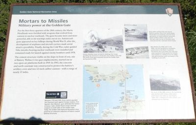
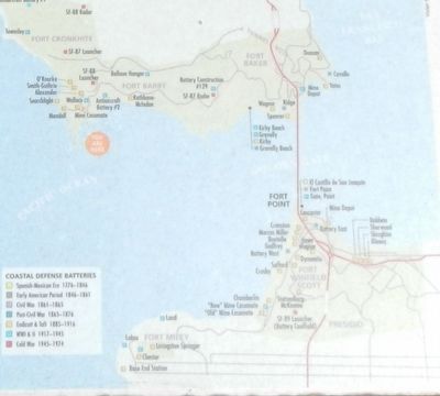
Captions: (upper center) Enemy attackers never arrived to challenge the troops guarding San Francisco's critical port, but artillery crews did fire some guns mounted around the Golden Gate during practice drills.; (map of coastal defense batteries (click on image to enlarge) , bottom center) Between 1776 and 1974, three nations guarded San Francisco's port against foreign invasion. First Spanish, then Mexican, guns defended the harbor entrance. Later, United States troops manned weapons on both sides of the Golden Gate. Today, the Golden Gate National Recreation Area preserves an extensive collection of historic coastal defense structures. (upper right) Built within artificial hills and natural bluffs to protect them from aerial attack, World War II-era batteries were the final generation of coastal defense using land based artillery. Within a few years of the war's end, the last of the guns were removed and the casemates stood empty.; Nike Missile Site SF88, built in the 1950s, was the last defense installation constructed in the Marine Headlands. The launch site is just down the road, the radar equipment that guided the missiles was located on a hilltop across the valley, and administrative work was based in the buildings to your left., (bottom right) For much of the 20th century, the headlands were dotted with military observation posts (base end stations), searchlights, radar sites, underground crew shelters and communications facilities.
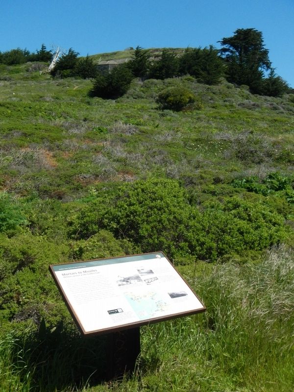
The cement structures visible on the slope in front of you, one of Battery Wallace's two gun emplacements, started out as two open-air platforms built in 1919. In 1943, the concrete and earth casemate was constructed to protect the battery's artillery crew and two 12-inch cannon - with a range of nearly 17 miles.
Erected by National Park Service, Golden Gate National Recreation Ares.
Topics. This historical marker is listed in these topic lists: Forts and Castles • War, Cold • War, World II.
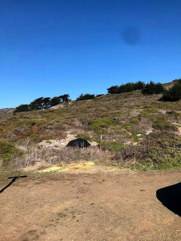
Location. Marker is missing. It was located near 37° 49.398′ N, 122° 31.728′ W. Marker was near Sausalito, California , in Marin County. Marker was at the intersection of Conzelman Road and Field Road, on the left on Conzelman Road. Touch for map. Marker was in this post office area: Sausalito CA 94965, United States of America. Touch for directions.
Other nearby markers. At least 8 other markers are within 2 miles of this location, measured as the crow flies. Point Bonita Lighthouse (about 700 feet away, measured in a direct line); Battery Mendell (approx. 0.2 miles away); Battery Alexander (approx. 0.2 miles away); Nike Missile Site SF88 (approx. 0.2 miles away); a different marker also named Battery Alexander (approx. 0.2 miles away); Cold War Legacy: Missiles to Marine Mammals (approx. 0.8 miles away); Marin Headlands (approx. 0.9 miles away); Battery Construction No. 129 (approx. 1.6 miles away). Touch for a list and map of all markers in Sausalito.
Credits. This page was last revised on December 12, 2020. It was originally submitted on April 16, 2017, by Barry Swackhamer of Brentwood, California. This page has been viewed 370 times since then and 17 times this year. Photos: 1, 2, 3. submitted on April 16, 2017, by Barry Swackhamer of Brentwood, California. 4. submitted on November 30, 2020, by Diane Phillips of Pittsburg, California.


