Near Spotsylvania Courthouse in Spotsylvania County, Virginia — The American South (Mid-Atlantic)
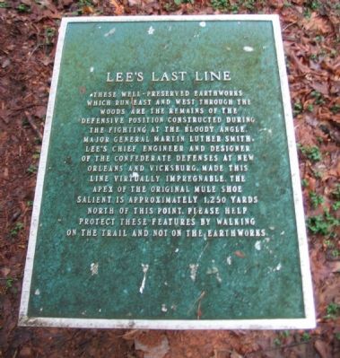
Lee's Last Line
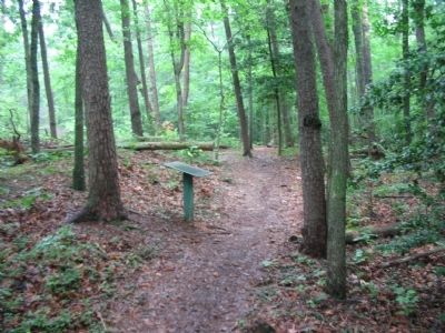
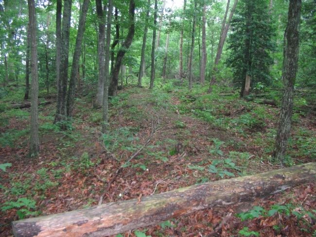
These well-preserved earthworks which run east and west through the woods are the remains of the defensive position constructed during the fighting at the Bloody Angle. Major General Martin Luther Smith, Lee's chief engineer and designer of the Confederate defenses at New Orleans and Vicksburg, made this line virtually impregnable. The apex of the original Mule Shoe salient is approximately 1,250 yards north of this point. Please help protect these features by walking on the trail and not on the earthworks.
Topics. This historical marker is listed in this topic list: War, US Civil.
Location. 38° 12.897′ N, 77° 36.296′ W. Marker is near Spotsylvania Courthouse, Virginia, in Spotsylvania County. Marker can be reached from Anderson Drive, on the right when traveling north. Located on the Spotsylvania History trail in the Spotsylvania Battlefield unit of the Fredericksburg and Spotsylvania National Military Park. Touch for map. Marker is in this post office area: Spotsylvania VA 22553, United States of America. Touch for directions.
Other nearby markers. At least 8 other markers are within walking distance of this marker. Harrison House Site (approx. 0.2 miles away); Spotsylvania Campaign (approx. 0.2 miles away); a different marker also named Spotsylvania Campaign (approx. 0.2 miles away); Civil War Earthworks (approx. 0.2 miles away); Grant's May 18th Attack (approx. 0.2 miles away); Lee to the Rear! (approx. 0.2 miles away); The Harrison House (approx. 0.2 miles away); Ramseur's Brigade (approx. 0.4 miles away). Touch for a list and map of all markers in Spotsylvania Courthouse.
Also see . . . Spotsylvania Battlefield. National Park Service website entry (Submitted on December 14, 2022, by Larry Gertner of New York, New York.)
Credits. This page was last revised on December 14, 2022. It was originally submitted on August 15, 2008, by Craig Swain of Leesburg, Virginia. This page has been viewed 1,214 times since then and 87 times this year. Photos: 1, 2, 3. submitted on August 15, 2008, by Craig Swain of Leesburg, Virginia.


