Pittsfield Township near Ann Arbor in Washtenaw County, Michigan — The American Midwest (Great Lakes)
Ice House
[lat N42 11.957 lon W083 44.436]
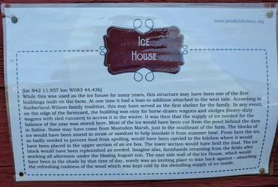
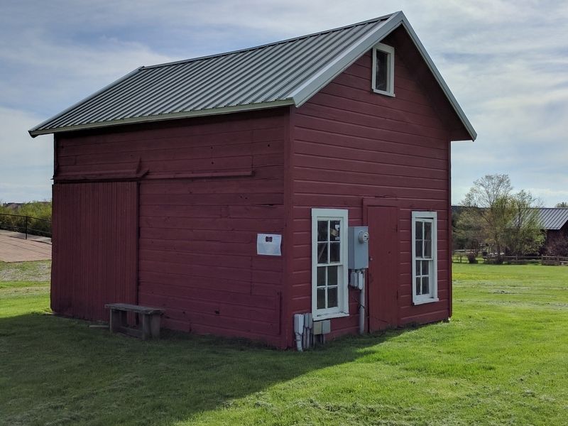
While this was used as the ice house for many years, this structure may have been one of the first buildings built on the farm. At one time it had a lean-to addition attached to the west side. According to Sutherland-Wilson family tradition, this may have served as the first shelter for the family. In any event, on the edge of the farmyard, the building was easy for horse-drawn wagons and sledges (heavy-duty wagons with sled runners) to access it in winter. It was then that the supply of ice needed for the balance of the year was stored here. Most of the ice wuld have been cut from the pond behind the dam in Saline. Some may have come from Mastodon Marsh, just to the southeast of the farm. The blocks of ice would have been stored in straw or sawdust to help insulate it from summer heat. From here the ice, so badly needed to prevent food from spoiling, would have been carried to the kitchen where it would have been placed in the upper section of an ice box. The lower section would have held the food. The ice block would have been replenished as needed. Imagine also, farmhands returning from the fields after working all afternoon under the blazing August sun. The east side wall of the Ice House, which would have been in the shade by that time of the day, surely was an inviting place to lean back against — absorbing the refreshing coolness of the wood which was kept cold by the dwindling supply of ice inside.
Erected by Pittsfield Township Historical Society.
Topics. This historical marker is listed in this topic list: Agriculture.
Location. Marker has been reported missing. It was located near 42° 11.956′ N, 83° 44.437′ W. Marker was near Ann Arbor, Michigan, in Washtenaw County. It was in Pittsfield Township. Marker could be reached from Textile Road, 0.4 miles west of South State Road, on the left when traveling west. The marker is behind the Sutherland-Wilson farmhouse. Touch for map. Marker was at or near this postal address: 797 Textile Road, Ann Arbor MI 48108, United States of America. Touch for directions.
Other nearby markers. At least 8 other markers are within 3 miles of this location, measured as the crow flies. Wood Shed (within shouting distance of this marker); LeClair Barn (within shouting distance of this marker); Upper Level of the Barn (within shouting distance of this marker); Hog House (within shouting distance of this marker); Lower Level of the Barn (within shouting distance of this marker); Sutherland - Wilson Farm (within shouting distance of this marker); An Early Township Blacksmith (approx. 2.4 miles away); Davenport House (approx. 2.7 miles away). Touch for a list and map of all markers in Ann Arbor.
Credits. This page was last revised on November 30, 2023. It was originally submitted on April 27, 2017, by Joel Seewald of Madison Heights, Michigan. This page has been viewed 465 times since then and 7 times this year. Last updated on November 13, 2023, by Craig Doda of Napoleon, Ohio. Photos: 1, 2. submitted on April 27, 2017, by Joel Seewald of Madison Heights, Michigan. • J. Makali Bruton was the editor who published this page.

