Pittsfield Township near Ann Arbor in Washtenaw County, Michigan — The American Midwest (Great Lakes)
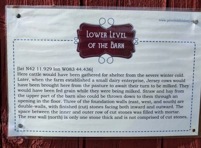
Lower Level of the Barn
[lat N42 11.929 lon W083 44.436]
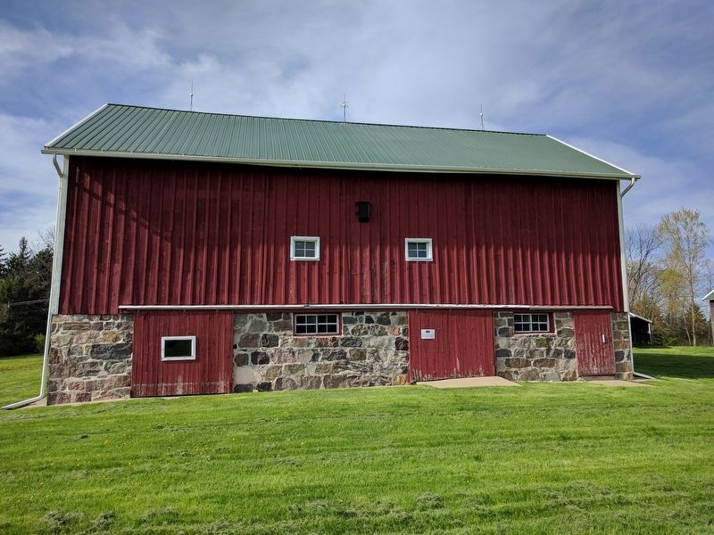
Here cattle would have been gathered for shelter from the severe winter cold. Later, when the farm established a small dairy enterprise, Jersey cows would have been brought here from the pasture to await their turn to be milked. They would have been fed grain while they were being milked. Straw and hay from the upper part fo the barn also could be thrown down to them through an opening in the floor. Three of the foundation walls (east, west, and south) are double-walls, with finished (cut) stones facing both inward and outward. The space between the inner and outer row of cut stones was filled with mortar. The rear wall (north) is only one stone thick and is not comprised of cut stones.
Erected by Pittsfield Charter Township.
Topics. This historical marker is listed in this topic list: Agriculture.
Location. 42° 11.931′ N, 83° 44.438′ W. Marker is near Ann Arbor, Michigan, in Washtenaw County. It is in Pittsfield Township. Marker can be reached from Textile Road, 0.4 miles west of South State Road, on the left when traveling west. Marker is behind the Sutherland-Wilson farmhouse. Touch for map. Marker is at or near this postal address: 797 Textile Road, Ann Arbor MI 48108, United States of America. Touch for directions.
Other nearby markers. At least 8 other markers are within 3 miles of this marker, measured as the crow flies. Upper Level of the Barn (a few steps from this marker); LeClair Barn (a few steps from this marker); Hog House (within shouting distance of this marker); Wood Shed (within shouting distance of this marker); Sutherland - Wilson Farm (about 400 feet away, measured in a direct line); An Early Township Blacksmith (approx. 2.4 miles away); Davenport House (approx. 2.7 miles away); Robison-Bahnmiller Funeral Home (approx. 2.8 miles away). Touch for a list and map of all markers in Ann Arbor.
Credits. This page was last revised on February 7, 2023. It was originally submitted on April 27, 2017, by Joel Seewald of Madison Heights, Michigan. This page has been viewed 185 times since then and 7 times this year. Photos: 1, 2. submitted on April 27, 2017, by Joel Seewald of Madison Heights, Michigan.

