Near Spotsylvania Courthouse in Spotsylvania County, Virginia — The American South (Mid-Atlantic)
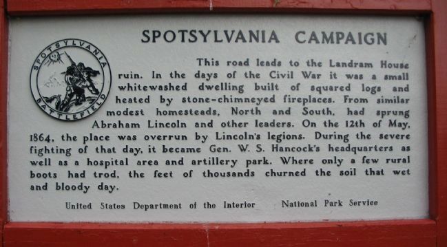
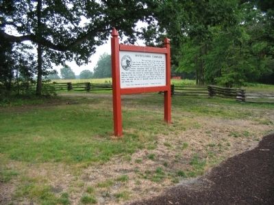
Spotsylvania Campaign
Erected by United States Department of the Interior - National Park Service.
Topics. This historical marker is listed in this topic list: War, US Civil. A significant historical date for this entry is May 12, 1864.
Location. 38° 13.408′ N, 77° 36.088′ W. Marker is near Spotsylvania Courthouse, Virginia, in Spotsylvania County. Marker is on Grant Drive, on the left when traveling east. Located at tour stop three (Bloody Angle) on the driving tour of Spotsylvania Battlefield unit of the Fredericksburg and Spotsylvania National Military Park. Touch for map. Marker is in this post office area: Spotsylvania VA 22553, United States of America. Touch for directions.
Other nearby markers. At least 8 other markers are within walking distance of this marker. The Muleshoe Salient (a few steps from this marker); Attack on the Muleshoe (within shouting distance of this marker); Bloody Angle, Crowded Ravine (within shouting distance of this marker); Aftermath (about 300 feet away, measured in a direct line); a different marker also named Spotsylvania Campaign (about 400 feet away); 126th Ohio Volunteer Infantry (about 400 feet away); 49th New York Infantry (about 400 feet away); McGowan's Brigade (about 400 feet away). Touch for a list and map of all markers in Spotsylvania Courthouse.
Also see . . . Bloody Angle. National Park Service website entry (Submitted on August 15, 2008, by Craig Swain of Leesburg, Virginia.)

Photographed By Craig Swain, July 6, 2008
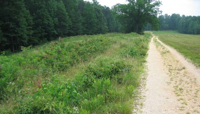
3. Road to the Landram House
The road to the house today is only used for service vehicles, but is also part of the hiking trail for the Bloody Angle. To the left of the road are the remains of Federal earthworks. In the distance, at the tree line at the end of the road, is the site of the Landram House.
Credits. This page was last revised on December 17, 2022. It was originally submitted on August 15, 2008, by Craig Swain of Leesburg, Virginia. This page has been viewed 1,084 times since then and 10 times this year. Photos: 1, 2, 3. submitted on August 15, 2008, by Craig Swain of Leesburg, Virginia.

