Fort Oglethorpe in Catoosa County, Georgia — The American South (South Atlantic)
Sheridan's Division
McCook's Corps
— Major General Philip H. Sheridan —
Major. General Philip H. Sheridan.
September 20, 1863, 7 p.m.
1st Brigade - Colonel Silas Miller
2nd Brigade - Colonel Bernard Laiboldt
3rd Brigade - Colonel Nathan H. Walworth
After the attack upon the Division by Hindman's Troops on the high ground northwest of Widow Glenn's, Sheridan withdrew his Division to McFarland's Gap and proceeded to Rossville. Thence, under instructions from General Rosecrans, he marched at 5 p.m. through Rossville Gap to join Thomas. Reaching this point at 7 p.m. and finding Confederate forces occupying the direct line to General Thomas' position, Lieutenant M. V. Sheridan was sent by a circuitous route to communicate with that office, and returned with orders to General Sheridan to hold his position until the withdrawal of the left and center had been accomplished. That movement being completed the Division joined the army at Rossville. Total loss, September 19th and 20th; killed 151; wounded 939; missing 276.
Erected 1890 by the Chickamauga and Chattanooga National Military Park Commission. (Marker Number MT-528.)
Topics. This historical marker is listed in this topic list: War, US Civil. A significant historical date for this entry is September 20, 1893.
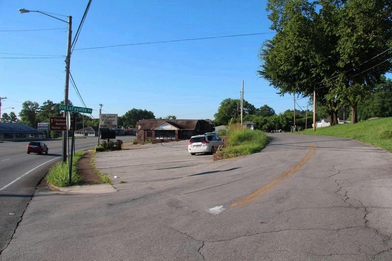
Location. Marker is missing. It was located near 34° 57.72′ N, 85° 15.504′ W. Marker was in Fort Oglethorpe, Georgia, in Catoosa County. Marker was at the intersection of Lafayette Road (U.S. 27) and Old Lafayette Road, on the right when traveling south on Lafayette Road. Touch for map. Marker was in this post office area: Fort Oglethorpe GA 30742, United States of America. Touch for directions.
Other nearby markers. At least 8 other markers are within walking distance of this location. Pegram's Division (approx. 0.6 miles away); 10th Confederate Georgia Cavalry (approx. 0.6 miles away); 6th Georgia Cavalry (approx. 0.6 miles away); First Firing on Chickamauga Battlefield (approx. 0.6 miles away); Reserve Corps (approx. 0.6 miles away); Forrest's Pursuit (approx. 0.6 miles away); Forrest's (Cavalry) Corps. (approx. 0.6 miles away); 1st Georgia Cavalry (approx. 0.7 miles away). Touch for a list and map of all markers in Fort Oglethorpe.
More about this marker. According to James Ogden, the historian for the Chickamauga and Chattanooga National Military Park, this particular tablet,"is a long missing Sheridan's Division tablet that used to stand along the LaFayette Road at the intersection of the LaFayette Road and Old LaFayette Road a couple hundred yards south of the intersection of the LaFayette Road and modern Cloud Springs Road/GA 146."
Credits. This page was last revised on July 17, 2017. It was originally submitted on April 30, 2017, by Dale K. Benington of Toledo, Ohio. This page has been viewed 468 times since then and 44 times this year. Photos: 1. submitted on April 30, 2017, by Dale K. Benington of Toledo, Ohio. 2, 3, 4, 5. submitted on July 17, 2017, by Dale K. Benington of Toledo, Ohio.


