Pittsfield Township near Ann Arbor in Washtenaw County, Michigan — The American Midwest (Great Lakes)
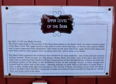
Upper Level of the Barn
[lat N42 11.937 lon W083 44.442]
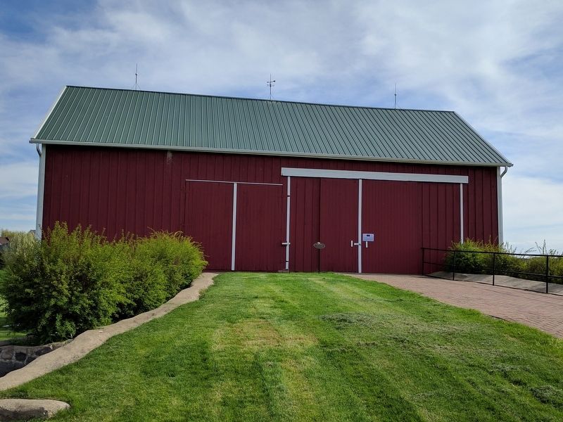
The front ramp leads to the portion of the barn that related to the Farm Yard; the lower section is part of the Barn Yard. The upper portion was used to store straw and hay, to thresh oats and/or wheat, and to store important farm equipment. Two areas on the west end of the upper level of the barn may have been used to store grains such as wheat and oats, either loose or in sacks.
The Barn Yard contained the buildings that sheltered the farm animals — one of the primary sources of farm income. These include the Hog House, Sheep Shed, the lower level of the barn that housed milk cows or cattle and the Stables/Chicken Coop portion of the Carriage House. A fence ran from the northeast corner of the Barn to the southwest corner of the Carriage House. A water trough was located half on either side of the fence — allowing animals on both sides of the fence to drink from it. Also, a wide, sturdy farm gate was located in this stretch of fence, providing access from the Farm Yard to the Barn Yard. The fence continued to make an enclosure that included the Hog House, Sheep Barn and lower level of the Barn.
Erected by Pittsfield Township Historical Society.
Topics. This historical marker is listed in this topic list: Agriculture.
Location. 42° 11.937′ N, 83° 44.442′ W. Marker is near Ann Arbor, Michigan, in Washtenaw County. It is in Pittsfield Township. Marker can be reached from Textile Road, 0.4 miles west of South State Road. Marker is behind the Sutherland-Wilson farmhouse. Touch for map. Marker is at or near this postal address: 797 Textile Road, Ann Arbor MI 48108, United States of America. Touch for directions.
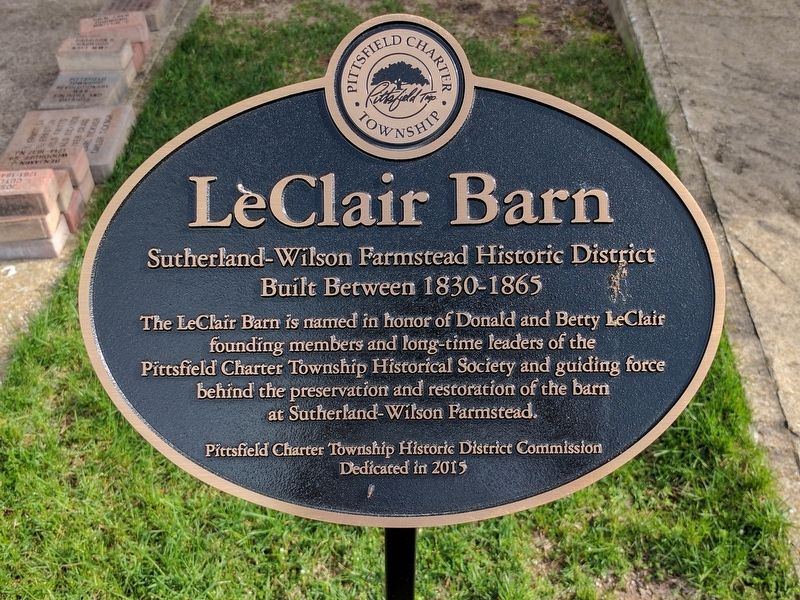
Other nearby markers. At least 8 other markers are within 3 miles of this marker, measured as the crow flies. LeClair Barn (here, next to this marker); Lower Level of the Barn (a few steps from this marker); Hog House (within shouting distance of this marker); Wood Shed (within shouting distance of this marker); Sutherland - Wilson Farm (about 300 feet away, measured in a direct line); An Early Township Blacksmith (approx. 2.4 miles away); Davenport House (approx. 2.7 miles away); Robison-Bahnmiller Funeral Home (approx. 2.8 miles away). Touch for a list and map of all markers in Ann Arbor.
Credits. This page was last revised on February 7, 2023. It was originally submitted on May 1, 2017, by Joel Seewald of Madison Heights, Michigan. This page has been viewed 180 times since then and 7 times this year. Photos: 1, 2, 3. submitted on May 1, 2017, by Joel Seewald of Madison Heights, Michigan.


