Near Markleeville in Alpine County, California — The American West (Pacific Coastal)
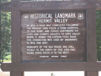
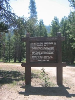
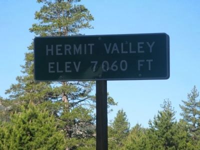
Hermit Valley
Historical Landmark
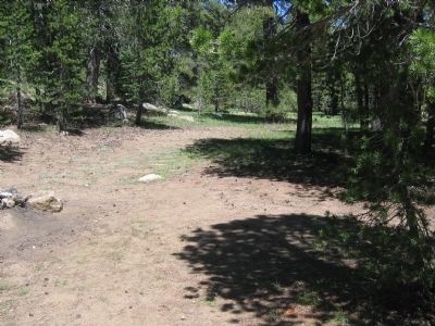
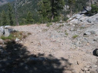
Remnants of the route are still visible to the north of this sign and along State Route 4 to the west.
Erected by United States Forest Service-Stanislaus National Forest.
Topics. This historical marker is listed in these topic lists: Landmarks • Roads & Vehicles. A significant historical year for this entry is 1856.
Location. 38° 32.316′ N, 119° 53.537′ W. Marker is near Markleeville, California, in Alpine County. Marker is on Ebbetts Pass (State Highway 4), on the right when traveling east. Marker may only be seen during the late Spring, Summer and early Fall as the highway is closed during the winter. Touch for map. Marker is in this post office area: Markleeville CA 96120, United States of America. Touch for directions.
Other nearby markers. At least 8 other markers are within 10 miles of this marker, measured as the crow flies. Ebbetts Pass (approx. 4.3 miles away); Reynolds Peak (approx. 4.7 miles away); Bedrock Mortars (approx. 7.1 miles away); Reynold’s House (approx. 7.3 miles away); Historic Silver Mountain City (approx. 8.1 miles away); Silver Mountain (approx. 8.1 miles away); Old Emigrant Road (approx. 10 miles away); Harry Schimke (approx. 10 miles away). Touch for a list and map of all markers in Markleeville.
Additional commentary.
1. Re-painting of Lettering on Marker
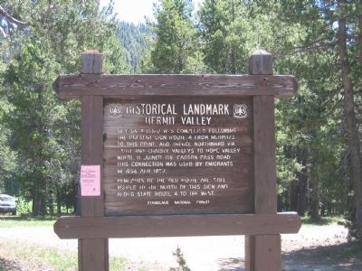
During the summer of 2006 I stopped to read this marker. At the time the paint on the letters was so chipped and worn off that it was very difficult to read. I stopped by the Alpine Ranger Station and asked for permission to re-paint the letters. Later in the month a friend and I drove back up the pass and spent a day re-painting this marker as well as the Ebbetts Pass marker.
— Submitted September 17, 2008, by Syd Whittle of Mesa, Arizona.
2. History of Hermit Valley
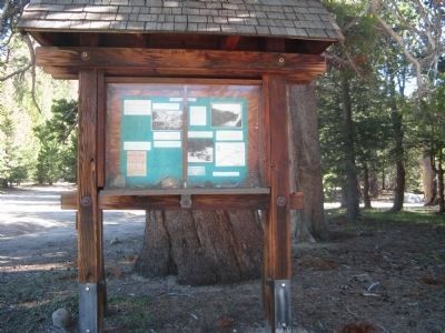
A short walk from the marker is a kiosk prepared and set up by Lonnie Allison and Susi Lewis, United States Forest Service. Mrs. Lewis is also a Board Member of the Ebbetts Pass Historical Society. Information on the kiosk is as follows:
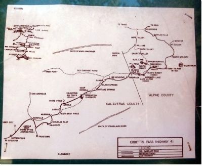
"In the spring of 1827, the intrepid Jedediah Smith became the first non-Indian known to cross the Sierra Nevada’s. Smith entered California from the south, to trap Beaver and other fur-bearing animals. He was working his way north to an area around Copperopolis. He then went east along a river Smith called “Appelamminy”, today the Stanislaus River. Smith’s party killed a couple of Grizzly Bears in what was later named Grizzly Bear Valley and is now called Bear Valley. As he went up the mountain, Jedediah crossed the Mokelumne River here in the Hermit Valley area. From here, Smith crossed the Sierra’s to Indian Valley, close to what was later known as Border Ruffian Pass (Deer Valley Trail). Within 25 years, thousands of prospectors and emigrants going to California would be crossing the Sierra from the east, close to where Jedediah Smith had originally crossed from the west.
By 1850, Border Ruffian Pass was traveled by many Emigrants, Prospectors, and Mountain Men. No one knows for sure how this pass got its name. According to one story in about 1848, some of the Border Ruffians (members of the Juaquin Murrieta’s gang) came into the area on horseback and stole seven young Indian maidens. When the Indian camp found out, they overtook the Ruffians, ambushing them in Indian Valley and rescuing the maidens.
In 1853, Major John Ebbetts conducted a general survey of the area for the Atlantic and Pacific railroad to join California
with the rest of the United States. Ebbetts recommended Border Ruffian Pass as the most suitable area for an east/west railroad crossing from here, at Hermit Valley to Hope Valley. John’s ambition was never realized. On April 15, 1854, John Ebbetts died in a steamboat explosion in San Pablo Bay near San Francisco, before his proposal could be formalized in Congress.
Silver was discovered in 1861 on Silver Mountain, a few miles east of today’s Ebbetts Pass. In what seemed like overnight, Silver Mountain City was built and a road from Hermit Valley to Markleeville was rapidly constructed. There were over 300 mining claims in the area and hundreds of people living there. Border Ruffian Pass slowly became less important.
In 1862, a small herd of camels raised quite a stir when they were herded through Calaveras Big Trees, Hermit Valley and over Ebbetts Pass to Nevada. The camel’s owner, Julius Bandmann was hopeful of using them as pack animals in silver mining. This did not materialize. Later camels are also reported to have crossed Border Ruffian Pass.
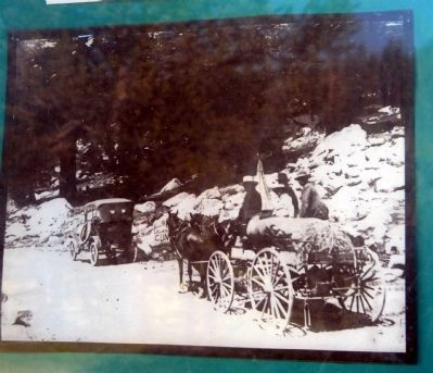
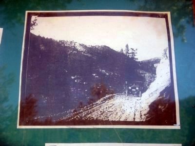
In 1911, the road was taken over by the State of California and became a free public road- “State Route 24”. During the 1920’s, this road was renamed “Alpine Highway”. By the 1950’s, it was called “Ebbetts Pass Highway” and today the highway you see here in Hermit Valley is Highway 4. It has short radius curves, steep grades, and restricted site distance. It is still one of the more truly rugged Highways through the Sierras. When driving over Highway 4 from Lake Alpine, through Hermit Valley and over Ebbetts Pass to the town of Markleeville, you may still get the feeling of how it must have been in the 1800’s to travel this primitive route."
— Submitted July 9, 2009, by Syd Whittle of Mesa, Arizona.
Credits. This page was last revised on June 16, 2016. It was originally submitted on August 15, 2008, by Syd Whittle of Mesa, Arizona. This page has been viewed 2,912 times since then and 25 times this year. Photos: 1, 2. submitted on August 15, 2008, by Syd Whittle of Mesa, Arizona. 3. submitted on January 4, 2009, by Syd Whittle of Mesa, Arizona. 4, 5. submitted on August 15, 2008, by Syd Whittle of Mesa, Arizona. 6. submitted on November 2, 2008, by Syd Whittle of Mesa, Arizona. 7, 8, 9, 10, 11. submitted on July 8, 2009, by Syd Whittle of Mesa, Arizona. • Craig Swain was the editor who published this page.
