Fort Monroe in Hampton, Virginia — The American South (Mid-Atlantic)
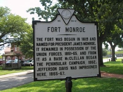
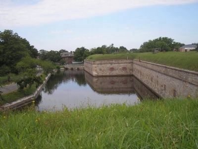
Fort Monroe
Erected 1928 by Conservation and Development Commission. (Marker Number W-90.)
Topics and series. This historical marker is listed in these topic lists: Forts and Castles • Military • Notable Buildings • Notable Places • War, US Civil. In addition, it is included in the Former U.S. Presidents: #05 James Monroe, and the Virginia Department of Historic Resources (DHR) series lists. A significant historical year for this entry is 1819.
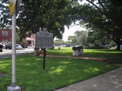
Location. 37° 0.26′ N, 76° 18.687′ W. Marker is in Hampton, Virginia. It is in Fort Monroe. Marker is at the intersection of Ingalls Road (U.S. 258) and Main Gate, on the left when traveling south on Ingalls Road. Touch for map. Marker is in this post office area: Fort Monroe VA 23651, United States of America. Touch for directions.
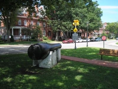
Other nearby markers. At least 8 other markers are within walking distance of this marker. Rodman Gun (here, next to this marker); a different marker also named Rodman Gun (a few steps from this marker); Veterans of the Battle of the Bulge (within shouting distance of this marker); a different marker also named Rodman Gun (within shouting distance of this marker); Escape To Freedom (about 300 feet away, measured in a direct line); Freedom’s Fortress (about 300 feet away); Fort Monroe Arsenal (about 600 feet away); The Old Cistern (about 700 feet away). Touch for a list and map of all markers in Hampton.
Also see . . .
1. Fort Monroe, National Park Service. (Submitted on August 19, 2019.)
2. Fort Monroe (Stone Fort) National Register of Historic Places Registration Form. (Submitted on August 19, 2019.)
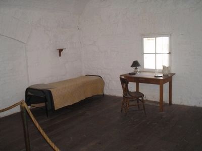
Photographed By Bill Coughlin, August 11, 2008
5. Jefferson Davis Casemate
Jefferson Davis, former President of the Confederate States of America, was held in this casemate in Fort Monroe from May 22 through May 28, 1865. He was moved to Carroll Hall after his health began to suffer as a result of his confinement.
Credits. This page was last revised on February 1, 2023. It was originally submitted on August 15, 2008, by Bill Coughlin of Woodland Park, New Jersey. This page has been viewed 1,298 times since then and 24 times this year. Photos: 1, 2, 3, 4, 5. submitted on August 15, 2008, by Bill Coughlin of Woodland Park, New Jersey.
