Tennille in Washington County, Georgia — The American South (South Atlantic)
Tennille Station
Sherman's "Wings" Converge
— March to the Sea Heritage Trail —
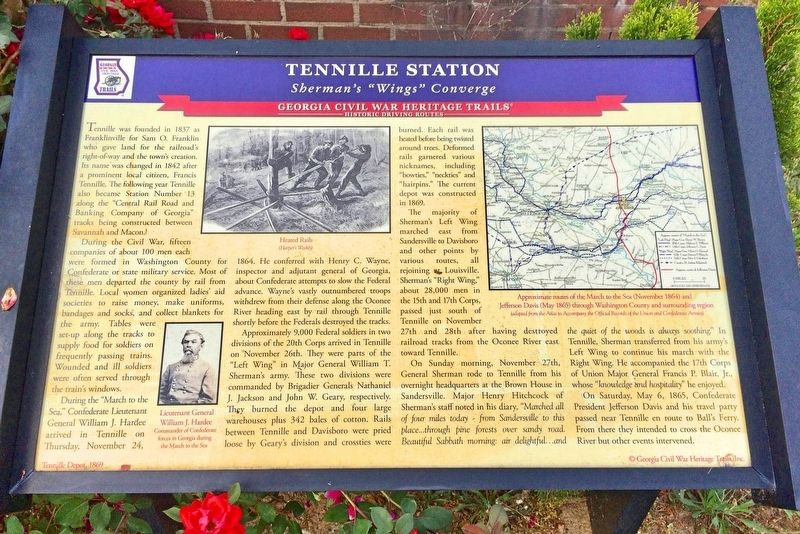
During the Civil War, fifteen companies of about 100 men each were formed in Washington County for Confederate or state military service. Most of these men departed the county by rail from Tennille. Local women organized ladies' aid societies to raise money, make uniforms bandages and socks, and collect blankets for the army. Tables were set-up along the tracks to supply food for soldiers on frequently passing trains. Wounded and ill soldiers were often served through the train's windows.
During the "March to the Sea," Confederate Lieutenant General William J. Hardee arrived in Tennille on Thursday, November 24, 1864. He conferred with Henry C. Wayne, inspector and adjutant general of Georgia, about Confederate attempts to slow the Federal advance. Wayne's vastly outnumbered troops withdrew from their defense along the Oconee River heading east by rail through Tennille shortly before the Federals destroyed the tracks.
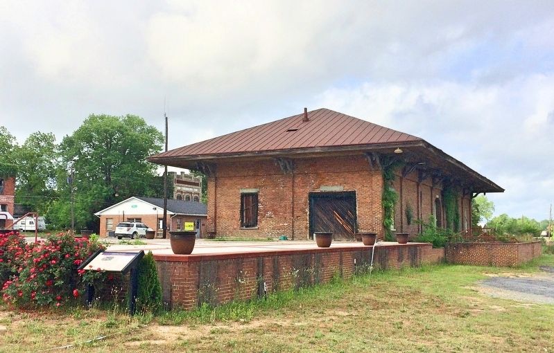
Approximately 9,000 Federal soldiers in two divisions of the 20th Corps arrived in Tennille on November 26th. They were parts of the "Left Wing" in Major General William T. Sherman's army. These two divisions were commanded by Brigadier Generals Nathaniel J. Jackson and John W. Geary, respectively. They burned the depot and four large warehouses plus 342 bales of cotton. Rails between Tennille and Davisboro were pried loose by Geary's division and crossties were burned. Each rail was heated before being twisted around trees. Deformed rails garnered various nicknames including "bowties," "neckties" and "hairpins." The current depot was constructed in 1869.
The majority of Sherman's Left Wing marched east from Sandersville to Davisboro and other points by various routes, all rejoining Louisville Sherman's "Right Wing" about 28,000 men in the 15th and 17th Corps passed just south of Tennille on November 27th and 28th after having destroyed railroad tracks from the Oconee River east toward Tennille.
On Sunday morning, November 27th General Sherman rode to Tennille from his overnight headquarters at the Brown House in Sandersville. Major Henry Hitchcock of Sherman's staff noted in his diary, "Marched all of four miles today ~ from Sandersville to this place...through pine forests over sandy road. Beautiful Sabbath morning, air delightful...and the quiet of the woods is always soothing." In Tennille, Sherman transferred from his army's Left Wing to continue his march with the Right Wing. He accompanied the 17th Corps of Union Major General Francis P. Blair, Jr. whose "knowledge and hospitality" he enjoyed.
On Saturday, May 6, 1865, Confederate President Jefferson Davis and his travel party passed near Tennille en route to Ball's Ferry. From there they intended to cross the Oconee River but other events intervened.
[Photo captions]
Bottom left: Lieutenant General William J. Hardee
Commander of Confederate Forces in Georgia during the March to the Sea
Middle: Heated Rails (Harper's Weekly)
Top right: Approximate routes of the "March to the Sea" through middle Georgia (November 1864) and Jefferson Davis (May 1865) through Washington County and surrounding region (adopted from the Atlas to Accompany the Official Records of the Union and Confederate Armies)
Erected by Georgia Civil War Heritage Trails, Inc. (Marker Number L19.)
Topics and series. This historical marker is listed in these topic lists: Railroads & Streetcars • War, US Civil. In addition, it is included in the Georgia Civil War Trails, and the Sherman’s March to the Sea series lists. A significant historical month for this entry is November 1837.
Location. 32° 56.158′ N, 82° 48.738′ W. Marker is in Tennille, Georgia, in Washington County. Marker is at the intersection of Smith Street and West North Central Avenue on Smith Street. Touch for map. Marker is at or near this postal address: Smith Street, Tennille GA 31089, United States of America. Touch for directions.
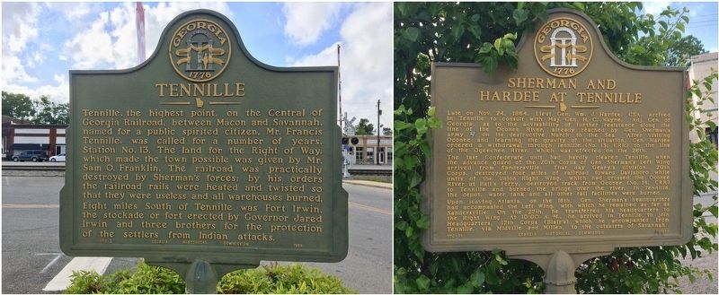
Other nearby markers. At least 8 other markers are within 4 miles of this marker, measured as the crow flies. Tennille (a few steps from this marker); Sherman and Hardee at Tennille (within shouting distance of this marker); Nancy Hart Highway (about 500 feet away, measured in a direct line); In Honor of Our Confederate Soldiers (about 500 feet away); Forest Grove (approx. 2.4 miles away); Jefferson Davis (approx. 2.7 miles away); Old City Cemetery (approx. 3.2 miles away); Rev. J. D. Anthony (approx. 3.2 miles away). Touch for a list and map of all markers in Tennille.
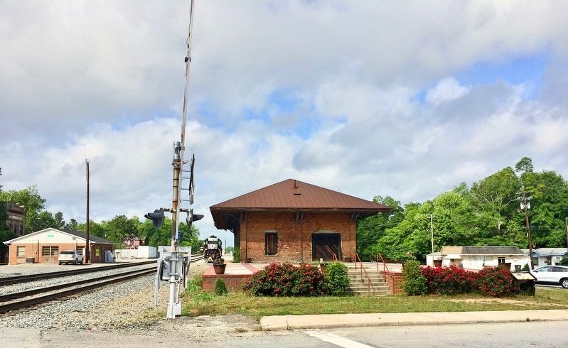
Regarding Tennille Station. The present depot was constructed on this same site as the original shortly after the war. Five and one half months after Sherman's army visited Tennille, on May 6, 1865, Jefferson Davis and his riding companions hurried passed through Tennille as they continued south toward their eventual capture at Irwinville four days later.
Part of the Jefferson Davis Heritage Trail.
Credits. This page was last revised on November 16, 2017. It was originally submitted on May 5, 2017, by Mark Hilton of Montgomery, Alabama. This page has been viewed 762 times since then and 46 times this year. Photos: 1, 2, 3, 4. submitted on May 5, 2017, by Mark Hilton of Montgomery, Alabama.


