Potomac in Montgomery County, Maryland — The American Northeast (Mid-Atlantic)
The Maryland Mine
Chesapeake and Ohio Canal Historical Park
— National Park Service, U.S. Department of the Interior —
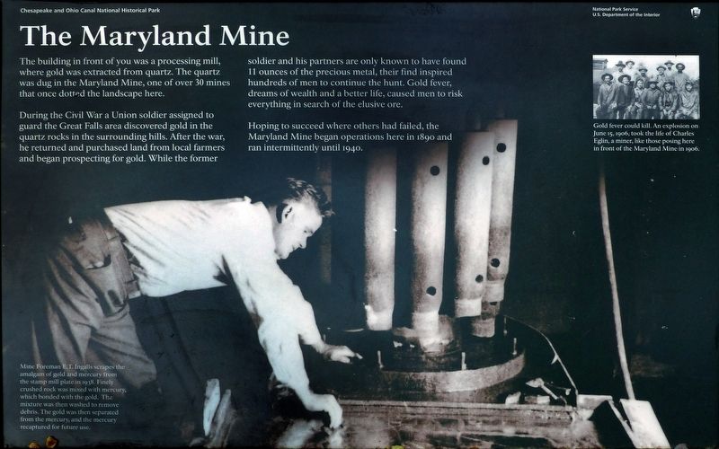
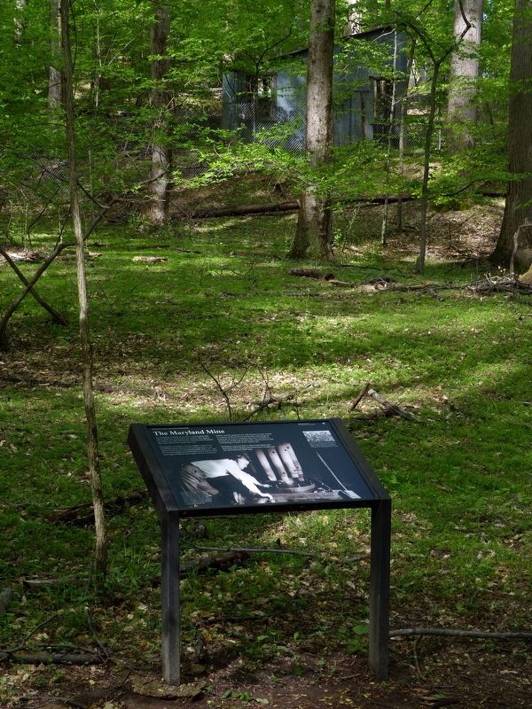
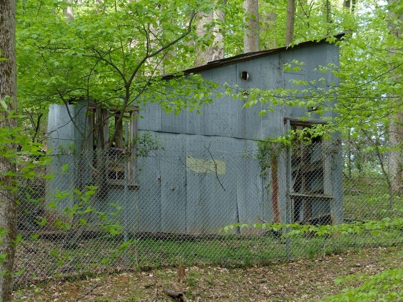
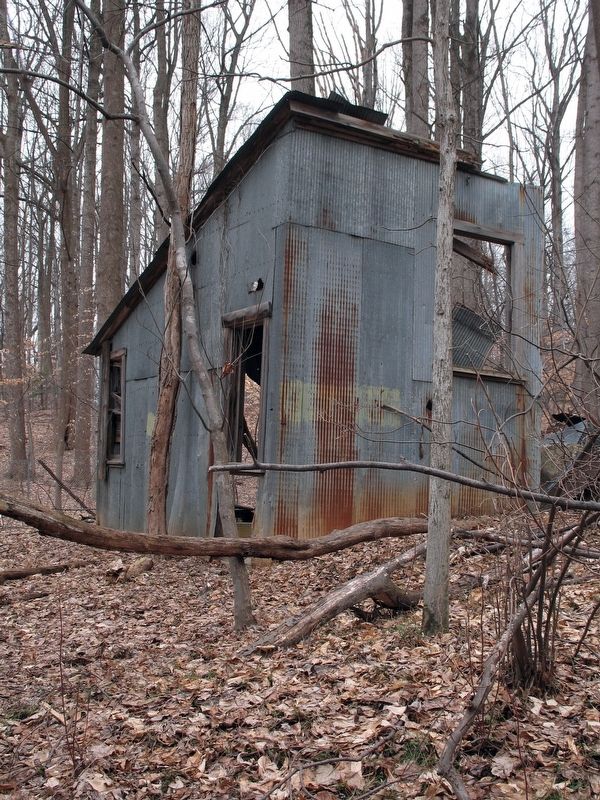
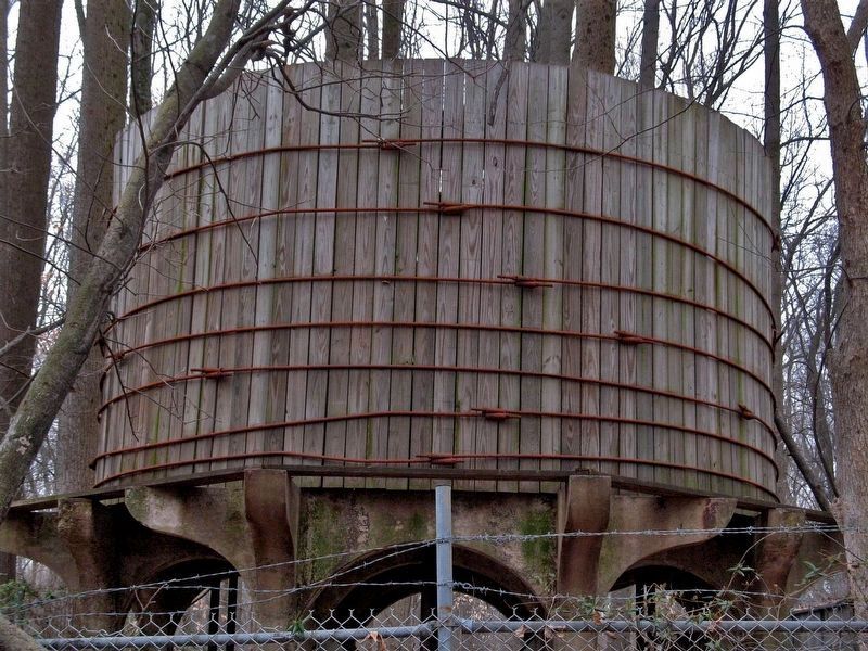
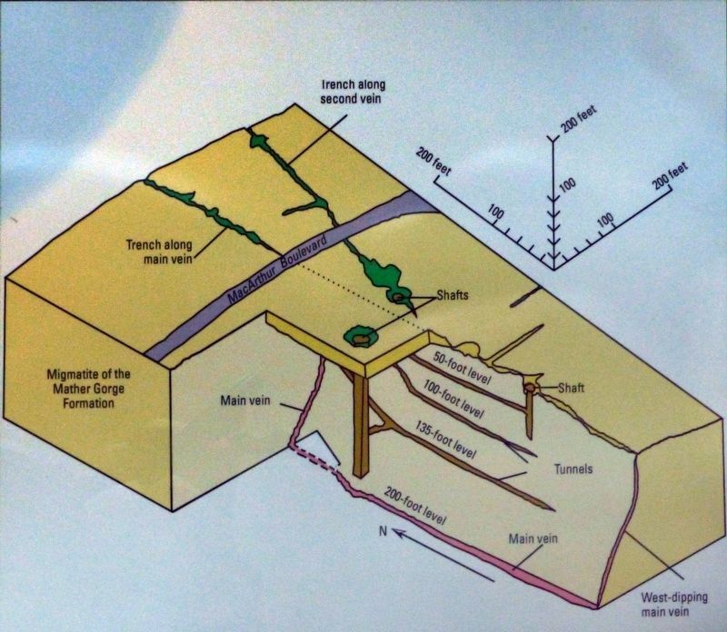
The building in front of you was a processing mill, where gold was extracted from quartz. The quartz was dug in the Maryland Mine, one of over 30 mines that once dotted the landscape here.
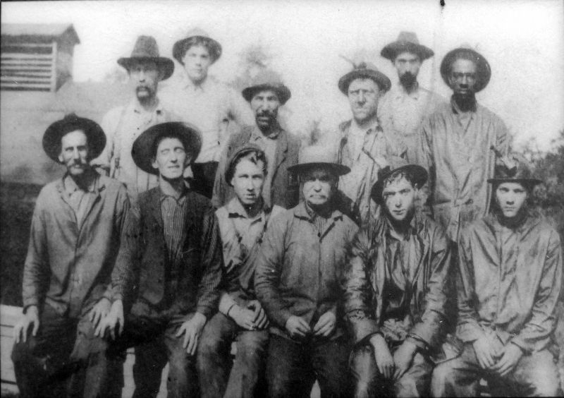
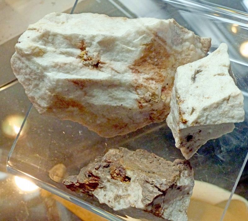
During the Civil War a Union soldier assigned to guard the Great Falls area discovered gold in the quartz rocks in the surrounding hills. After the war, he returned and purchased land from local farmers and began prospecting for gold. While the former soldier and his partners are only known to have found 11 ounces of the precious metal, their find inspired hundreds of men to continue to hunt. Gold fever, dreams of wealth and a better life, caused men to risk everything in search of the elusive ore.
Hoping to succeed where others failed, the Maryland Mine began operations here in 1890 and ran intermittently until 1940.
Erected by National Park Service, U.S. Department of the Interior.
Topics. This historical marker is listed in these topic lists: Industry & Commerce • Natural Resources • War, US Civil. A significant historical year for this entry is 1890.
Location. 38° 59.679′ N, 77° 13.95′ W. Marker is in Potomac, Maryland, in Montgomery County. Marker can be reached from Falls Road. The marker stands along the Goldmine Loop Trail in the C&O National Historical Park at Great Falls, near the intersection of Falls Road and MacArthur Boulevard. Touch for map. Marker is in this post office area: Potomac MD 20854, United States of America. Touch for directions.
Other nearby markers. At least 8 other markers are within walking distance of this marker. Great Falls of the Potomac (about 600 feet away, measured in a direct line); The Floods (approx. 0.7 miles away); Mather Gorge (approx. 0.9 miles away in Virginia); Fighting Floods (approx. 0.9 miles away); A Geologic Barrier (approx. 0.9 miles away); Creating a National Park (approx. 0.9 miles away); Washington Aqueduct (approx. 0.9 miles away); Welcome to Great Falls (approx. 0.9 miles away). Touch for a list and map of all markers in Potomac.
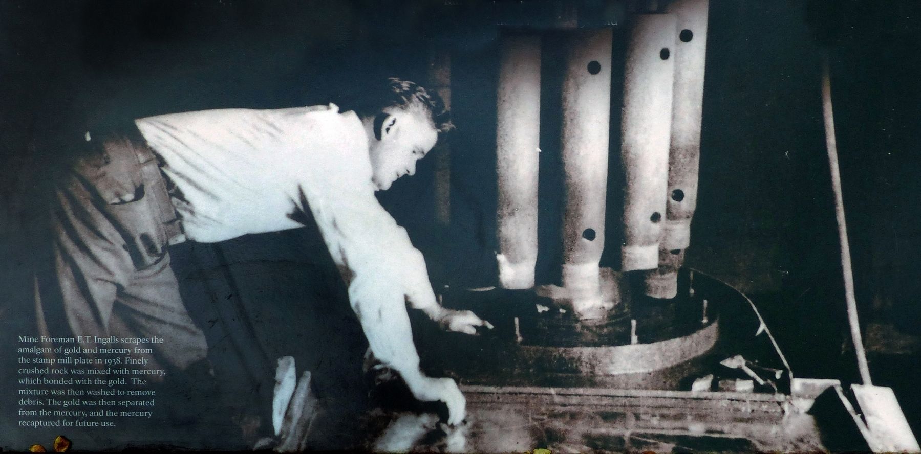
Regarding The Maryland Mine. “The gold was recovered by the oldest and easiest known method, Amalgamation, which is carried out by the addition of mercury to the pulp inside the mills at regular intervals. As the specific gravity of gold and mercury is nearly the same; they lag behind to combine and form an amalgam , while the lighter quartz pulp washes out in the tailing pool. The pulp from the stamp mill is washed over a silvered copper plate, brushed over with mercury, to catch the amalgam. The pulp from the ball mill is washed into an impact amalgamator for the same purpose. Large nuggets are recovered inside the stamp mill screens and the ball mill cylinder.
The concentrates were so low in values , they were allowed to run off with the tailings. After several weeks run, depending on the grade of ore going thru, the mills were shut down for a general clean-up. The solid amalgam was gathered and retorted , this vaporized mercury passing over from the retort thru a pipe was condensed in water and recovered to be used over again. The remaining gold left in the retort was ready for shipment to the mint in the form of a light yellow porous mass, called retort sponge.
Gold is nearly always alloyed with silver, which sometimes amounts to one third of the metal. The proportions of silver in Maryland gold is much less than is usually found in native gold. One mint receipt for $1,090.63 shows $.46 in silver. Another shows gold from hand mortored nuggets to run 977.3/4 fine.” — Edgar T. Englalls, 1960, The Discovery of Gold at Great Falls, Maryland, 1861.
Photographed By Allen C. Browne, April 26, 2017
3. Edgar T. Ingalls
Mine Foreman E. T. Ingalls scrapes the amalgam of gold and mercury from the stamp mill plate in 1938. Finely crushed rock was mixed with mercury, which bonded with the gold. The mixture was then washed to remove debris. The gold was then separated from the mercury, and the mercury recaptured for future use.Close-up of photo on marker
Credits. This page was last revised on September 28, 2020. It was originally submitted on April 27, 2017, by Allen C. Browne of Silver Spring, Maryland. This page has been viewed 487 times since then and 48 times this year. Last updated on May 9, 2017, by Darrel Ricketts of Silver Spring, Maryland. Photos: 1, 2, 3, 4, 5, 6. submitted on April 27, 2017, by Allen C. Browne of Silver Spring, Maryland. 7, 8, 9. submitted on April 28, 2017, by Allen C. Browne of Silver Spring, Maryland. • Bill Pfingsten was the editor who published this page.
