Near Waynesboro in Burke County, Georgia — The American South (South Atlantic)
Ivanhoe Plantation
1765
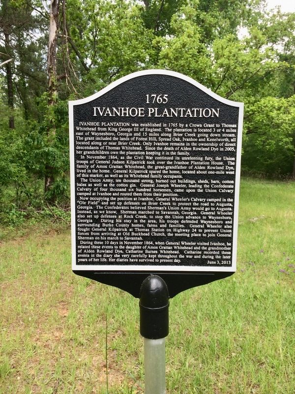
Ivanhoe Plantation was established in 1765 by a Crown Grant to Thomas Whitehead from King George III of England. The plantation is located 3 or 4 miles east of Waynesboro, Georgia and 15 miles along Brier Creek going down stream. The grant included the lands of Forest Hill, Spread Oak, Ivanhoe and Kenelworth, located along or near Brier Creek. Only Ivanhoe remains in the ownership of direct descendants of Thomas Whitehead. Since the death of Alden Rowland Dye in 2005, her grandchildren own the plantation keeping it in the family.
In November 1864, as the Civil War continued its unrelenting fury, the Union troops of General Judson Kilpatrick took over the Ivanhoe Plantation House family of Amos Grattan Whitehead, the great-grandfather of Alden Rowland Dye in the home. General Kilpatrick spared the home, located about one-mile west of this marker, as well as its Whitehead family occupants.
The Union Army ten thousand strong, burned out buildings, sheds, barn cotton bales as well as the cotton gin. General Joseph Wheelers leading the Confederate Calvary of four thousand six hundred horsemen, came upon the Union Calvary camped at Ivanhoe and routed them from their position.
Now occupying the position at Ivanhoe, General Wheeler's Calvary camped in the "Ole Field" and set up defenses on Brier Creek to protect the road to Augusta, Georgia. The Confederates believed Sherman's Union Army would go to Augusta. Instead, as we know, Sherman marched to Savannah, Georgia. General Wheeler also set up defenses at Rock Creek, to stop the Union advance to Waynesboro Georgia his stay in the area, his troops defended Waynesboro and surrounding Burke County homes, farms and families General Wheeler also fought General Kilpatrick at Thomas Station on Highway 24 to prevent Union from arriving at Old Buckhead Church, the meeting place to join General Sherman on his march to Savannah.
During these 10 days in November 1864, when General Wheeler visited Ivanhoe, he related these events to the daughter of Amos Grattan Whitehead and the grandmother of Alden Rowland Dye, Catharine Barnes Whitehead. Catharine recorded these events in the diary she very carefully kept throughout the war and during the later years of her life. Her diaries have survived to present day.
Erected 2013.
Topics. This historical marker is listed in these topic lists: Industry & Commerce • War, US Civil. A significant historical month for this entry is November 1864.
Location. 33° 7.532′ N, 82° 3.872′ W. Marker is near Waynesboro, Georgia, in Burke County. Marker is on West Quaker Road, 1.9 miles west of Cohen Road, on the right when traveling west. Touch for map. Marker is at or near this postal address: West Quaker Road, Waynesboro GA 30830, United States of America. Touch for directions.
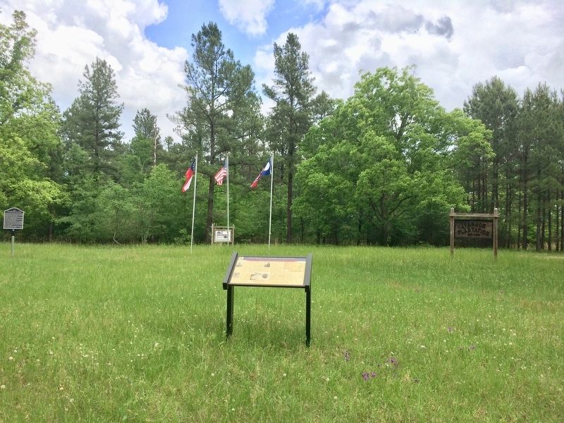
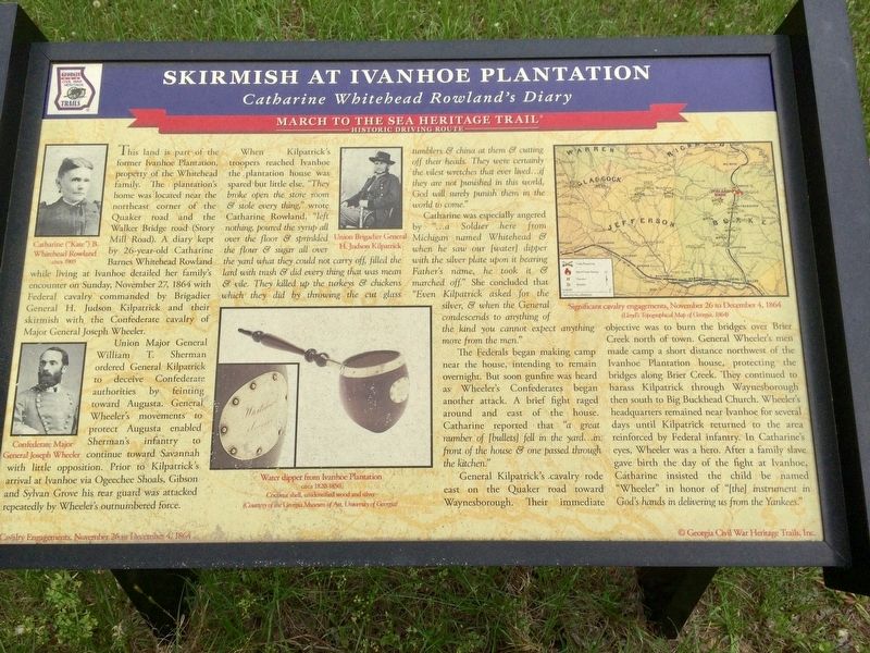
Other nearby markers. At least 8 other markers are within 4 miles of this marker, measured as the crow flies. Skirmish at Ivanhoe Plantation (a few steps from this marker); First Presbyterian Church (approx. 3½ miles away); Shell Bluff (approx. 3.6 miles away); Lost Burke County Men S.S. Otranto (approx. 3.7 miles away); Burke County's 8 Governors (approx. 3.7 miles away); Burke County (approx. 3.7 miles away); Burke County Veterans Memorial (approx. 3.7 miles away); Washington’s Southern Tour (approx. 3.7 miles away). Touch for a list and map of all markers in Waynesboro.
Also see . . . Tracing Sherman’s March to the Sea: The Last of a Four-Part Series. Historical Publications website entry includes the skirmish (Submitted on September 6, 2023, by Larry Gertner of New York, New York.)
Credits. This page was last revised on September 6, 2023. It was originally submitted on May 9, 2017, by Mark Hilton of Montgomery, Alabama. This page has been viewed 1,741 times since then and 144 times this year. Photos: 1, 2, 3. submitted on May 9, 2017, by Mark Hilton of Montgomery, Alabama.


