Montpelier Station in Orange County, Virginia — The American South (Mid-Atlantic)
Confederate Encampment
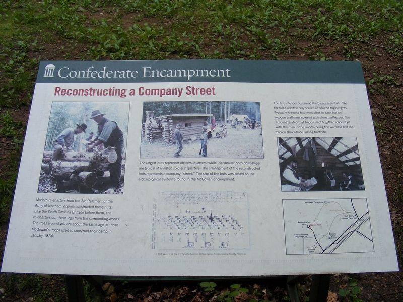
Reconstructing a Company Street
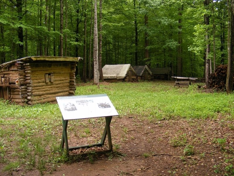
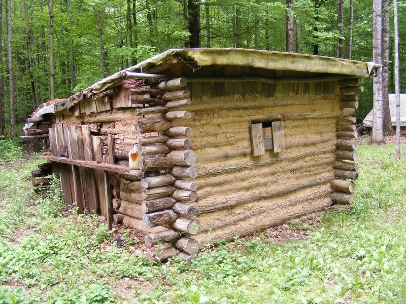
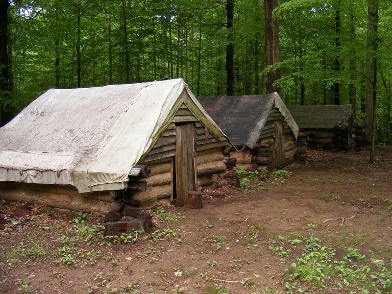
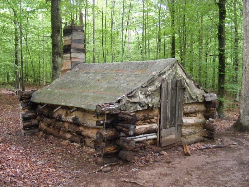
The largest huts represent officers' quarters, while the smaller ones downslope are typical of enlisted soldiers' quarters. The arrangement of the reconstructed huts represent a company "street." The size of the huts was based on the archaeological evidence found in the McGowan encampment.
The hut interiors contained the barest essentials. The fireplace was the only source of heat on frigid nights. Typically, three to four men slept in each hut on wooden platforms covered with straw mattresses. One account related that troops slept together spoon-style with the man in the middle being the warmest and the two on the outside risking frostbite.
Erected 2013 by Montpelier Foundation.
Topics. This historical marker is listed in this topic list: War, US Civil.
Location. 38° 13.705′ N, 78° 10.958′ W. Marker is in Montpelier Station, Virginia, in Orange County. Marker can be reached from the intersection of Constitution Highway (Virginia Route 20) and South Montpelier Road, on the right when traveling west. Touch for map. Marker is at or near this postal address: 11350 Constitution Hwy, Montpelier Station VA 22957, United States of America. Touch for directions.
Other nearby markers. At least 8 other markers are within walking distance of this marker. Post-Emancipation (about 500 feet away, measured in a direct line); Gilmore Family Cemetery (about 800 feet away); Gilmore Farm (approx. 0.2 miles away); Civil War Encampment (approx. 0.2 miles away); Dolley Madison (approx. 0.2 miles away); Civil War & Gilmore Farm Trail (approx. 0.3 miles away); Montpelier Train Station (approx. 0.3 miles away); Montpelier Flag Stop (approx. 0.3 miles away). Touch for a list and map of all markers in Montpelier Station.
Credits. This page was last revised on September 30, 2022. It was originally submitted on May 13, 2017, by Pete Payette of Orange, Virginia. This page has been viewed 425 times since then and 18 times this year. Photos: 1, 2, 3, 4, 5. submitted on May 13, 2017, by Pete Payette of Orange, Virginia. • Bernard Fisher was the editor who published this page.
