Slidell in St. Tammany Parish, Louisiana — The American South (West South Central)
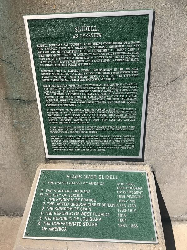
Slidell: An Overview
Sometime prior to Slidell's formal incorporation in 1888, its first streets were laid out in a grid pattern. The north-south streets were Bayou (now Front), First, Second, Third and Fourth. The east-west streets were Fremaux, Erlanger, Bouscaren and Cousin.
Erlanger, slightly wider than the others and designated as an avenue, was named after Baron Frederick Erlanger, John Slidell's son-in-law and head of the banking syndicate which financed the railway. Col. Leon J. Fremaux, a prominent Louisiana engineer and planter, drew the original plans for Slidell and named Fremaux Avenue for himself. Bouscaren Street was named for G. Bouscaren, the chief engineering officer of the railroad. Cousin Street took its name from the locally prominent Cousin family.
In the thirty or so years after its founding, Slidell developed a creosote plant, one of the country's largest brick manufacturing facilities, a large lumber mill, and a shipyard. The Slidell Shipyard contributed significantly to the nation's effort in both World Wars. Slidell residents worked in a local ship, tank and airplane construction during World War II.
In the 1960's Slidell began to assume its modern profile as one of the major sites for NASA's lunar landing program. In the 1980's and 1990's Slidell became a regional retail center.
Slidell is located at the southeastern tip of St. Tammany Parish in Louisiana's famous "Ozone Belt." It is about three miles from the north shore of Lake Pontchartrain and is surrounded by rivers and bayous. The largest municipality in the Parish, Slidell has grown from a population of 364 in 1890 to 24,142 in 1990. Slidell's 1999 population is estimated to be 32,000. Today, Slidell continues to deal with urban growth while preserving a sense of its history.
Flags Over Slidell
I. The United States of America 1810-1860:1865-Present
II. The State of Louisiana 1812 - Present
III. The City of Slidell 1888-Present
1. The Kingdom of France 1682-1763
2. The United Kingdom (Great Britain) 1763-1783
3. The Kingdom of Spain 1783-1810
4. The Republic of West Florida 1810
5. The Republic of Louisiana 1861
6. The Confederate States of America 1861-1865
Topics. This historical marker is listed in this topic list: Settlements & Settlers.
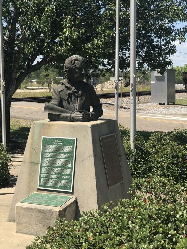
Location. 30° 16.838′ N, 89° 46.902′ W. Marker is in Slidell, Louisiana, in St. Tammany Parish. Marker is on Front Street (U.S. 11) near Pennsylvania Avenue, on the right when traveling south. Located at the Flag Plaza and Monument at the Slidell Station. Touch for map. Marker is at or near this postal address: 1827 Front Street, Slidell LA 70458, United States of America. Touch for directions.
Other nearby markers. At least 8 other markers are within 3 miles of this marker, measured as the crow flies. John Slidell (here, next to this marker); a different marker also named John Slidell (approx. 0.3 miles away); Slidell Town Hall and Jail (approx. 0.3 miles away); 1st United Methodist Church (approx. 0.3 miles away); City of Slidell Centennial (approx. 0.4 miles away); a different marker also named John Slidell (approx. 0.4 miles away); Salmen Lodge (approx. 2.7 miles away); Fritz Salmen (approx. 2.7 miles away). Touch for a list and map of all markers in Slidell.
Credits. This page was last revised on May 14, 2017. It was originally submitted on May 14, 2017, by Cajun Scrambler of Assumption, Louisiana. This page has been viewed 438 times since then and 52 times this year. Photos: 1, 2. submitted on May 14, 2017.

