Three Rivers in Tulare County, California — The American West (Pacific Coastal)
The CCC Boys
The CCC Boys
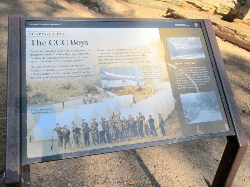
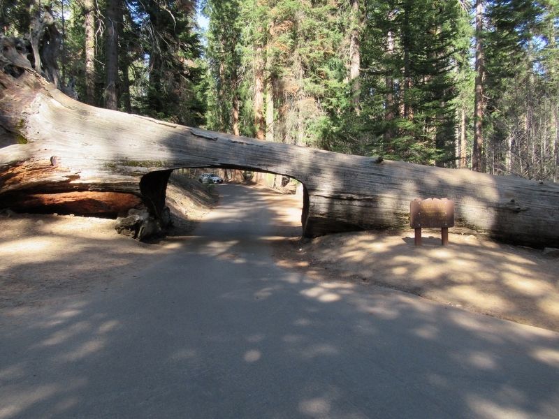
Tunnel Log reminds us of the work of young men who struggled to survive the Great Depression in the 1930s. The drive-through hole in the log was carved by the “boys” of the Civilian Conservation Corps (CCC).
The Great Depression left millions unemployed. Congress created the CCC to put young men to work and get paychecks to their families. The CCC worked mostly on public lands, including Sequoia National Park.
Despite youth and inexperience, the CCC boys proved remarkable in developing many features of this park and at thousands of other places across the nation. They built roads, trails, buildings, campgrounds, water systems, and more — much of which is still used today.
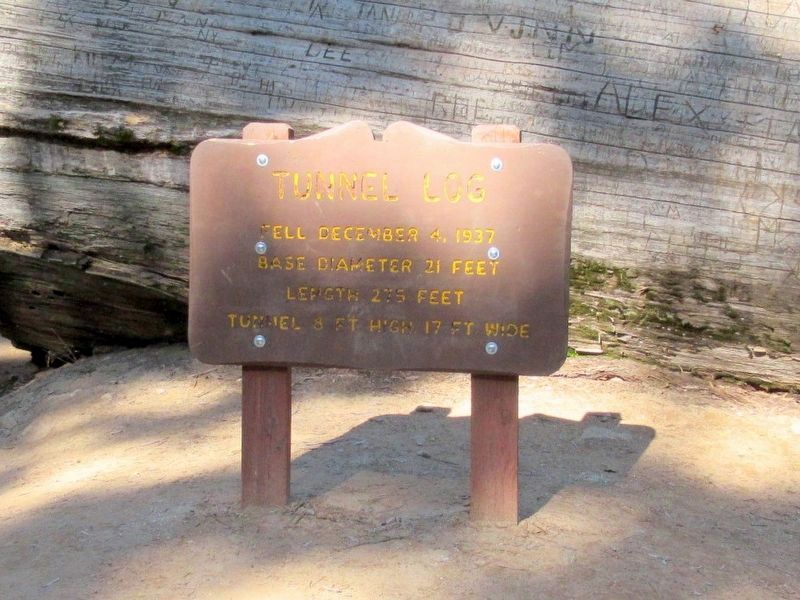
When this sequoia fell across the road on December 4, 1937, CCC worker Roy DeVoe of Weldon, California suggested cutting the tunnel. The tree extended 275 feet long, with a base diameter of 21 feet.
Topics and series. This historical marker is listed in this topic list: Horticulture & Forestry. In addition, it is included in the Civilian Conservation Corps (CCC) series list. A significant historical date for this entry is December 4, 1937.
Location. 36° 33.151′ N, 118° 45.684′ W. Marker is in Three Rivers, California, in Tulare County. Marker is on Crescent Meadow Road, 1.7 miles south of Generals Hwy, on the left when traveling south. Located in Sequoia National Park. Touch for map. Marker is in this post office area: Three Rivers CA 93271, United States of America. Touch for directions.
Other nearby markers. At least 8 other markers are within one mile of this marker, measured as the crow flies. Stephen Tyng Mather (about 300 feet away, measured in a direct line); Call the Cavalry! (approx. 0.2 miles away); Buttress Tree (approx. ¼ mile away); Auto Log (approx. 0.4 miles away); Colonel Young: A Buffalo Soldier (approx. half a mile away); The Naturalists (approx. half a mile away); Middle Fork Canyon (approx. 0.7 miles away); For the Good of the Giants (approx. 1.1 miles away). Touch for a list and map of all markers in Three Rivers.
Also see . . . Sequoia National Park. (Submitted on May 14, 2017, by Michael Herrick of Southbury, Connecticut.)
Credits. This page was last revised on May 14, 2017. It was originally submitted on May 14, 2017, by Michael Herrick of Southbury, Connecticut. This page has been viewed 326 times since then and 15 times this year. Photos: 1, 2, 3. submitted on May 14, 2017, by Michael Herrick of Southbury, Connecticut.


