Franklin in Williamson County, Tennessee — The American South (East South Central)
The Long Road to Recovery
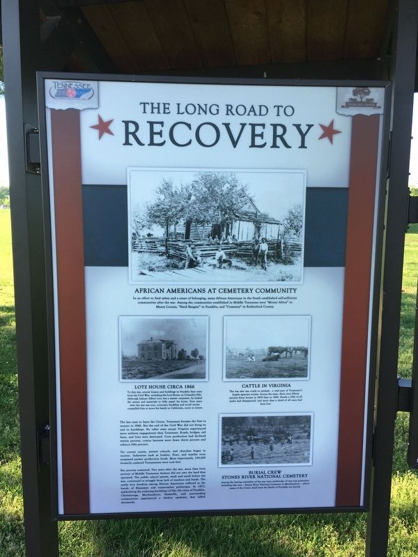
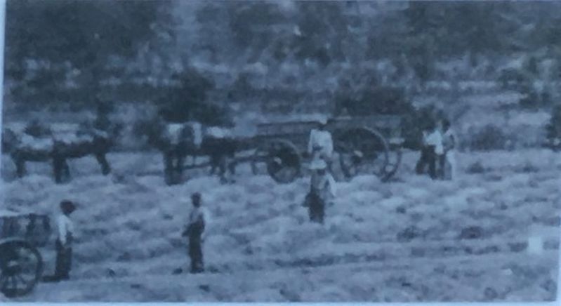
Yet county courts, private schools, and churches began to recover. Industries such as lumber, four, and textiles soon surpassed prewar production levels. Most importantly, 250,000 formerly enslaved Tennesseans were now free.
But poverty remained. Five years after the war, more than forty percent of Middle Tennessee farmers did not own the land they operated. The public school system, weak and small before the war, continued to struggle from lack of teachers and funds. The newly won freedom among African Americans suffered at the hands of Klansmen and conservative politicians. In 1873, symbolizing the enduring hardships of life, the cities of Franklin, Chattanooga, Murfreesboro, Nashville, and surrounding communities experienced a cholera epidemic that killed thousands.
Erected by Franklin's Charge.
Topics. This historical marker is listed in these topic lists: African Americans • Agriculture • War, US Civil. A significant historical year for this entry is 1866.
Location. 35° 54.344′ N, 86° 51.615′ W. Marker is in Franklin, Tennessee, in Williamson County. Marker can be reached from Eastern Flank Circle, 0.4 miles south of Lewsiburg Pike (Business U.S. 431), on the right when traveling west. Marker is located in Eastern Flank Battlefield Park. Touch for map. Marker is at or near this postal address: 1345 Eastern Flank Cir, Franklin TN 37064, United States of America. Touch for directions.
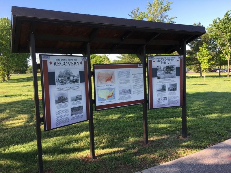
Other nearby markers. At least 8 other markers are within walking distance of this marker. Confederate Reunions at McGavock's Grove (here, next to this marker); A Dream Postponed (here, next to this marker); Battle of Franklin, Eastern Flank (a few steps from this marker); Battle of Franklin, Aftermath (within shouting distance of this marker); a different marker also named Battle of Franklin, Eastern Flank (within shouting distance of this marker); a different marker also named Battle of Franklin, Eastern Flank (about 300 feet away, measured in a direct line); a different marker also named Battle of Franklin, Eastern Flank (about 300 feet away); a different marker also named Battle of Franklin, Eastern Flank (about 400 feet away). Touch for a list and map of all markers in Franklin.
Also see . . .
1. The Lotz House. (Submitted on May 17, 2017, by Brandon Stahl of Fairfax, Virginia.)
2. Franklin's Charge. Preserving the Franklin Battlefield (Submitted on May 17, 2017, by Brandon Stahl of Fairfax, Virginia.)
Photographed By Brandon Stahl
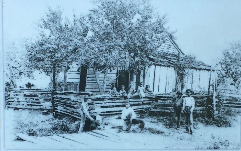
3. African Americans at Cemetery Community
In an effort to find safety and a sense of belonging, many African Americans in the South established self-sufficient communities after the war. Among the communities established in Middle Tennessee were "Mount Africa" in Maury County. "Hard Bargain" in Franklin, and "Cemetery" in Rutherford County.
Photographed By Brandon Stahl
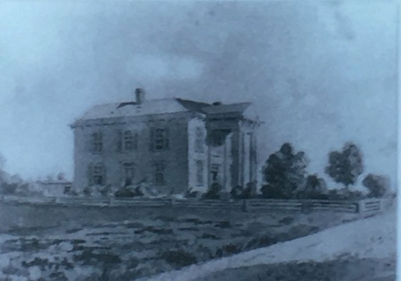
4. Lotz House Circa 1866
To this day, several homes and buildings in Franklin bear scars from the Civil War, including the Lotz House on Columbia Pike. Although Johann Albert Lotz was a master carpenter, he lacked the means and materials to fully repair his home. Four years after the war was over, economic hardship and social unrest compelled him to move his family to California, never to return.
Photographed By Brandon Stahl
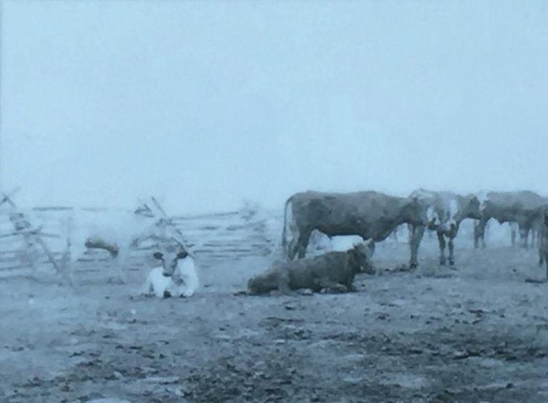
5. Cattle in Virginia
The was also costly to animals - a vital part of Tennessee's largely agrarian society. Across the state, there were fifteen percent fewer horses in 1870 than in 1860. Nearly a fifth of all mules had disappeared, and more than a third of all oxen had been lost.
Credits. This page was last revised on December 27, 2021. It was originally submitted on May 17, 2017, by Brandon Stahl of Fairfax, Virginia. This page has been viewed 297 times since then and 15 times this year. Last updated on December 27, 2021, by Bradley Owen of Morgantown, West Virginia. Photos: 1, 2, 3, 4, 5, 6. submitted on May 17, 2017, by Brandon Stahl of Fairfax, Virginia. • Bernard Fisher was the editor who published this page.
