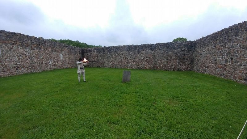
Big Pool in Washington County, Maryland — The American Northeast (Mid-Atlantic)
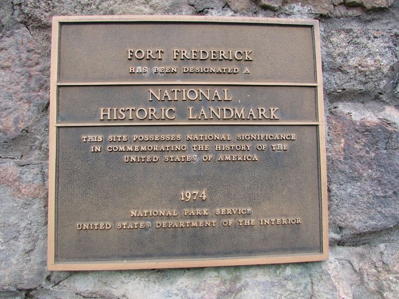
Fort Frederick
has been designated a
National
Historic Landmark
This site possesses national significance
in commemorating the history of the
United States of America
1974
National Park Service
United States Department of the Interior
Erected 1974 by National Park Service.
Topics and series. This historical marker is listed in these topic lists: Forts and Castles • War, French and Indian • War, US Revolutionary. In addition, it is included in the National Historic Landmarks series list.
Location. 39° 36.597′ N, 78° 0.21′ W. Marker is in Big Pool, Maryland, in Washington County. Marker is on Fort Frederick Road, on the left when traveling south. Marker is located in Fort Frederick State Park. Touch for map. Marker is in this post office area: Big Pool MD 21711, United States of America. Touch for directions.
Other nearby markers. At least 8 other markers are within walking distance of this marker. Fort Frederick Officers’ Quarters (within shouting distance of this marker); Nathan Williams (about 400 feet away, measured in a direct line); a different marker also named Fort Frederick (about 400 feet away); “...a place of Arms...would be absolutely neccessary” (approx. ¼ mile away); "Old Fort Frederick" (approx. ¼ mile away); “...to protect, preserve...and provide access thereto for the public.” (approx. ¼ mile away); Western Maryland (approx. 0.3 miles away); The National Road (approx. 0.3 miles away). Touch for a list and map of all markers in Big Pool.
Also see . . . Col. Washington's Frontier Forts. Fort Frederick State Park. (Submitted on May 27, 2017, by Bill Coughlin of Woodland Park, New Jersey.)
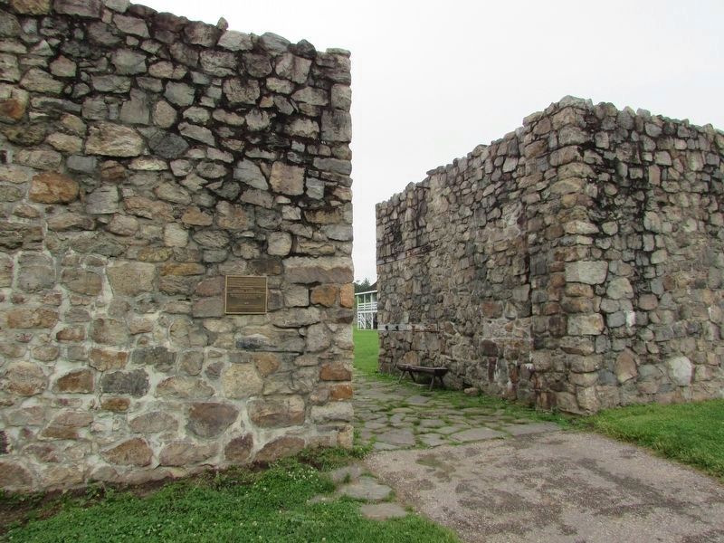
Photographed By Bill Coughlin, May 27, 2017
2. Fort Frederick Marker
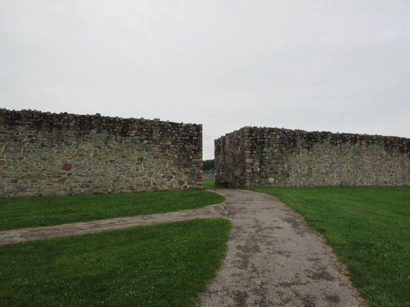
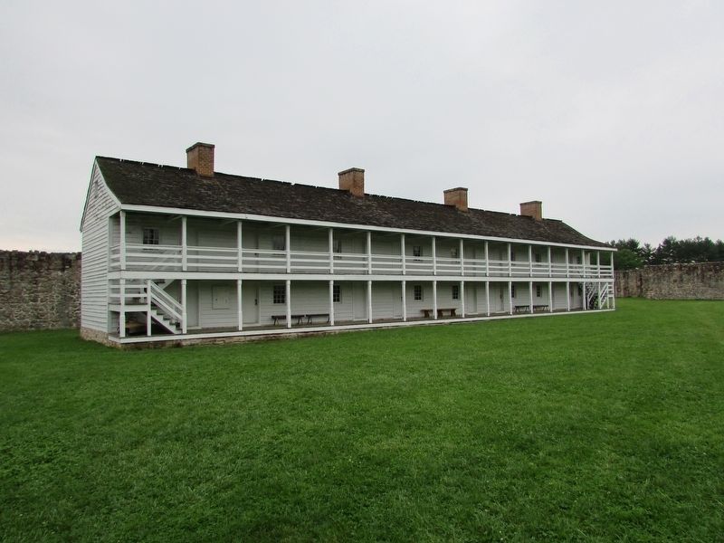
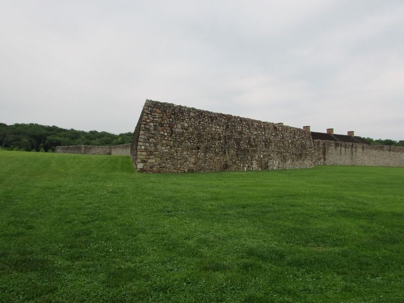
Built in 1756 by the colony of Maryland during the French and Indian War, Fort Frederick served as a supply base. During the Revolutionary War, the fort confined hundreds of British prisoners captured during the battles of Saratoga and Yorktown.
Credits. This page was last revised on January 23, 2020. It was originally submitted on May 27, 2017, by Bill Coughlin of Woodland Park, New Jersey. This page has been viewed 366 times since then and 12 times this year. Photos: 1, 2, 3, 4, 5. submitted on May 27, 2017, by Bill Coughlin of Woodland Park, New Jersey. 6. submitted on May 29, 2017, by Michael C. Wilcox of Winston-Salem, North Carolina.
