Almonte in Lanark County, Ontario — Central Canada (North America)
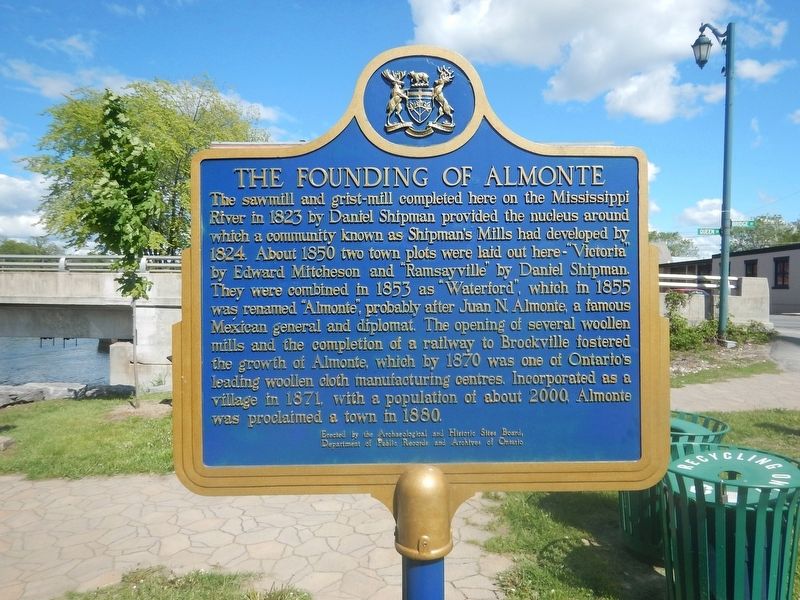
The Founding of Almonte
The sawmill and grist-mill completed here on the Mississippi River in 1823 by Daniel Shipman provided the nucleus around which a community known as Shipman's Mills had developed by 1824. About 1850 two town plots were laid out here - "Victoria" by Edward Mitcheson and "Ramsayville" by Daniel Shipman. They were combined in 1853 as "Waterford", which in 1855 was renamed "Almonte", probably after Juan N. Almonte, a famous Mexican general and diplomat. The opening of several woollen mills and the completion of a railway by Brockville fostered the growth of Almonte, which by 1870 was one of Ontario's leading woollen cloth manufacturing centres. Incorporated as a village in 1871, with a population of about 2000, Almonte was proclaimed a town in 1880.
Erected by Archaeological and Historic Sites Board of Ontario.
Topics. This historical marker is listed in these topic lists: Industry & Commerce • Railroads & Streetcars • Settlements & Settlers. A significant historical year for this entry is 1823.
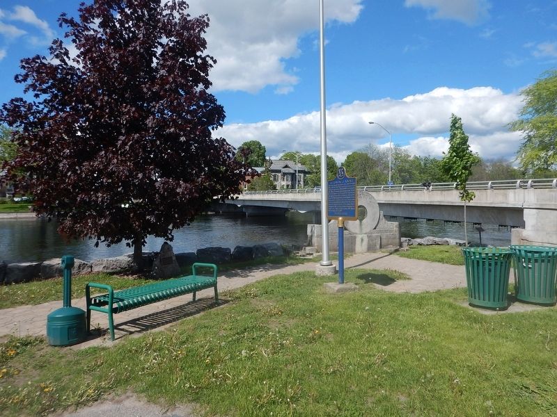
Location. 45° 13.582′ N, 76° 11.645′ W. Marker is in Almonte, Ontario, in Lanark County. Marker is at the intersection of Bridge Street (County Highway 16A) and Water Street, on the right when traveling south on Bridge Street. Marker is located on the "Riverwalk" pedestrian path along the river. Touch for map. Marker is at or near this postal address: 14 Bridge Street, Almonte ON K0A 1A0, Canada. Touch for directions.
Other nearby markers. At least 8 other markers are within 11 kilometers of this marker, measured as the crow flies. Former Almonte Post Office (about 120 meters away, measured in a direct line); Mississippi River Improvement Company (about 210 meters away); The Rosamonds in Almonte (approx. 0.3 kilometers away); "Auld Kirk" 1836 (approx. 2.5 kilometers away); Dr. James Naismith (approx. 3.4 kilometers away); Robert Tait McKenzie (approx. 5.1 kilometers away); The Mill of Kintail and Robert Tait McKenzie (approx. 5.1 kilometers away); A. Roy Brown Memorial (approx. 10.2 kilometers away). Touch for a list and map of all markers in Almonte.
Credits. This page was last revised on June 1, 2017. It was originally submitted on June 1, 2017, by Kevin Craft of Bedford, Quebec. This page has been viewed 525 times since then and 24 times this year. Photos: 1, 2. submitted on June 1, 2017, by Kevin Craft of Bedford, Quebec.

