Towanda in Butler County, Kansas — The American Midwest (Upper Plains)
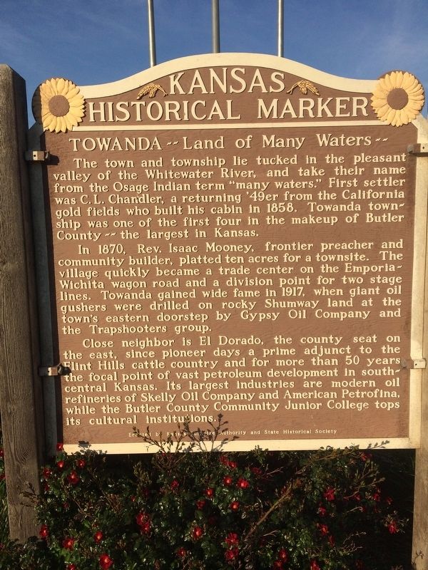
Towanda
Land of Many Waters
In 1870, Rev. Isaac Mooney, frontier preacher and community builder, platted ten acres for a townsite. The village quickly became a trade center on the Emporia-Wichita wagon road and a division point for two stage lines. Towanda gained wide fame in 1917, when giant oil gushers were drilled on rocky Shumway land at the town's eastern doorstep by Gypsy Oil Company and the Trapshooters group.
Close neighbor is El Dorado, the county seat on the east, since pioneer days a prime adjunct to the Flint Hills cattle country and for more than 50 years the focal point of vast petroleum development in south-central Kansas. Its largest industries are modern oil refineries of Skelly Oil Company and American Petrofina, while Butler County Community Junior College tops its cultural institutions.
Erected by Kansas Turnpike Authority and State Historical Society. (Marker Number 119.)
Topics and series. This historical marker is listed in these topic lists: Education • Industry & Commerce • Settlements & Settlers. In addition, it is included in the Kansas Historical Society series list. A significant historical year for this entry is 1858.
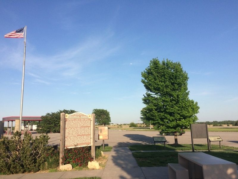
Location. 37° 45.942′ N, 96° 58.958′ W. Marker is in Towanda, Kansas, in Butler County. Marker is on Interstate 35 at milepost 65. The marker is in the Kansas Turnpike's Towanda Service Area. Touch for map. Marker is in this post office area: Towanda KS 67144, United States of America. Touch for directions.
Other nearby markers. At least 8 other markers are within 9 miles of this marker, measured as the crow flies. C.N. James Trading Post (approx. 6.4 miles away); Replica of the Statue of Liberty (approx. 8 miles away); Celebration of Freedom Memorial (approx. 8 miles away); Veterans Memorial Flagpole (approx. 8 miles away); Signers of the Declaration of Independence (approx. 8 miles away); William Allen White (approx. 8.1 miles away); Missouri Pacific Depot Veterans Memorial (approx. 8.3 miles away); The Gypsy Spudder (approx. 8.3 miles away).
Credits. This page was last revised on June 2, 2017. It was originally submitted on June 2, 2017, by William J. Toman of Green Lake, Wisconsin. This page has been viewed 373 times since then and 33 times this year. Photos: 1, 2. submitted on June 2, 2017, by William J. Toman of Green Lake, Wisconsin.

