East Atlanta in DeKalb County, Georgia — The American South (South Atlantic)
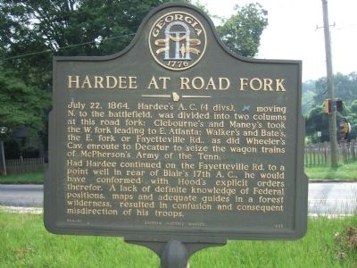
Hardee at Road Fork
Had Hardee continued on the Fayetteville Rd. to a point well in rear of Blair’s 17th A.C., he would have conformed with Hood’s explicit orders therefor. A lack of definite knowledge of Federal positions, maps and adequate guides in a forest wilderness, resulted in confusion and consequent misdirection of his troops.
Erected 1985 by Georgia Historic Marker. (Marker Number 044-56.)
Topics and series. This historical marker is listed in this topic list: War, US Civil. In addition, it is included in the Georgia Historical Society series list. A significant historical date for this entry is July 22, 1864.
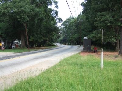
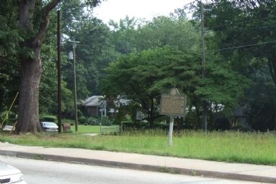
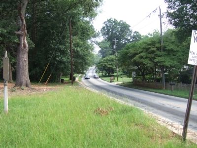
Location. 33° 43.169′ N, 84° 19.804′ W. Marker is near Atlanta, Georgia, in DeKalb County. It is in East Atlanta. Marker is at the intersection of Fayetteville Road and Bouldercrest Road, in the median on Fayetteville Road. Touch for map. Marker is in this post office area: Atlanta GA 30316, United States of America. Touch for directions.
Other nearby markers. At least 8 other markers are within 2 miles of this marker, measured as the crow flies. Walker & Bate At Sugar Cr. (approx. 0.8 miles away); Cleburne's & Maney's Divs. (approx. 1.2 miles away); Hardee at Wm. Cobb’s House (approx. 1.2 miles away); Site: Cobb’s Mill (approx. 1.2 miles away); Terry's Mill Pond (approx. 1.4 miles away); Bate's Div. at Terry's Mill Pond (approx. 1.4 miles away); Death of General Walker (approx. 1.4 miles away); Maney's Div. in the Battle of Atlanta (approx. 1.6 miles away). Touch for a list and map of all markers in Atlanta.
Credits. This page was last revised on February 8, 2023. It was originally submitted on August 18, 2008, by Felch Dumas of Decatur, Georgia. This page has been viewed 1,266 times since then and 35 times this year. Last updated on April 4, 2021, by Carl Gordon Moore Jr. of North East, Maryland. Photos: 1, 2, 3, 4. submitted on August 18, 2008, by Felch Dumas of Decatur, Georgia. • Bernard Fisher was the editor who published this page.


