Kyles Ford in Hancock County, Tennessee — The American South (East South Central)
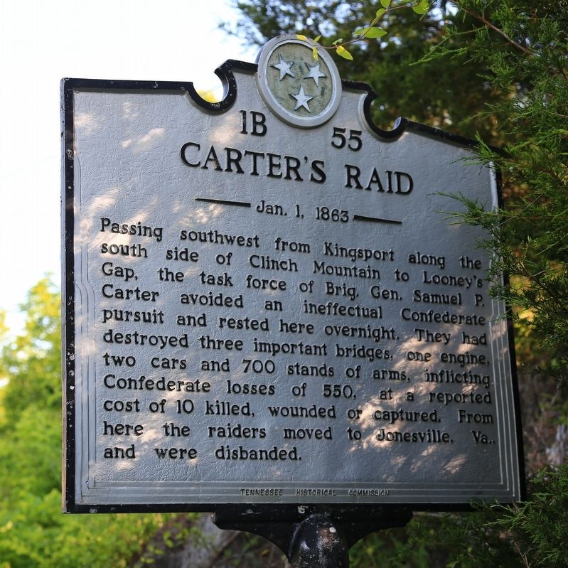
Carterís Raid
ó Jan. 1, 1863 ó
Erected by Tennessee Historical Commission. (Marker Number 1B 55.)
Topics and series. This historical marker is listed in this topic list: War, US Civil. In addition, it is included in the Tennessee Historical Commission series list. A significant historical date for this entry is January 1, 1863.
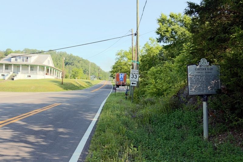
Location. 36° 34.254′ N, 83° 2.59′ W. Marker is in Kyles Ford, Tennessee, in Hancock County. Marker is at the intersection of Trail of the Lonesome Pine (Tennessee Route 70) and Kyles Ford Highway (Tennessee Route 33), on the right when traveling north on Trail of the Lonesome Pine. Touch for map. Marker is in this post office area: Kyles Ford TN 37765, United States of America. Touch for directions.
Other nearby markers. At least 8 other markers are within 10 miles of this marker, measured as the crow flies. Lee County Virginia / Tennessee (approx. 2.2 miles away in Virginia); The Hickory Cove (approx. 8.3 miles away); Jonesville (approx. 9.1 miles away in Virginia); Doctor Stillís Birthplace (approx. 9.1 miles away in Virginia); a different marker also named Doctor Stillís Birthplace (approx. 9.2 miles away in Virginia); Jonesville Methodist Camp Ground (approx. 9Ĺ miles away in Virginia); Thomas Gibbons (approx. 9.6 miles away); Thompson Settlement Church (approx. 9.9 miles away in Virginia).
Credits. This page was last revised on April 1, 2020. It was originally submitted on June 12, 2017, by J. J. Prats of Powell, Ohio. This page has been viewed 644 times since then and 45 times this year. Photos: 1, 2, 3. submitted on June 12, 2017, by J. J. Prats of Powell, Ohio.


