Middlesex Township near Carlisle in Cumberland County, Pennsylvania — The American Northeast (Mid-Atlantic)
The Ia Drang Battlefield
Ant Hills and Creek Beds
The Ia Drang battlefield was dotted with large dirt art hills of varying sizes. They were generally very hard, baked earth and were home to ants and termites. These features made good defensive positions and LTC Moore used one as the site of his battlefield command post during the fighting at LZ X-Ray.
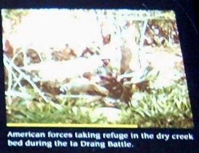
Another feature that played a pivotal role in the battle was a dry creek bed that wound through the battlefield. It served as a defensive position for the American forces and as an avenue of approach for the North Vietnamese troops attempting to penetrate the American positions.
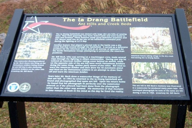
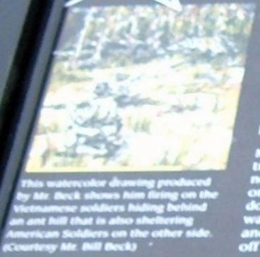
Mr. Bill Beck, who was serving on a machinegun crew, made several trips through the fighting to obtain ammunition. During one trip he noticed an American Soldier taking cover behind an anthill, while on the opposite side were North Vietnamese Soldiers doing the same thing, neither party aware of the other. Bill tried to warn the American Soldier and then drew his 45 automatic pistol and fired on the Vietnamese soldiers in an attempt to draw them off and warn the American soldier.
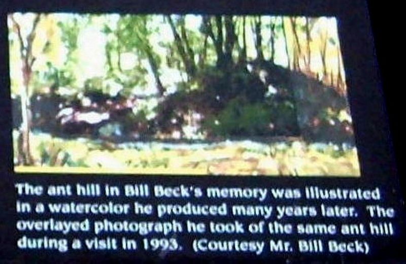
Years later Mr. Beck drew a watercolor image of his memory of that ant hill. In 1993 he returned to the Ia Drang battlefield and found and photographed that same ant hill. upon his return home he found that his photograph fit perfectly over the watercolor artwork as if the artwork had been done from the photograph rather than the other way around. His memories of that moment in time remain as fresh in his mind as the day he lived the reality.
Erected by The United States Army War College; United States Army Heritage and Education Center.
Topics. This historical marker is listed in this topic list: War, Vietnam. A significant historical year for this entry is 1993.
Location. This marker has been replaced by another marker nearby. It was located near 40° 12.3′ N, 77° 9.452′ W. Marker was near Carlisle, Pennsylvania, in Cumberland County. It was in Middlesex Township. Marker could be reached from Army Heritage Drive. Located at the U.S. Army Heritage and Education Center (Open to Public). Touch for map. Marker was in this post office area: Carlisle PA 17013, United States of America. Touch for directions.
Other nearby markers. At least 8 other markers are within walking distance of this location. Colonel Joseph D. Newsome (here, next to this marker); The Battle of the Ia Drang Valley (here, next to this marker); Bill Beck and Russell Adams (here, next to this marker); Final Act – LZ Albany (a few steps from this marker); Duty (a few steps from this marker); Colonel Vincent J. Tedesco, Jr. (within shouting distance of this marker); a different marker also named The Ia Drang Battlefield (within shouting distance of this marker); The Capture of Redoubt #10 (within shouting distance of this marker). Touch for a list and map of all markers in Carlisle.
More about this marker. Part of the Vietnam Fire Support Base exhibit
Related marker. Click here for another marker that is related to this marker. This marker has been replaced with the linked marker.
Also see . . . Battle of Ia Drang. Wikipedia entry. (Submitted on April 15, 2020, by Larry Gertner of New York, New York.)
Credits. This page was last revised on March 1, 2023. It was originally submitted on June 13, 2017, by Larry Gertner of New York, New York. This page has been viewed 507 times since then and 54 times this year. Photos: 1, 2, 3, 4. submitted on June 13, 2017, by Larry Gertner of New York, New York. • Bill Pfingsten was the editor who published this page.
Editor’s want-list for this marker. = • Can you help?


