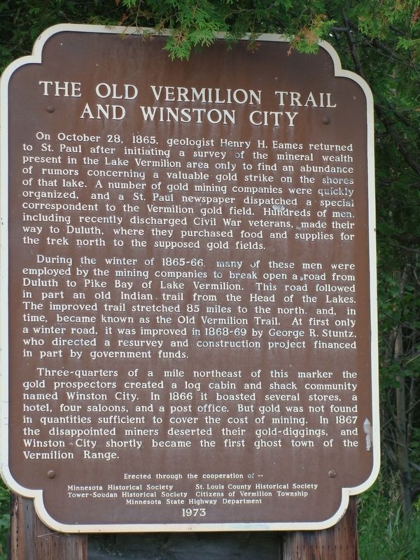
The Old Vermilion Trail and Winston City
During the winter of 1865-66, many of these men were employed by the mining co. to break open a road from Duluth to Pike Bay of Lake Vermilion. This road followed in part an old Indian trail from the Head of the Lakes. The improved trail stretched 85 miles to the north and in time, became known as the Old Vermilion Trail. At first only a winter road, it was improved in 1868-69 by George R. Stuntz who directed a resurvey and construction project financed in part by government funds.
Three quarters of a mile NE of this marker the gold prospectors created a log cabin and shack community named Winston City. In 1866 it boasted several stores, a hotel, four saloons and a post office. But gold was not found in quantities sufficient to cover the cost of mining. In 1867
the disappointed miners deserted their gold diggings and Winston City shortly became the first ghost town of the Vermilion Range.Erected 1973 by Minnesota, St. Louis County and Tower-Soudan Historical Societies along with the citizens of Vermilion township and the Minnesota State Highway Department.
Topics. This historical marker is listed in these topic lists: Industry & Commerce • Railroads & Streetcars • Settlements & Settlers. A significant historical date for this entry is October 28, 1865.
Location. 47° 47.233′ N, 92° 21.567′ W. Marker is in Tower, Minnesota, in Saint Louis County. Marker is at the intersection of County Road 526, off of Minnesota 169 (State Highway 169), on the right when traveling west on County Road 526, off of Minnesota 169. Touch for map. Marker is in this post office area: Tower MN 55790, United States of America. Touch for directions.
Other nearby markers. At least 8 other markers are within 12 miles of this marker, measured as the crow flies. Tower Train Museum (approx. 3.9 miles away); Welcome to DM&IR Engine # 1218 (approx. 3.9 miles away); Tower (approx. 3.9 miles away); Old Fire Hall (approx. 4.1 miles away); The Soudan Mine (approx. 5.9 miles away); Hanka Homestead (approx. 9.9 miles away); Apostolic Lutheran Church (approx. 10.9 miles away); Alma Norha Playhouse (approx. 11˝ miles away). Touch for a list and map of all markers in Tower.
Credits. This page was last revised on June 16, 2017. It was originally submitted on June 15, 2017, by Cameron Miller of Mankato, Minnesota. This page has been viewed 625 times since then and 123 times this year. Photo 1. submitted on June 15, 2017, by Cameron Miller of Mankato, Minnesota. • Bill Pfingsten was the editor who published this page.
