Downtown in Louisville in Jefferson County, Kentucky — The American South (East South Central)
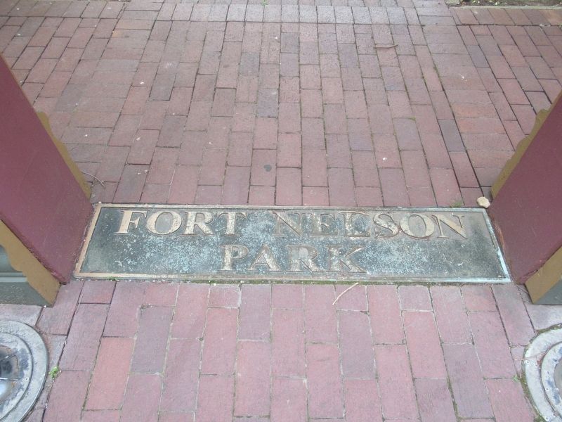
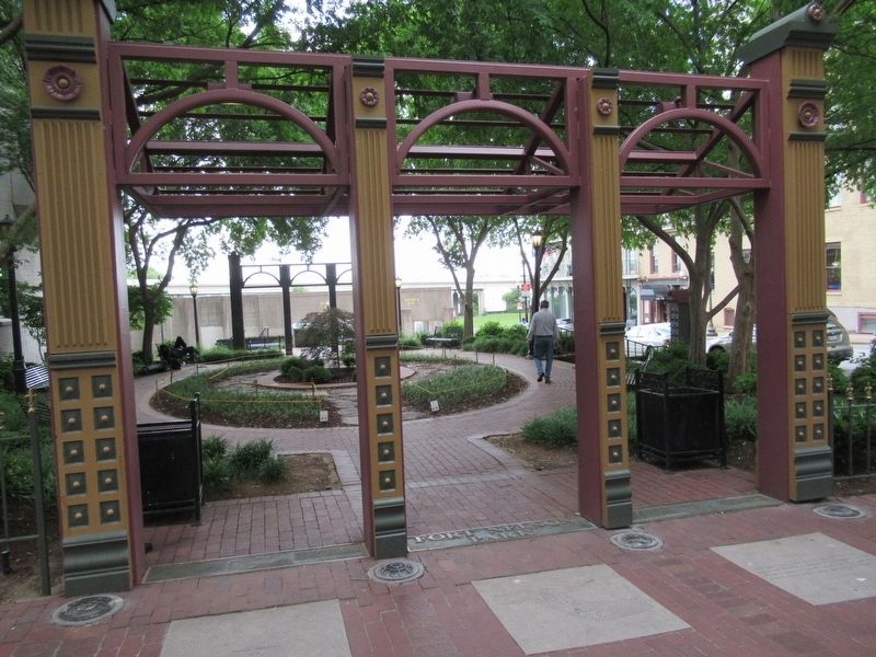
Fort Nelson Park
( left plaque )
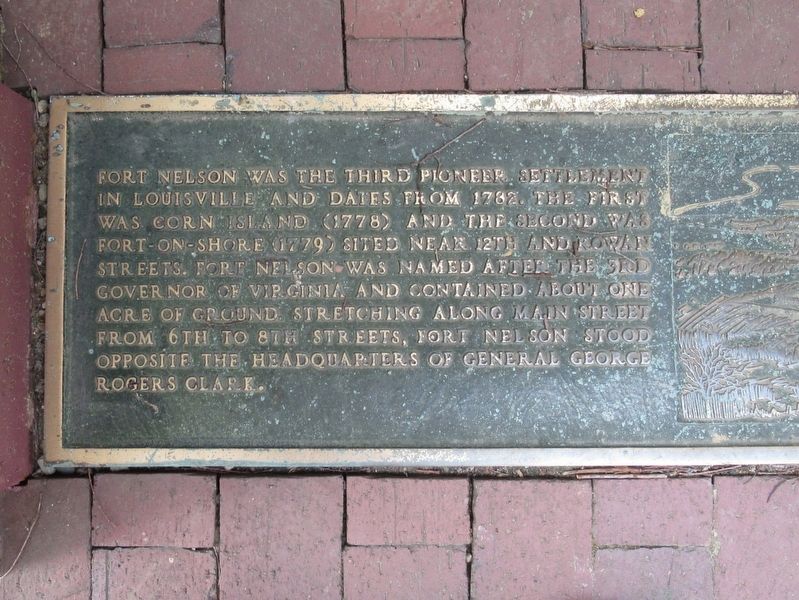
Fort Nelson was the third pioneer settlement in Louisville and dates from 1782. The first was Corn Island (1778) and the second was Fort-On-Shore (1779) sited near 12th and Rowan Streets. Fort Nelson was named after the 3rd govenor of Virginia and cotained about one acre of ground stretching along Main Street from 6th to 8th Streets, Fort Nelson stood opposite the headquarters of General George Rogers Clark.
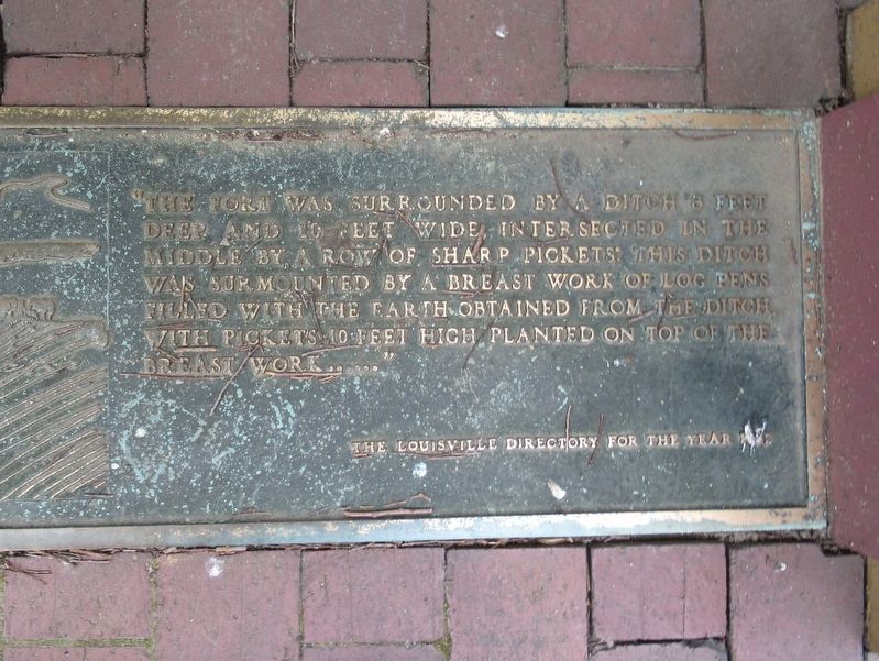
“The fort was surrounded by a ditch 8 feet deep and 10 feet wide, intersected in the middle by a row of sharp pickets. This ditch was surmounted by a breast work of log pens filled with the earth obtained from the ditch, with pickets 10 feet high planted on top of the breast work …..” The Louisville Directory for the Year 1932
( right plaque )
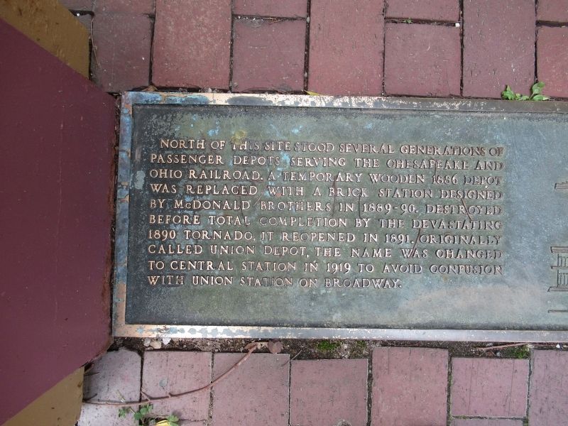
North of this site stood several generations of passenger depots serving the Chesapeake and Ohio Railroad. A temporary wooden 1886 depot was replaced with a brick station designed by McDonald Brothers in 1889-90. Destroyed before total completion by the devastating 1890 tornado, it reopened in 1891. Originally called Union Depot, the name was changed to Central Station in 1919 to avoid confusion with Union Station on Broadway.
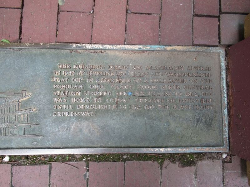
The building’s design was drastically altered in 1943 by leveling off its top and was nicknames “flat top” in reference to a character in the popular Dick Tracy comic strip. The station stopped serving trains in 1962, but was home to Actor’s Theater of Louisville until demolished in 1968 for the Riverfront Expressway.
Topics. This historical marker is listed in these topic lists: Colonial Era • Forts and Castles • Railroads & Streetcars.
Location. 38° 15.438′ N, 85° 45.699′ W. Marker is in Louisville, Kentucky, in Jefferson County. It is in Downtown. Marker is at the intersection of W Main Street and N 7th Street, on the right when traveling west on W Main Street. Touch for map. Marker is at or near this postal address: 705 W Main Street, Louisville KY 40201, United States of America. Touch for directions.
Other nearby markers. At least 8 other markers are within walking distance of this marker. The Stockade On Corn Island, 1778 (within shouting distance of this marker); Evan Williams (about 600 feet away, measured in a direct line); Bridgeford, Ricketts & Company (about 700 feet away); 125 South Sixth Street (about 700 feet away); Evan Williams Bourbon Experience (about 700 feet away); J. Monks (about 700 feet away); The 32nd Indiana Infantry Monument (approx. 0.2 miles away); D.X. Murphy & Bro., Architects (approx. 0.2 miles away). Touch for a list and map of all markers in Louisville.
Also see . . .
Fort Nelson (Kentucky) on Wikipedia. (Submitted on June 16, 2017, by Michael Herrick of Southbury, Connecticut.)
Credits. This page was last revised on February 12, 2023. It was originally submitted on June 16, 2017, by Michael Herrick of Southbury, Connecticut. This page has been viewed 624 times since then and 79 times this year. Photos: 1, 2, 3, 4, 5, 6. submitted on June 16, 2017, by Michael Herrick of Southbury, Connecticut.
