Clifton in Louisville in Jefferson County, Kentucky — The American South (East South Central)
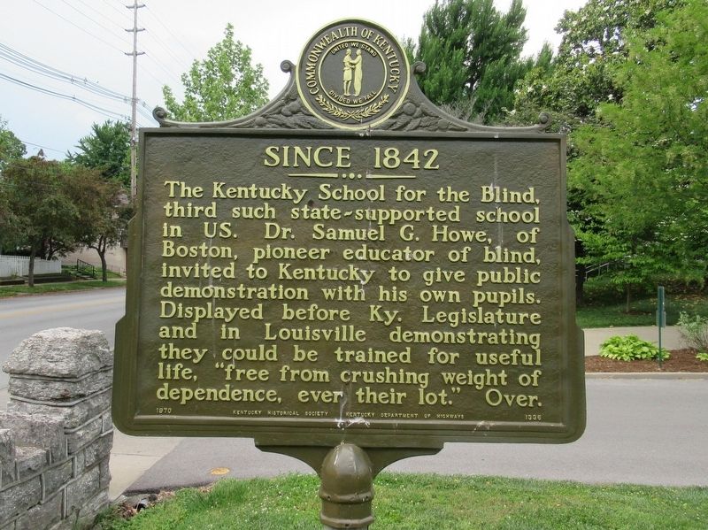
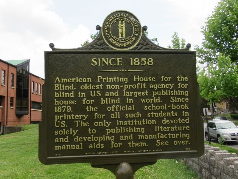
Since 1842 / Since 1858
— The Kentucky School for the Blind —
( back )
Erected 1970 by Kentucky Historical Society · Kentucky Department of Highways. (Marker Number 1336.)
Topics and series. This historical marker is listed in these topic lists: Education • Notable Places. In addition, it is included in the Kentucky Historical Society series list. A significant historical year for this entry is 1842.
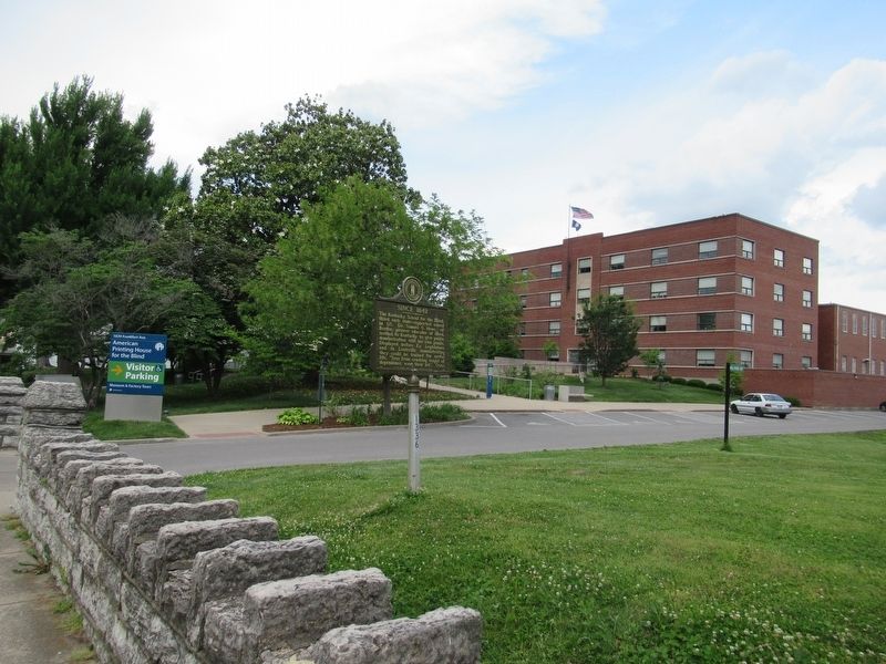
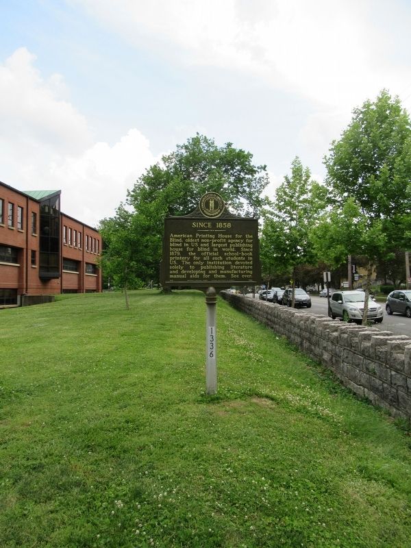
Location. 38° 15.372′ N, 85° 42.865′ W. Marker is in Louisville, Kentucky, in Jefferson County. It is in Clifton. Marker is at the intersection of Frankfort Avenue and Stoll Avenue, on the right when traveling west on Frankfort Avenue. Located in front of the Kentucky School For The Blind. Touch for map. Marker is in this post office area: Louisville KY 40206, United States of America. Touch for directions.
Other nearby markers. At least 8 other markers are within walking distance of this marker. Kentucky School for the Blind (about 300 feet away, measured in a direct line); Col. Frederick Geiger / Early Butchertown (approx. 0.4 miles away); St. Frances of Rome School / Sisters of Charity of Nazareth (approx. half a mile away); St. Frances of Rome Church / Catholic & Clifton History (approx. half a mile away); A National Cemetery System (approx. 0.6 miles away); Cave Hill National Cemetery (approx. 0.6 miles away); Augustus E. Willson (1846-1931) (approx. 0.6 miles away); Nathaniel Wolfe (approx. 0.6 miles away). Touch for a list and map of all markers in Louisville.
Also see . . .
1. Kentucky School for the Blind. (Submitted on June 16, 2017, by Michael Herrick of Southbury, Connecticut.)
2. Kentucky School for the Blind on Wikipedia. (Submitted on June 16, 2017, by Michael Herrick of Southbury, Connecticut.)
Credits. This page was last revised on February 12, 2023. It was originally submitted on June 16, 2017, by Michael Herrick of Southbury, Connecticut. This page has been viewed 236 times since then and 11 times this year. Photos: 1, 2, 3, 4. submitted on June 16, 2017, by Michael Herrick of Southbury, Connecticut.


