Near Earth in Lamb County, Texas — The American South (West South Central)
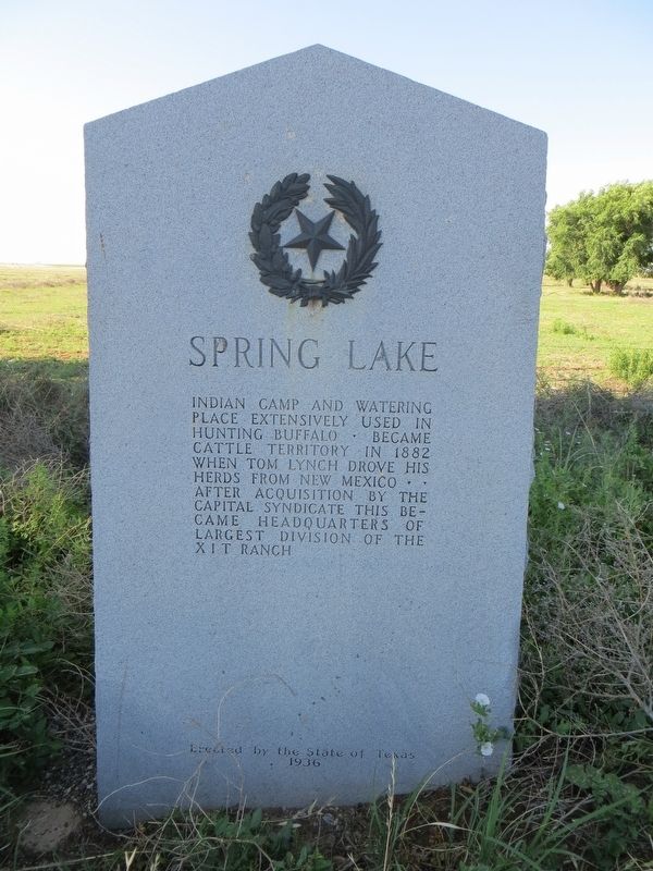
Spring Lake
After acquisition by the Capitol Syndicate this became headquarters of largest division of the XIT Ranch.
Erected 1936 by State of Texas. (Marker Number 5018.)
Topics and series. This historical marker is listed in these topic lists: Agriculture • Animals. In addition, it is included in the Texas 1936 Centennial Markers and Monuments series list. A significant historical year for this entry is 1882.
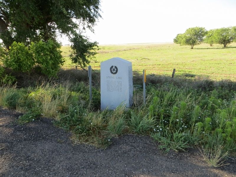
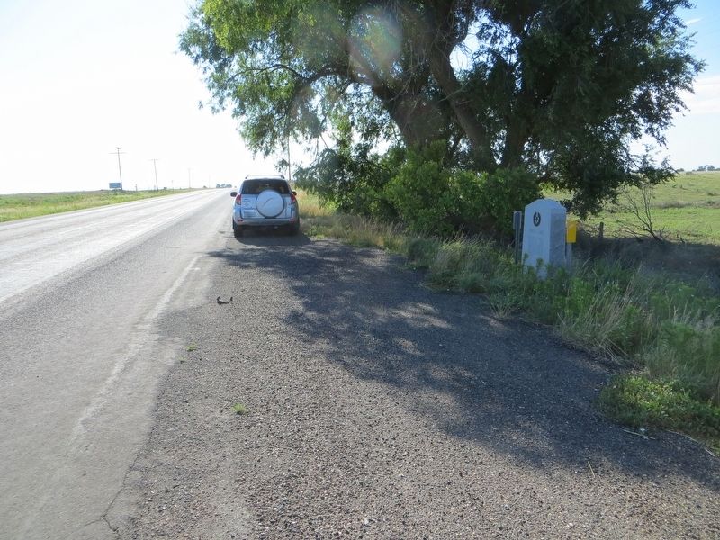
Location. 34° 14.033′ N, 102° 29.973′ W. Marker is near Earth, Texas, in Lamb County. Marker is on U.S. 70, 0.1 miles west of County Highway 99, on the left when traveling west. Touch for map. Marker is in this post office area: Earth TX 79031, United States of America. Touch for directions.
Other nearby markers. At least 8 other markers are within 12 miles of this marker, measured as the crow flies. First Irrigation Well in Lamb County (approx. 0.3 miles away); Quanah Parker Trail (approx. 5.1 miles away); Earth (approx. 5.2 miles away); Springlake-Earth School (approx. 8.3 miles away); Springlake Cemetery (approx. 9.7 miles away); Big Square Community (approx. 10˝ miles away); Sod House Spring (approx. 10˝ miles away); The J. W. Carter Family and the 7-Up Ranch (approx. 11˝ miles away). Touch for a list and map of all markers in Earth.
Credits. This page was last revised on June 16, 2017. It was originally submitted on June 16, 2017, by Bill Kirchner of Tucson, Arizona. This page has been viewed 482 times since then and 24 times this year. Photos: 1, 2, 3. submitted on June 16, 2017, by Bill Kirchner of Tucson, Arizona.


