Darien in McIntosh County, Georgia — The American South (South Atlantic)
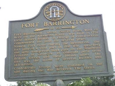
Fort Barrington
»— 12 mi. →
Fort Barrington, about twelve miles West of here on the Altamaha River, was built in 1751. Lieut. Robert Baillie, in charge of construction, commanded the post for several years.
Named Fort Howe during the Revolution, the fort played a vital part in that War, guarding the most dangerous land pass on the Southern Frontier of Georgia. In constant peril from British forces and their Indian allies, the fort was the scene of several battles and skirmishes.
Confederate troops were stationed on the site during the War Between The States.
Erected 1957 by Georgia Historical Commission. (Marker Number 095-14.)
Topics and series. This historical marker is listed in these topic lists: Forts and Castles • War, US Revolutionary. In addition, it is included in the Georgia Historical Society series list. A significant historical year for this entry is 1751.
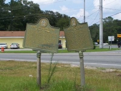
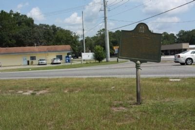
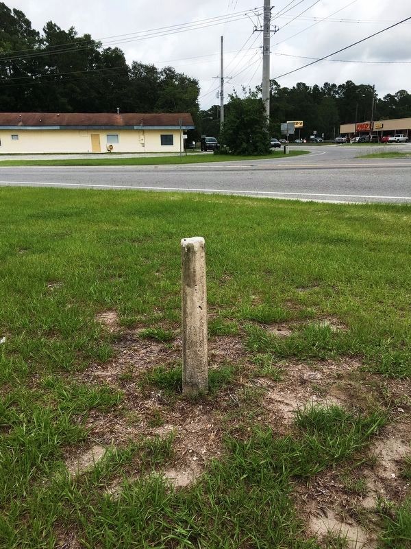
Location. Marker has been reported missing. It was located near 31° 23.171′ N, 81° 26.021′ W. Marker was in Darien, Georgia, in McIntosh County. Marker was at the intersection of Ga 251 and US 17 (Ga 25 ), on the right when traveling east on Ga 251. Touch for map. Marker was in this post office area: Darien GA 31305, United States of America. Touch for directions.
Other nearby markers. At least 8 other markers are within 2 miles of this location , measured as the crow flies. Darien Presbyterian Church (approx. one mile away); Darien's Railroad and Depot (approx. one mile away); Columbus Square (approx. 1.1 miles away); St. Andrew's Cemetery (approx. 1.1 miles away); New Inverness (approx. 1.1 miles away); The Oglethorpe Oak (approx. 1.1 miles away); Ashantilly (approx. 1.1 miles away); McIntosh County (approx. 1.1 miles away). Touch for a list and map of all markers in Darien.
Regarding Fort Barrington. Today, time has claimed the wooden fort, and the river has eroded half the earthworks. A hunting club owns the remaining earthworks, and unfortunately a private boat ramp runs down the middle of the fort. Nearby, Barrington County Park is open to the general public for boat launches, tent or RV camping, or a quiet picnic.
The historic fort is on private property that is popular with hunters. Please respect their property rights and avoid the area during hunting season
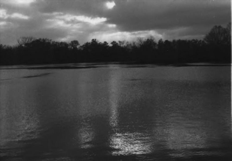
via NPS, unknown
2. Fort Barrington
National Register of Historic Places Digital Archive on NPGallery website entry
Click for more information.
Click for more information.
Credits. This page was last revised on March 31, 2022. It was originally submitted on October 22, 2008, by Mike Stroud of Bluffton, South Carolina. This page has been viewed 2,238 times since then and 34 times this year. Last updated on June 19, 2017, by Brandon D Cross of Flagler Beach, Florida. Photos: 1. submitted on October 22, 2008, by Mike Stroud of Bluffton, South Carolina. 2. submitted on March 31, 2022, by Larry Gertner of New York, New York. 3. submitted on October 22, 2008, by Mike Stroud of Bluffton, South Carolina. 4. submitted on August 18, 2011, by Mike Stroud of Bluffton, South Carolina. 5. submitted on June 19, 2017, by Brandon D Cross of Flagler Beach, Florida. • Kevin W. was the editor who published this page.
