Blakeslee in Monroe County, Pennsylvania — The American Northeast (Mid-Atlantic)
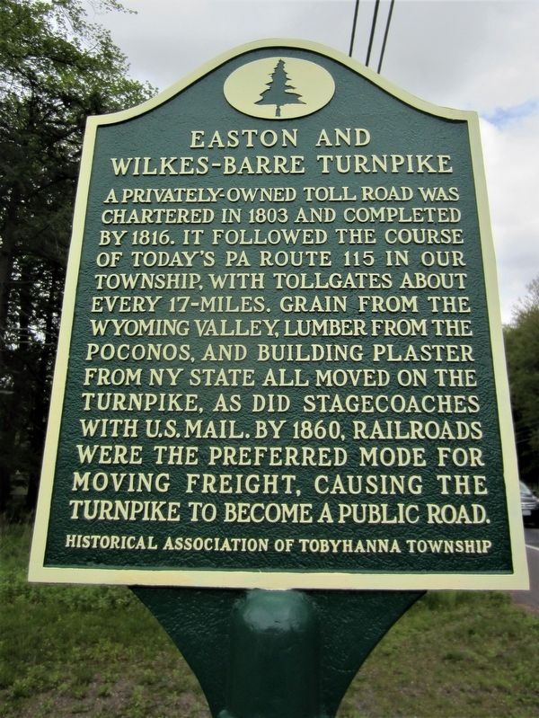
Easton and Wilkes-Barre Turnpike
Erected 2017 by Historical Association of Tobyhanna Township.
Topics and series. This historical marker is listed in this topic list: Roads & Vehicles. In addition, it is included in the Pennsylvania History Tour, Tobyhanna Township series list.
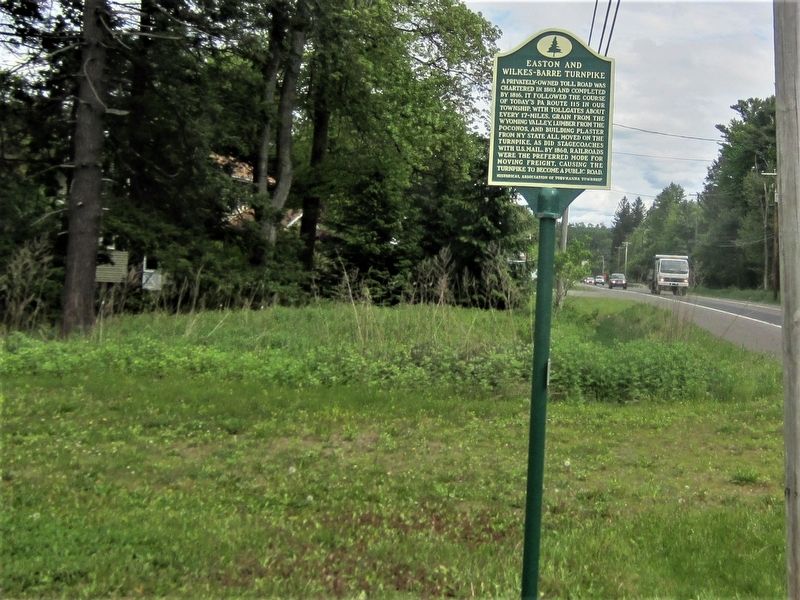
Location. 41° 5.394′ N, 75° 35.361′ W. Marker is in Blakeslee, Pennsylvania, in Monroe County. Marker is on PA Route 115 (Pennsylvania Route 115) half a mile south of PA Route 940 (Pennsylvania Route 940), on the left when traveling south. Next to carwash. Touch for map. Marker is at or near this postal address: 5636 PA Route 115, Blakeslee PA 18610, United States of America. Touch for directions.
Other nearby markers. At least 8 other markers are within 4 miles of this marker, measured as the crow flies. Blakeslee Community Center (approx. 0.3 miles away); Blakeslee United Methodist Church (approx. 0.4 miles away); The First Schoolhouse (approx. half a mile away); Harrison Amusement Park (approx. half a mile away); Agriculture (approx. ¾ mile away); Jacob Blakeslee, Jr. (approx. 1.6 miles away); The Great Swamp (approx. 1.8 miles away); Locust Ridge School (approx. 3.3 miles away). Touch for a list and map of all markers in Blakeslee.
Also see . . . Easton and Wilkes-Barre Dedication Site. (Submitted on June 20, 2017, by Rick Bodenschatz of Pocono Pines, Pennsylvania.)
Credits. This page was last revised on July 29, 2017. It was originally submitted on June 20, 2017, by Rick Bodenschatz of Pocono Pines, Pennsylvania. This page has been viewed 592 times since then and 49 times this year. Photos: 1, 2. submitted on June 20, 2017, by Rick Bodenschatz of Pocono Pines, Pennsylvania. • Bill Pfingsten was the editor who published this page.

