Tobyhanna Township near Pocono Summit in Monroe County, Pennsylvania — The American Northeast (Mid-Atlantic)
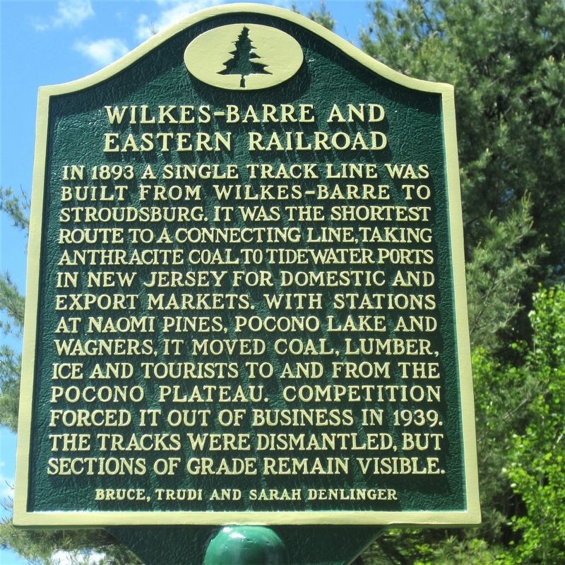
Wilkes-Barre and Eastern Railroad
Erected by Bruce, Trudi and Sarah Denlinger.
Topics and series. This historical marker is listed in these topic lists: Industry & Commerce • Railroads & Streetcars. In addition, it is included in the Pennsylvania History Tour, Tobyhanna Township series list. A significant historical year for this entry is 1893.
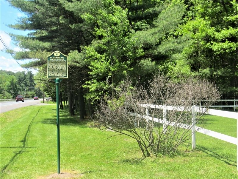
Location. 41° 6.499′ N, 75° 26.983′ W. Marker is near Pocono Summit, Pennsylvania, in Monroe County. It is in Tobyhanna Township. Marker is on PA Route 940 (Pennsylvania Route 940), on the right when traveling west. Touch for map. Marker is at or near this postal address: 2137 Rt 940, Pocono Pines PA 18350, United States of America. Touch for directions.
Other nearby markers. At least 8 other markers are within one mile of this marker, measured as the crow flies. Naomi Pines House (approx. ¼ mile away); Hungry Hill Memorial (approx. 0.3 miles away); Hungry Hill Revolutionary War Monument (approx. 0.3 miles away); Pocono Pines Assembly (approx. 0.6 miles away); Lutherland (approx. 0.8 miles away); The Linnie Lee (approx. one mile away); Ice Harvesting Industry (approx. one mile away); Summer Youth Camps (approx. one mile away). Touch for a list and map of all markers in Pocono Summit.
Also see . . . Wilkes-Barre and Eastern Railroad Dedications Site. (Submitted on June 27, 2017, by Rick Bodenschatz of Pocono Pines, Pennsylvania.)
Credits. This page was last revised on July 13, 2017. It was originally submitted on June 20, 2017, by Rick Bodenschatz of Pocono Pines, Pennsylvania. This page has been viewed 365 times since then and 18 times this year. Photos: 1, 2. submitted on June 20, 2017, by Rick Bodenschatz of Pocono Pines, Pennsylvania. • Bill Pfingsten was the editor who published this page.

