Peak Creek in Ashe County, North Carolina — The American South (South Atlantic)
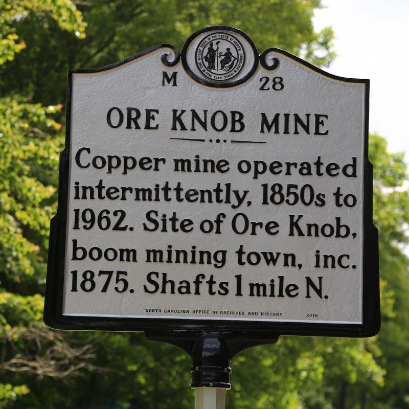
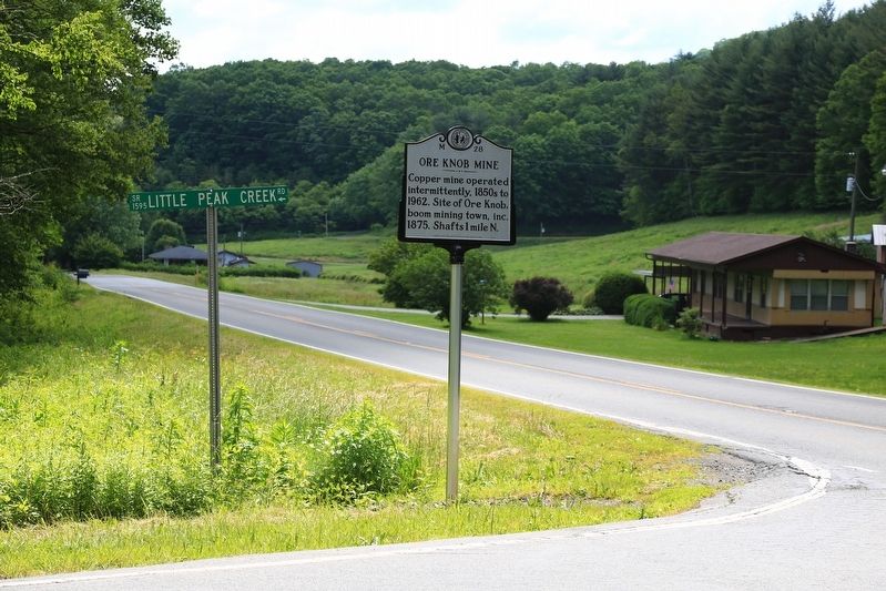
Ore Knob Mine
Erected 2016 by North Carolina Office of Archives and History. (Marker Number M-28.)
Topics and series. This historical marker is listed in these topic lists: Industry & Commerce • Natural Resources. In addition, it is included in the North Carolina Division of Archives and History series list. A significant historical year for this entry is 1850.
Location. 36° 23.587′ N, 81° 19.632′ W. Marker is in Peak Creek, North Carolina, in Ashe County. Marker is at the intersection of State Highway 88 and Little Peak Creek Road (Local Road 1595) on State Highway 88. Touch for map. Marker is in this post office area: Jefferson NC 28640, United States of America. Touch for directions.
Other nearby markers. At least 8 other markers are within 9 miles of this marker, measured as the crow flies. Tobaccoville Barn (a few steps from this marker); Robert L. Doughton (approx. 3.8 miles away); Glendale Springs Inn (approx. 4˝ miles away); Rev. John W. Luke and Wife Mary Shaw Luke (approx. 4.7 miles away); Ashe County War Memorial (approx. 7.6 miles away); Asa Gray (approx. 8.1 miles away); Old Ashe County War Memorial (approx. 8.2 miles away); Ashe County Victory Garden (approx. 8.2 miles away).
Also see . . . Ore Knob Copper Mine. 2006 article by Stewart Lillard in NCpedia.org. “ [John Mason] Lillard managed the original opening of the Ore Knob Copper Mine in 1855, when "four shafts were sunk on the property to depths of 90, 40, 30 and 40 feet and enough ore that assayed 19 percent copper was mined to make a profit of $9,400." But the distance of 63 miles over ‘poor mountain roads’ to the nearest railroad prevented the mine from being profitable, and it was closed in 1856.” (Submitted on June 23, 2017, by J. J. Prats of Powell, Ohio.)
Credits. This page was last revised on June 23, 2017. It was originally submitted on June 23, 2017, by J. J. Prats of Powell, Ohio. This page has been viewed 435 times since then and 39 times this year. Photos: 1, 2. submitted on June 23, 2017, by J. J. Prats of Powell, Ohio.

