Near Canoga in Seneca County, New York — The American Northeast (Mid-Atlantic)
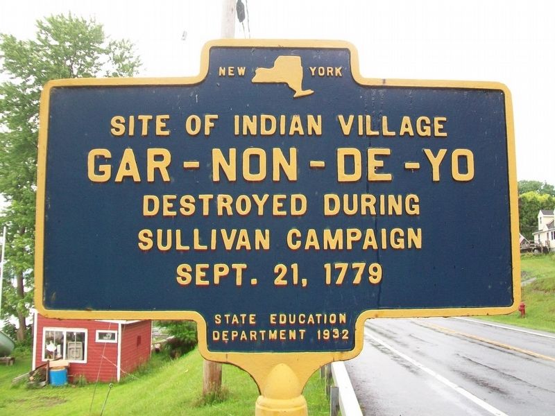
Gar-Non-De-Yo
Gar-Non-De-Yo
Destroyed during
Sullivan Campaign
Sept. 21, 1779
Erected 1932 by State Education Department.
Topics and series. This historical marker is listed in these topic lists: Native Americans • Settlements & Settlers • War, US Revolutionary. In addition, it is included in the The Sullivan-Clinton Expedition Against the Iroquois Indians series list. A significant historical date for this entry is September 21, 1779.
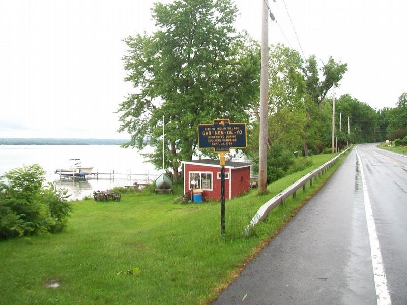
Location. 42° 52.613′ N, 76° 44.713′ W. Marker is near Canoga, New York, in Seneca County. Marker is on New York State Route 89, 0.2 miles south of Lower Lake Road (County Road 116), on the left when traveling south. Touch for map. Marker is at or near this postal address: 3056 NY Route 89, Seneca Falls NY 13148, United States of America. Touch for directions.
Other nearby markers. At least 8 other markers are within 3 miles of this marker, measured as the crow flies. "A Very Pretty Indian Town of Ten Houses" (a few steps from this marker); Red Jacket (approx. 0.8 miles away); Red Jacket. (approx. 0.8 miles away); Canoga Cemetery (approx. 0.9 miles away); Canoga Creek (approx. one mile away); Canoga (approx. 1.6 miles away); Peter Yawger House (approx. 2.2 miles away); Gansevoort Trail (approx. 2.2 miles away). Touch for a list and map of all markers in Canoga.
Credits. This page was last revised on June 26, 2017. It was originally submitted on June 26, 2017, by William Fischer, Jr. of Scranton, Pennsylvania. This page has been viewed 484 times since then and 35 times this year. Photos: 1, 2. submitted on June 26, 2017, by William Fischer, Jr. of Scranton, Pennsylvania.

