Spur in Dickens County, Texas — The American South (West South Central)
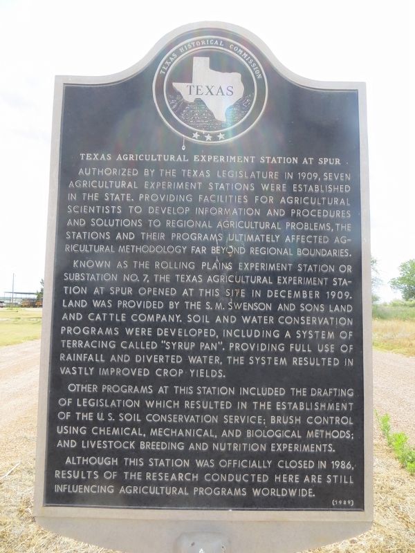
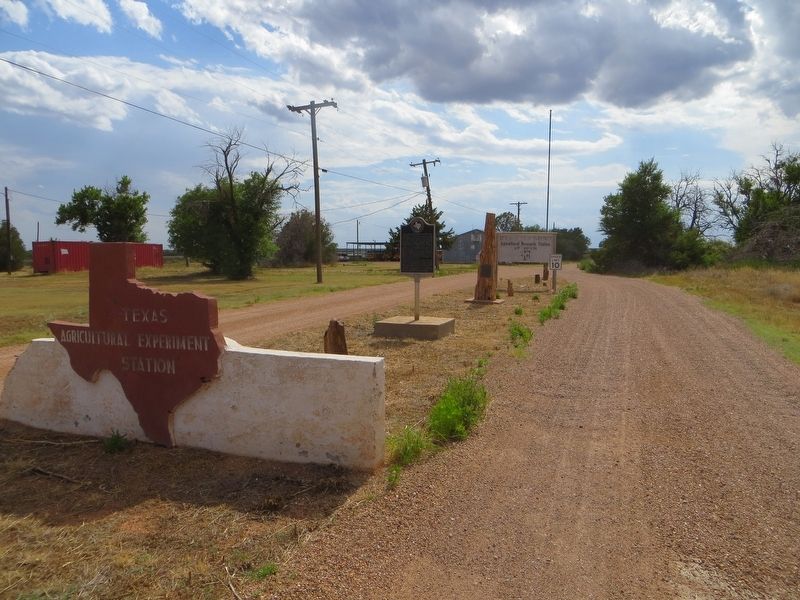
Texas Agricultural Experiment Station at Spur
Known as the Rolling Plains Experiment Station or Substation No. 7, the Texas Agricultural Experiment Station at Spur opened at this site in December 1909. Land was provided by the S. M. Swenson and Sons Land and Cattle Company. Soil and water conservation programs were developed, including a system of terracing called "Syrup Pan." Providing full use of rainfall and diverted water, the system resulted in vastly improved crop yields.
Other programs at this station included the drafting of legislation which resulted in the establishment of the U.S. Soil Conservation Service; brush control using chemical, mechanical, and biological methods; and livestock breeding and nutrition experiments.
Although this station was officially closed in 1986, results of the research conducted here are still influencing agricultural programs worldwide.
Erected 1989 by Texas Historical Commission. (Marker Number 5245.)
Topics. This historical marker is listed in these topic lists: Agriculture • Science & Medicine. A significant historical month for this entry is December 1909.
Location. 33° 28.736′ N, 100° 52.74′ W. Marker is in Spur, Texas, in Dickens County. Marker is on Farm to Market Road 2794, on the right when traveling west. Marker is at western city limits. Touch for map. Marker is in this post office area: Spur TX 79370, United States of America. Touch for directions.
Other nearby markers. At least 6 other markers are within 11 miles of this marker, measured as the crow flies. Lisenby-Campbell House (approx. 1˝ miles away); Fourth U.S. Cavalry (approx. 2.3 miles away); Site of Anderson's Fort or Soldier's Mound (approx. 3.8 miles away); Dickens County (approx. 10.2 miles away); Dickens Springs (approx. 10˝ miles away); Dickens Cemetery (approx. 10˝ miles away).
Credits. This page was last revised on June 27, 2017. It was originally submitted on June 27, 2017, by Bill Kirchner of Tucson, Arizona. This page has been viewed 360 times since then and 34 times this year. Photos: 1, 2. submitted on June 27, 2017, by Bill Kirchner of Tucson, Arizona.

