Near Matador in Motley County, Texas — The American South (West South Central)
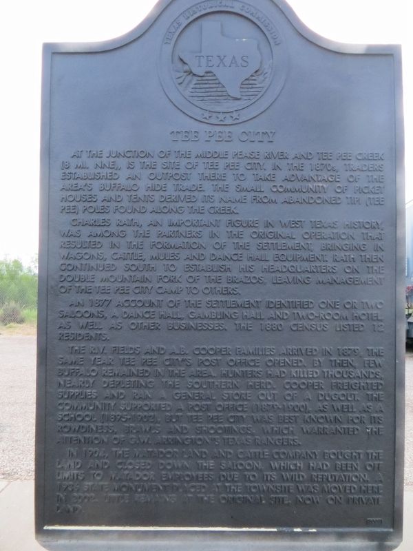
Tee Pee City
Charles Rath, an important figure in West Texas history, was among the partners in the original operation that resulted in the formation of the settlement, bringing in wagons, cattle, mules and dance hall equipment. Rath then continued south to establish his headquarters on the Double Mountain Fork of the Brazos, leaving management of the Tee Pee City camp to others.
An 1877 account of the settlement identified one or two saloons, a dance hall, gambling hall and two-room hotel, as well as other businesses. The 1880 census listed 12 residents.
The R.V. Fields and A.B. Cooper families arrived in 1879, the same year Tee Pee City's post office opened. By then, few buffalo remained in the area. Hunters had killed thousands, nearly depleting the southern herd. Cooper freighted supplies and ran a general store out of a dugout. The community supported a post office (1879-1900), as well as a school (1895-1902), but Tee Pee City was best known for its rowdiness, brawls and shootings, which warranted the attention of G.W. Arrington's Texas Rangers.
In 1904, the Matador Land and Cattle Company bought the land and closed down the saloon, which had been off limits to Matador employees due to its wild reputation. A 1936 state monument placed at the townsite was moved here in 2002. Little remains at the original site, now on private land.
Erected 2002 by Texas Historical Commission. (Marker Number 14528.)
Topics. This historical marker is listed in this topic list: Settlements & Settlers. A significant historical year for this entry is 1877.
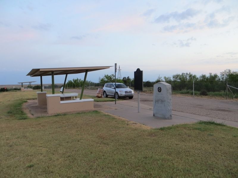
Location. 34° 0.416′ N, 100° 38.434′ W. Marker is near Matador, Texas, in Motley County. Marker is on U.S. 62, 10 miles east of Matador, on the left when traveling east. Touch for map. Marker is in this post office area: Matador TX 79244, United States of America. Touch for directions.
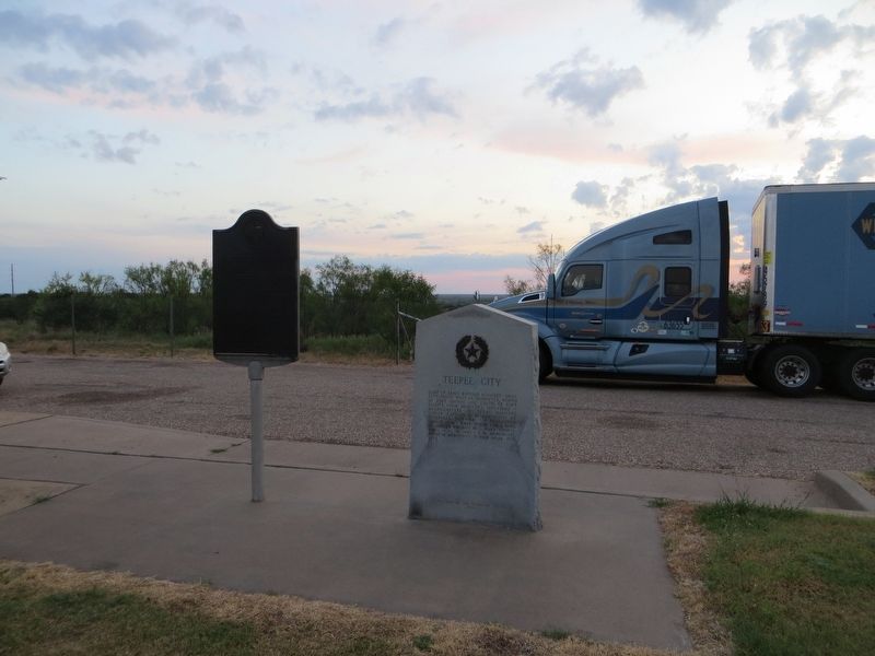
Other nearby markers. At least 8 other markers are within 11 miles of this marker, measured as the crow flies. Teepee City (here, next to this marker); The Motley County Railroad (approx. 9.9 miles away); Motley County Jail (approx. 10.4 miles away); Quanah Parker Trail (approx. 10.4 miles away); a different marker also named Quanah Parker Trail (approx. 10˝ miles away); Traweek House (approx. 10.6 miles away); Motley County (approx. 10.8 miles away); Bob's Oil Well (approx. 10.8 miles away). Touch for a list and map of all markers in Matador.
Credits. This page was last revised on July 3, 2017. It was originally submitted on June 30, 2017, by Bill Kirchner of Tucson, Arizona. This page has been viewed 269 times since then and 14 times this year. Photos: 1, 2, 3. submitted on June 30, 2017, by Bill Kirchner of Tucson, Arizona.


