Old Louisville in Jefferson County, Kentucky — The American South (East South Central)
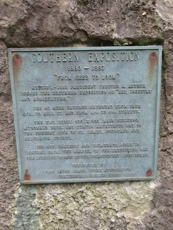
Southern Exposition
1883 – 1887
— “From Seed to Loom” —
August 1 – 1883 President Chester A. Arthur opened the Southern Exposition of “Art, Industry and Agriculture.”
The 40 acre grounds extended from Park Ave. to Hill St. and from 4th to 6th Streets.
The two story 600’ x 900’ main building, McDonald Bros. and Curtin architects was on the present site of St. James fountain and Belgrave Courts.
The art gallery and promenade were in Central Park, the marvel of the exposition was the lighting of 4600 Edison incandescent light bulbs.
Erected 1983 by St. James Court Association.
Topics and series. This historical marker is listed in these topic lists: Agriculture • Arts, Letters, Music • Industry & Commerce. In addition, it is included in the Former U.S. Presidents: #21 Chester A. Arthur series list.
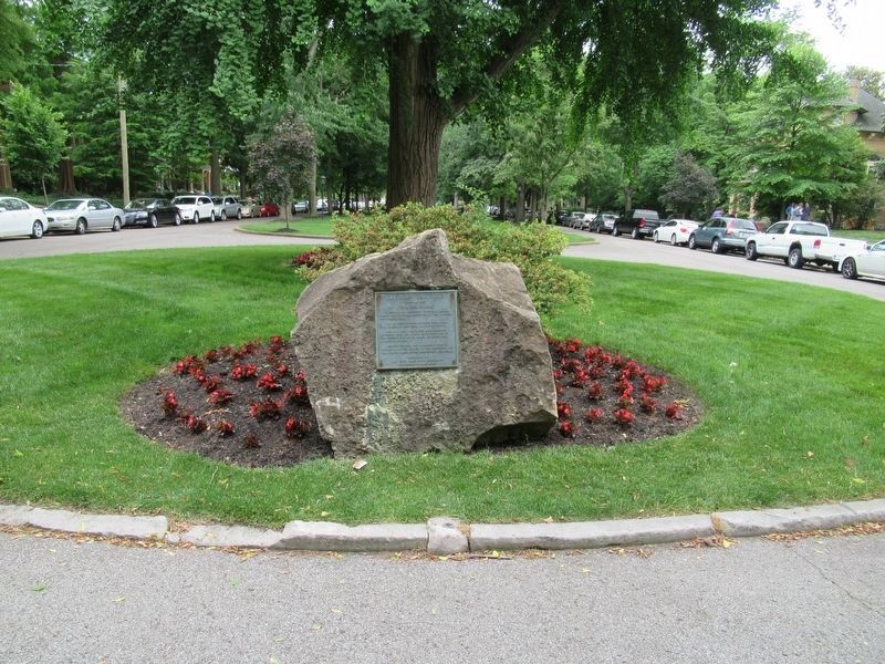
Location. 38° 13.754′ N, 85° 45.783′ W. Marker is in Louisville, Kentucky, in Jefferson County. It is in Old Louisville. Marker is at the intersection of W Magnolia Ave and St. James Court, on the right when traveling east on W Magnolia Ave. Touch for map. Marker is in this post office area: Louisville KY 40208, United States of America. Touch for directions.
Other nearby markers. At least 8 other markers are within walking distance of this marker. Conrad-Caldwell House (within shouting distance of this marker); Visions / Restoration and Revitalization (about 400 feet away, measured in a direct line); Cabbage Patch Settlement (about 500 feet away); Samuel Grabfelder (1846-1920) / Grabfelder-Handy Mansion (approx. 0.2 miles away); Susan Look Avery (approx. ¼ mile away); Susan Look Avery / Woman's Club of Louisville (approx. ¼ mile away); The Filson Historical Society / The Ferguson Mansion (approx. 0.3 miles away); Chateauesque Architecture / Gilded Age Mansions (approx. 0.4 miles away). Touch for a list and map of all markers in Louisville.
Also see . . . Southern Exposition on Wikipedia. (Submitted on July 1, 2017, by Michael Herrick of Southbury, Connecticut.)
Credits. This page was last revised on February 12, 2023. It was originally submitted on July 1, 2017, by Michael Herrick of Southbury, Connecticut. This page has been viewed 364 times since then and 65 times this year. Photos: 1, 2. submitted on July 1, 2017, by Michael Herrick of Southbury, Connecticut.

