Near Etlan in Madison County, Virginia — The American South (Mid-Atlantic)
Madison County / Rappahannock County
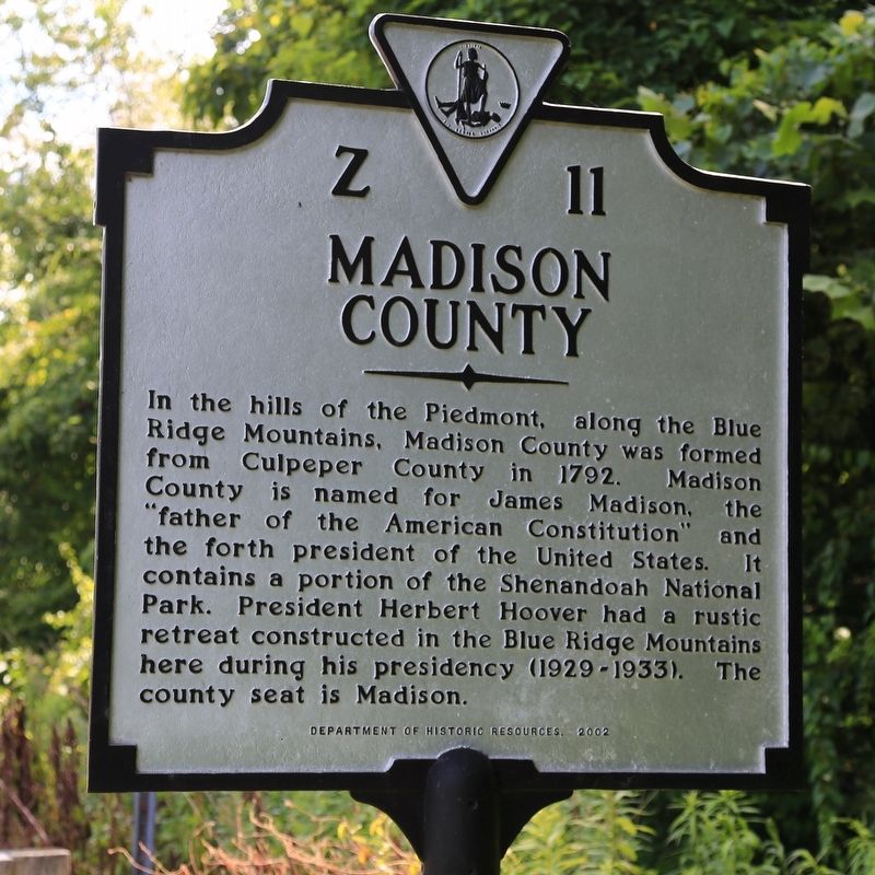
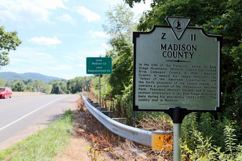
Madison County. In the hills of the Piedmont, along the Blue Ridge Mountains, Madison County was formed from Culpeper County in 1792. Madison County is named for James Madison, the “father of the American Constitution” and the forth president of the United States. It contains a portion of the Shenandoah National Park. President Herbert Hoover had a rustic retreat constructed in the Blue Ridge Mountains here during his presidency (1929–1931) The county seat is Madison.
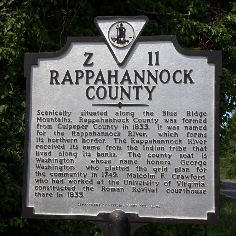
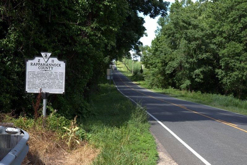
Rappahannock County. Scenically situated along the Blue Ridge Mountains, Rappahannock County was formed from Culpeper County in 1833. It was named for the Rappahannock River, which forms its northern border. The Rappahannock River received its name from the Indian tribe that lived along its banks. The county seat is Washington, whose name honors George Washington, who platted the grid plan for the community in 1749, Malcolm F. Crawford, who had worked at the University of Virginia. constructed the courthouse there in 1833.
Erected 2002 by Department of Historic Resources. (Marker Number Z-11.)
Topics and series. This historical marker is listed in this topic list: Political Subdivisions. In addition, it is included in the Former U.S. Presidents: #04 James Madison, the Former U.S. Presidents: #31 Herbert Hoover, and the Virginia Department of Historic Resources (DHR) series lists. A significant historical year for this entry is 1792.
Location. 38° 32.52′ N, 78° 14.633′ W. Marker is near Etlan, Virginia, in Madison County. Marker is at the intersection of Francis Thorton Valley Road (Virginia Route 231) and Nethers Road (County Route 602) on Francis Thorton Valley Road. Touch for map. Marker is in this post office area: Etlan VA 22719, United States of America. Touch for directions.
Other nearby markers. At least 8 other markers are within 7 miles of this marker, measured as the crow flies. F. T. Baptist Church (approx. 0.8 miles away); Slate Mills (approx. 1.1 miles away); Rappahannock County / Culpeper County (approx. 5.7 miles away); Woodville (approx. 5.7 miles away); Mosby and Sneden (approx. 5.7 miles away); Milroy's Camp (approx. 5.7 miles away); John Jackson—Traditional Musician (approx. 5.8 miles away); Blue Ridge Turnpike (approx. 6˝ miles away).
Credits. This page was last revised on July 8, 2021. It was originally submitted on July 1, 2017, by J. J. Prats of Powell, Ohio. This page has been viewed 236 times since then and 30 times this year. Photos: 1, 2, 3, 4. submitted on July 1, 2017, by J. J. Prats of Powell, Ohio.


