Richlands in Tazewell County, Virginia — The American South (Mid-Atlantic)
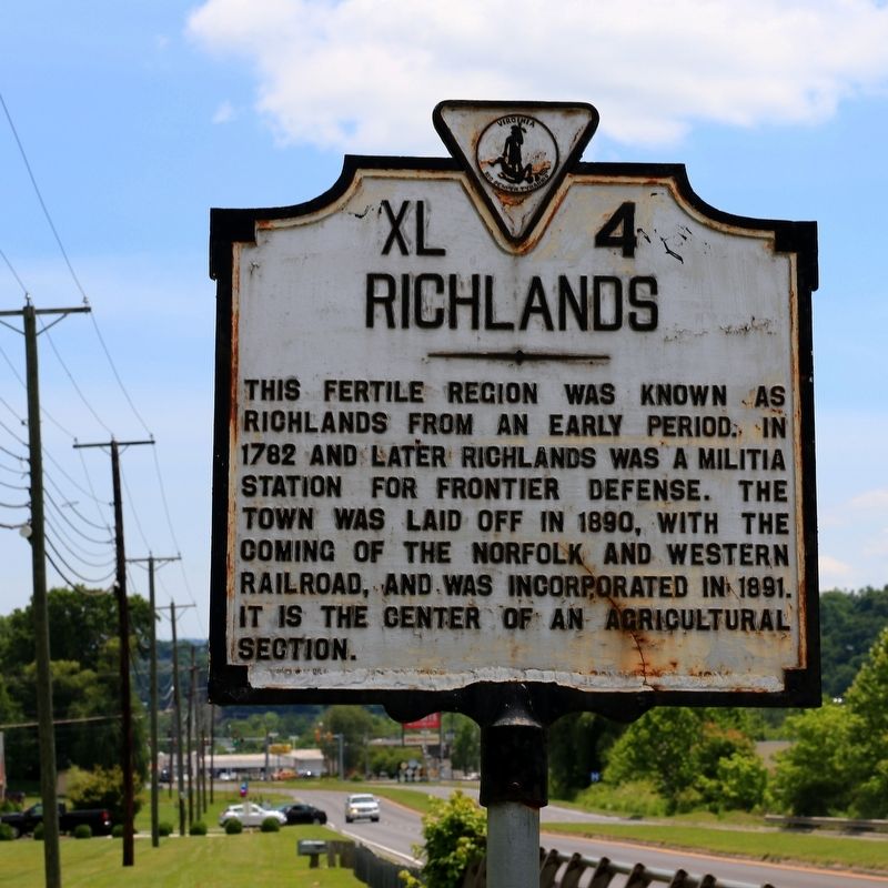
Richlands
Erected 1941 by Virginia Conservation Commission. (Marker Number XL-4.)
Topics and series. This historical marker is listed in these topic lists: Agriculture • Natural Resources • Railroads & Streetcars. In addition, it is included in the Virginia Department of Historic Resources (DHR) series list. A significant historical year for this entry is 1782.
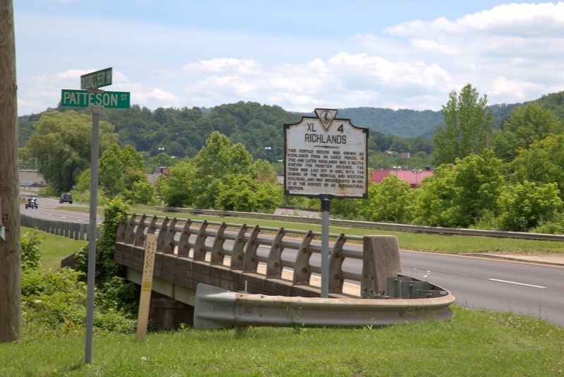
Location. 37° 5.691′ N, 81° 49.575′ W. Marker is in Richlands, Virginia, in Tazewell County. Marker is at the intersection of Governor George C. Peery Highway (U.S. 469) and Patterson Street, on the right when traveling west on Governor George C. Peery Highway. It is at the entrance to Clinch Valley Cemetery. Touch for map. Marker is in this post office area: Richlands VA 24641, United States of America. Touch for directions.
Other nearby markers. At least 8 other markers are within 4 miles of this marker, measured as the crow flies. N&W Railroad Section Foreman's House (approx. 1.4 miles away); First Christian Church (approx. 1˝ miles away); Dr. Williams' Operating Room (approx. 1˝ miles away); Site of the First Bank in Richlands (approx. 1.6 miles away); Becky's Jewel Box (approx. 1.6 miles away); T. Shea Cook Family Home (approx. 1.6 miles away); Dixie Hotel Building (approx. 1.7 miles away); Railroad & Resort (approx. 3.4 miles away). Touch for a list and map of all markers in Richlands.
Also see . . . Wikipedia entry for Richlands Historic District. Richlands Historic District is a national historic district located at Richlands, Tazewell County, Virginia. The district encompasses 91 contributing buildings in the central business district of the town of Richlands. It includes residential, commercial, and institutional buildings dating from the late-19th to mid-20th centuries. Notable buildings include the W.B.F. White and Sons Hardware building (c. 1892), Bank of Richlands (c. 1890), Norfolk and Western Railroad Section House (c. 1889), First Christian Church (1908), First United Methodist Church, and Richlands Presbyterian Church. Also located in the district is the separately listed Clinch Valley Coal and Iron Company Office. (Submitted on July 2, 2017.)
Additional commentary.

