Near Liberty in Tazewell County, Virginia — The American South (Mid-Atlantic)
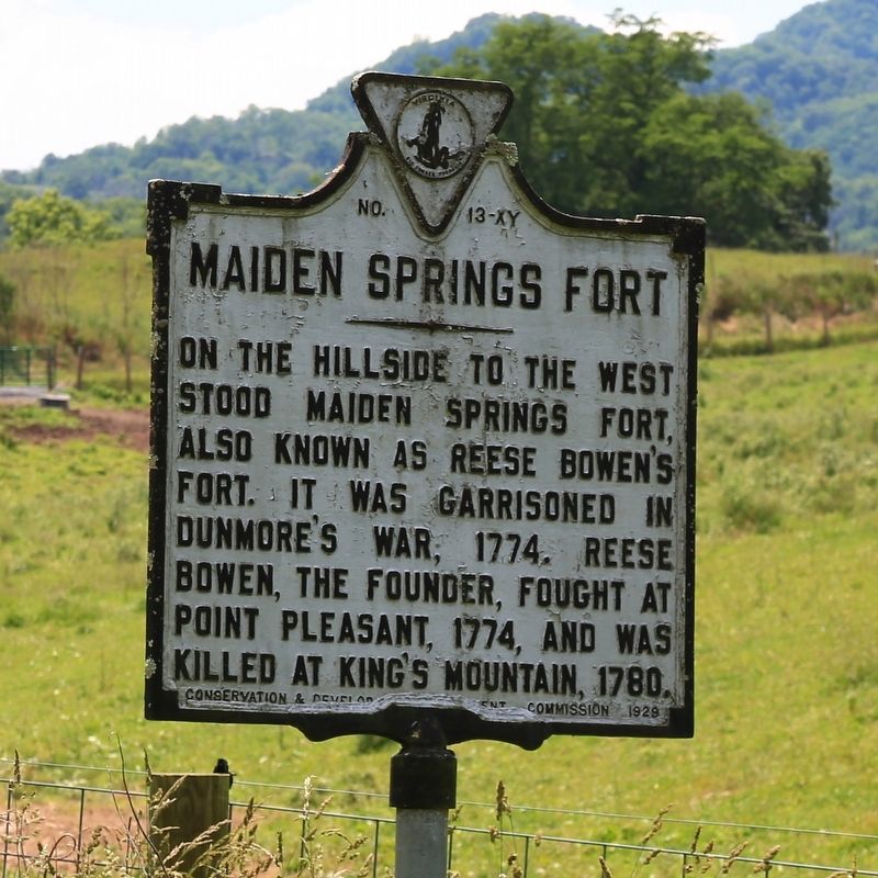
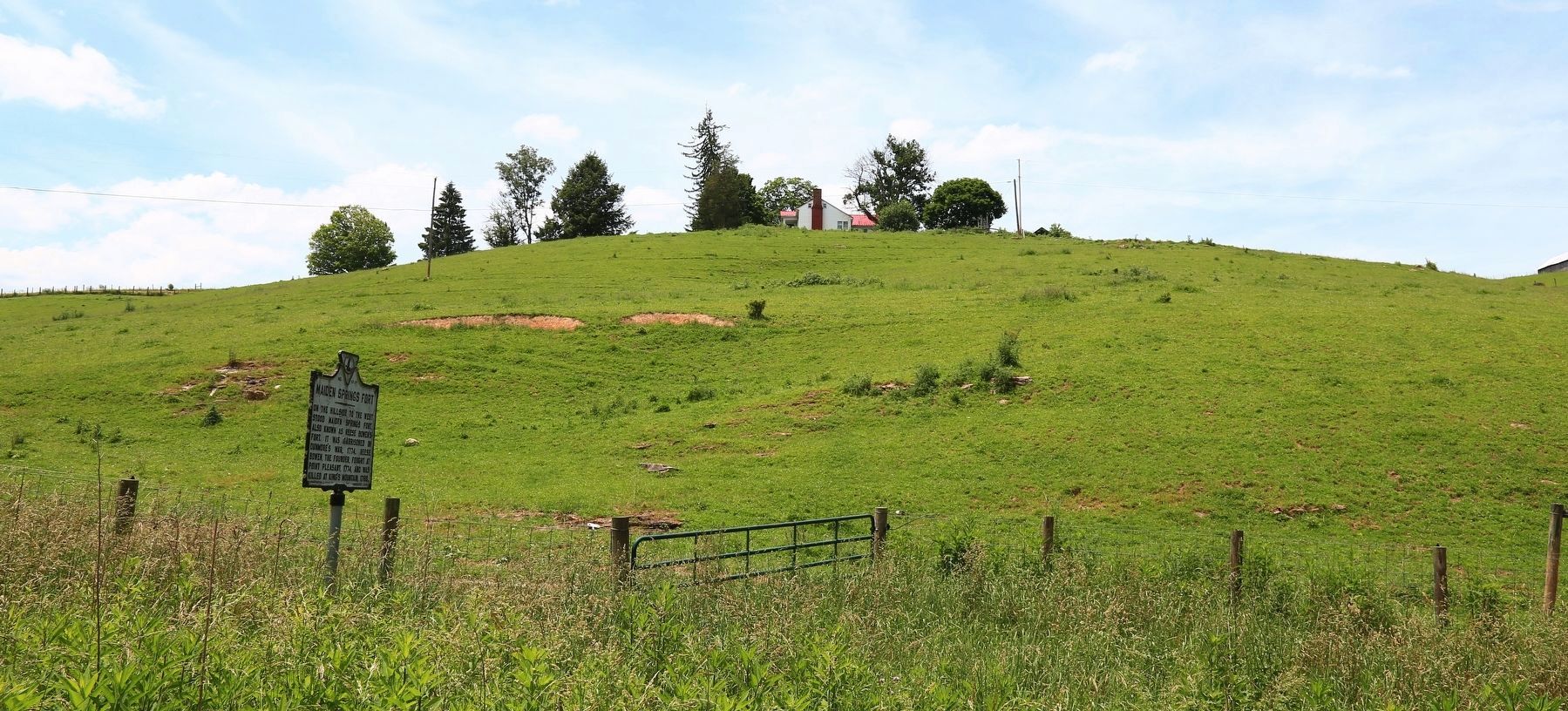
Maiden Springs Fort
Erected 1929 by Conservation & Development Commission. (Marker Number XY-13.)
Topics and series. This historical marker is listed in these topic lists: Forts and Castles • Settlements & Settlers • War, US Revolutionary • Wars, US Indian. In addition, it is included in the Virginia Department of Historic Resources (DHR), and the Virginia, Clinch River Forts Circa 1774 series lists. A significant historical year for this entry is 1774.
Location. 37° 1.788′ N, 81° 40.894′ W. Marker is near Liberty, Virginia, in Tazewell County. Marker is on Virginia Route 91 just north of Wardell Road (County Route 609), on the right when traveling south. Touch for map. Marker is in this post office area: Pounding Mill VA 24637, United States of America. Touch for directions.
Other nearby markers. At least 8 other markers are within 8 miles of this marker, measured as the crow flies. Cedar Bluff (approx. 5.8 miles away); A Warm Heritage (approx. 6 miles away); Civil War Years (approx. 6.1 miles away); A Virginia Leader (approx. 6.1 miles away); Mill Industries (approx. 6.1 miles away); Railroad & Resort (approx. 6.1 miles away); Roark’s Gap Incident (approx. 7.6 miles away); Dixie Hotel Building (approx. 7.7 miles away).
Also see . . . Frontier Forts of Southwest Virginia. This was one of the seven original forts, says this sketch by Emory L. Hamilton in his 1948 book Historical Sketches of Southwest Virginia. “The third fort under Captain Daniel Smith's command was the Maiden Springs Station located at the Maiden Spring branch of Clinch River, and was the home of Rees Bowen. No description has been found as to the construction details or size of this fort. There is no account that it ever came under direct assault by the Indians, but it did remain one of the frontier defense bastions throughout the troubled Indian days.” (Submitted on July 2, 2017.)
Credits. This page was last revised on July 9, 2021. It was originally submitted on July 2, 2017, by J. J. Prats of Powell, Ohio. This page has been viewed 781 times since then and 104 times this year. Photos: 1, 2. submitted on July 2, 2017, by J. J. Prats of Powell, Ohio.

