Pocahontas in Tazewell County, Virginia — The American South (Mid-Atlantic)
Town of Pocahontas Commercial District
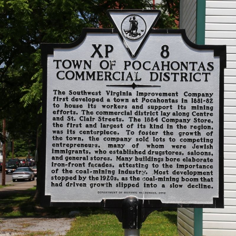
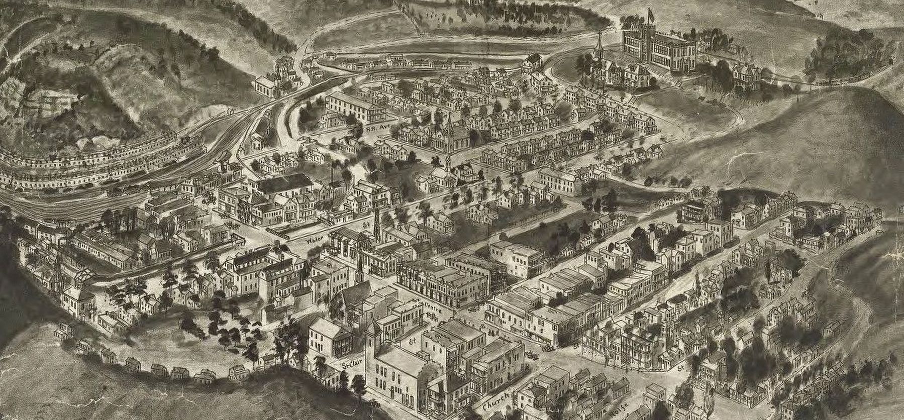
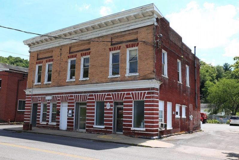
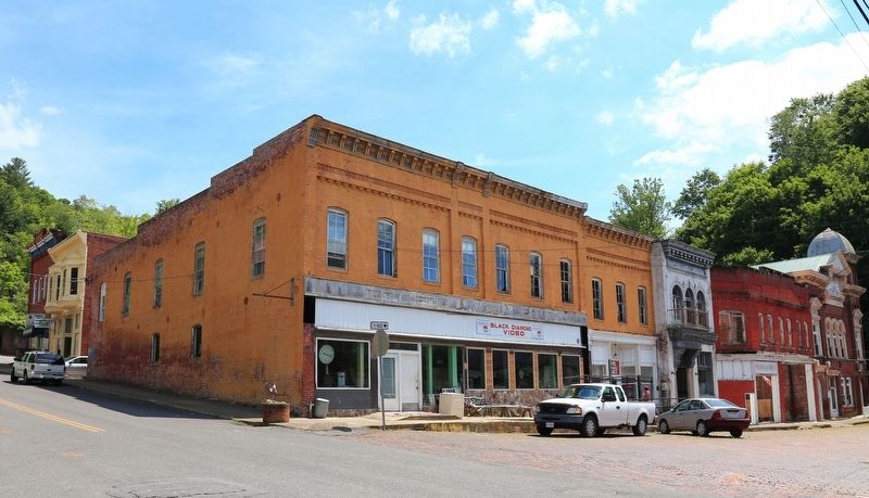
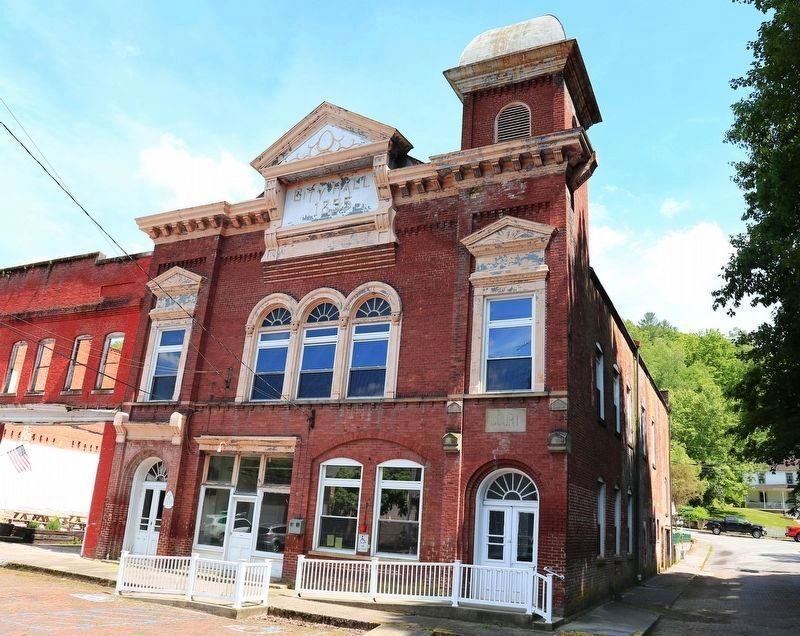
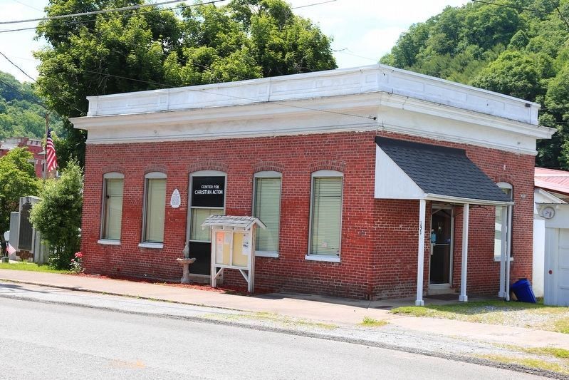
The Southwest Virginia Improvement Company first developed a town at Pocahontas in 1881-82 to house its workers and support its mining efforts. The commercial district lay along Centre and St. Clair Streets. The 1884 Company Store, the first and largest of its kind in the region, was its centerpiece. To foster the growth of the town, the company sold lots to competing entrepreneurs, many of whom were Jewish immigrants, who established drugstores, saloons, and general stores. Many buildings bore elaborate iron-front facades attesting to the importance of the coal mining industry. Most development stopped by the 1920s, as the coal mining boom that had driven growth slipped into a slow decline.
Erected 2012 by Department of Historic Resources. (Marker Number XP-8.)
Topics and series. This historical marker is listed in these topic lists: Industry & Commerce • Natural Resources. In addition, it is included in the Virginia Department of Historic Resources (DHR) series list. A significant historical year for this entry is 1884.
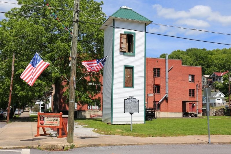
Location. 37° 18.267′ N, 81° 20.395′ W. Marker is in Pocahontas, Virginia, in Tazewell County. Marker is at the intersection of Centre Street (County Route 644) and Water Street on Centre Street. Touch for map . Marker is in this post office area: Pocahontas VA 24635, United States of America. Touch for directions.
Other nearby markers. At least 8 other markers are within 2 miles of this marker, measured as the crow flies. Pocahontas Mine No. 1 (approx. 0.4 miles away); Abb’s Valley (approx. half a mile away); Pocahontas (approx. half a mile away); Pocahontas Cemetery (approx. half a mile away); Jordan Nelson’s Coal Bank (approx. 0.7 miles away in West Virginia); Bramwell (approx. 1.4 miles away in West Virginia); Mill Creek Coal & Coke Co. (approx. 1.4 miles away in West Virginia); West Virginia (Mercer County) / Mercer County (approx. 1.9 miles away in West Virginia). Touch for a list and map of all markers in Pocahontas.
More about this marker. This marker is at the site of the Company Store, which fell down in 2007 and was removed, after many years a derelict, leaving an empty block.
Also see . . .
1. Pocahontas, Virginia. Wikipedia entry:
“The Town of Pocahontas owns and operates the Pocahontas Exhibition Mine and Museum, a National Historic Landmark and Virginia’s official ‘coal heritage zone.’ The ‘show mine,’ as many locals call it, features tours from retired coal miners into the real mine that served as the birthplace of the world-famous Pocahontas #3 coal that heated homes across the United States for many decades and was the chosen fuel of the United States Navy. The exhibition mine, open from April–August annually, features a 13-foot-tall (4.0 m) coal seam. There is also a museum and education center located in the mine's former powerhouse. (Submitted on July 3, 2017.)
2. The N&W's Pocahontas Branch. Rails in Virginia website entry:
“Geographically speaking the Pocahontas Branch was typical of the hundreds of branches tucked away in the valleys and hollows of the region. There were steep grades, lots of curves and bridges, and of course tunnels. All the ingredients of a classic Appalachian branch line. Along the way three tunnels were built. Pocahontas Tunnel No. 1 is 201 feet long and has a natural rock face at each end with no lining. Stretching a bit longer at 366 feet in length was Pocahontas Tunnel No. 2 which was also a natural rock tunnel until it was lined with concrete and portals in 1915. Just south of Pocahontas is the 37-foot long Western Branch Tunnel.” (Submitted on July 3, 2017.)
3. Between Two Hills: The Story of Pocahontas Virginia. YouTube 46 minute documentary directed by Dan McCoig. (Submitted on July 3, 2017.)
4. The Pocahontas (train). Wikipedia entry:
i>“The Pocahontas was one of the named passenger trains of the Norfolk and Western Railway. It was an overnight train between Norfolk, Virginia, and Cincinnati, Ohio, with a through-car to and from Chicago, Illinois. Westbound
Train 3 left Norfolk at 2:40 p.m. and arrived at Cincinnati at 7:35 a.m., while the eastbound Train 4 left Cincinnati at 11:25 p.m. and arrived back at Norfolk at 5:10 p.m.” Westbound towards Cincinnati, Train 3 stopped at Bluestone at 11:18 PM for Pocahontas passengers. Eastbound towards Norfolk, Train 4 stopped at Bluestone at 7:15 AM. (Submitted on July 5, 2017.)
Additional commentary.
1. During Pocahontas’ heyday, the only fast and reliable way to get here was by train.
In 1925 the Norfolk and Western Railway operated 18 passenger trains a day, nine in each direction, for the five minute ride between Pocahontas and Bluestone Junction, West Virginia. That ride, through three tunnels and over five bridges, was only 1½ miles long, and that ride was not only fast, but clean, as the trains were pulled by electric locomotives after 1916. Today that railroad line is abandoned and it is a 10 minute, 2½ mile ride by automobile up and down mountains over narrow country roads with hairpin curves between Pocahontas and Bluestone, now no longer a junction.
At Bluestone Junction was Norfolk & Western’s Virginia and Ohio main line. Those 18 Pocahontas trains were timed to connect with the 18 passenger trains hauled by steam locomotives
including their crack express trains The Pocahontas and The Cavalier, both between Norfolk and Cincinnati. These trains stopped at Lynchburg, Petersburg, Roanoke in Virginia as well as Kenova, West Virginia, Ashland, Kentucky. In Roanoke, Lynchburg, and Petersburg, numerous trains from various lines could take you to not only to Richmond, but to Florida, New York, Atlanta, New Orleans and beyond. At Cincinnati likewise, to Chicago and beyond.
— Submitted July 3, 2017, by J. J. Prats of Powell, Ohio.
Credits. This page was last revised on June 26, 2022. It was originally submitted on July 3, 2017, by J. J. Prats of Powell, Ohio. This page has been viewed 473 times since then and 48 times this year. Photos: 1, 2, 3, 4, 5, 6, 7, 8. submitted on July 3, 2017, by J. J. Prats of Powell, Ohio.
