Near Guthrie in King County, Texas — The American South (West South Central)
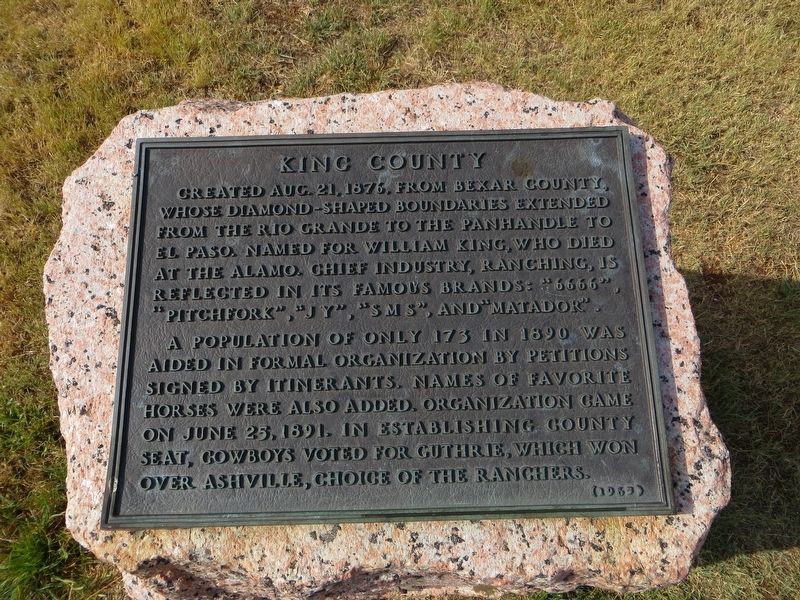
King County
A population of only 173 in 1890 was aided in formal organization by petitions signed by itinerants. Names of favorite horses were also added. Organization came on June 25, 1891. In establishing county seat, cowboys voted for Guthrie, which won over Ashville, choice of the ranchers.
Erected 1965 by State of Texas. (Marker Number 2944.)
Topics and series. This historical marker is listed in this topic list: Settlements & Settlers. In addition, it is included in the Texas 1936 Centennial Markers and Monuments series list. A significant historical date for this entry is June 25, 1891.
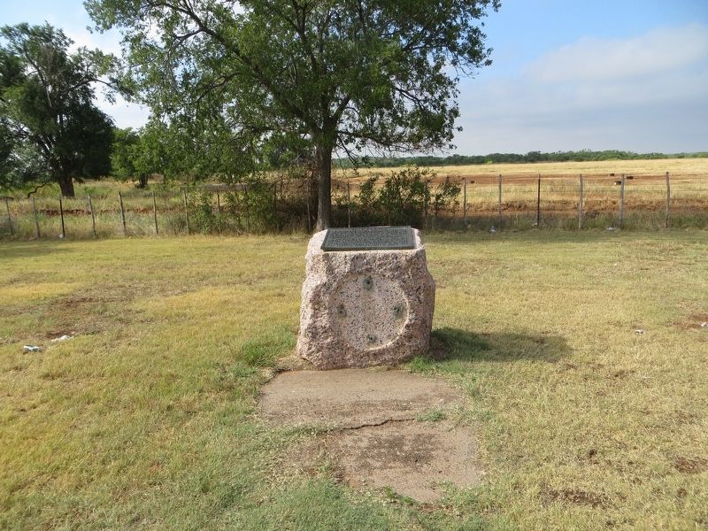
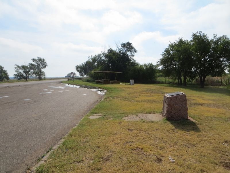
Location. 33° 37.925′ N, 100° 21.422′ W. Marker is near Guthrie, Texas, in King County. Marker is on U.S. 82, 2˝ miles west of Guthrie, on the left when traveling west. Touch for map. Marker is in this post office area: Guthrie TX 79236, United States of America. Touch for directions.
Other nearby markers. At least 2 other markers are within 11 miles of this marker, measured as the crow flies. King County Courthouse (approx. 2.2 miles away); Pitchfork Ranch (approx. 10.4 miles away).
More about this marker. This marker was originally erected in 1936 but, the plaque was replaced in 1965.
Additional commentary.
1. Marker removed?
Recent Google street view does not show this monument & marker. Two picnic pavilion's have been placed at this spot.
— Submitted March 26, 2023.
Credits. This page was last revised on March 26, 2023. It was originally submitted on July 5, 2017, by Bill Kirchner of Tucson, Arizona. This page has been viewed 427 times since then and 32 times this year. Photos: 1, 2, 3. submitted on July 5, 2017, by Bill Kirchner of Tucson, Arizona.
Editor’s want-list for this marker. Verify marker still here. • Can you help?


