West Pittston in Luzerne County, Pennsylvania — The American Northeast (Mid-Atlantic)
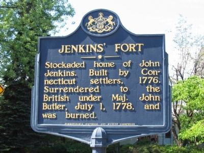
Jenkins' Fort
Erected 1947 by Pennsylvania Historical and Museum Commission.
Topics and series. This historical marker is listed in these topic lists: Forts and Castles • War, US Revolutionary. In addition, it is included in the Pennsylvania Historical and Museum Commission series list. A significant historical date for this entry is July 1, 1778.
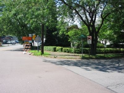
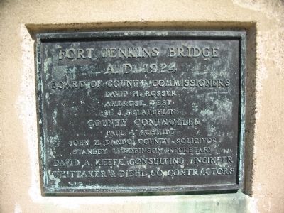
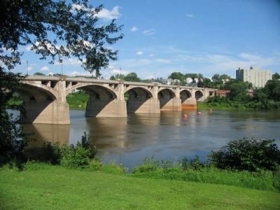
Location. 41° 19.665′ N, 75° 47.579′ W. Marker is in West Pittston, Pennsylvania, in Luzerne County. Marker is at the intersection of Wyoming Street (U.S. 11) and Exeter Avenue (State Highway 92), on the right when traveling west on Wyoming Street. Located at the west end of Fort Jenkins Bridge, at a three way intersection of Wyoming, Exeter, and Susquehanna Avenues. Touch for map. Marker is in this post office area: Pittston PA 18643, United States of America. Touch for directions.
Other nearby markers. At least 8 other markers are within walking distance of this marker. A different marker also named Jenkins Fort (here, next to this marker); Sam Miceli Veterans' Memorial Park (approx. ¼ mile away); The Greater Pittston Coal Miner (approx. ¼ mile away); World War Memorial (approx. ¼ mile away); 1st Lieutenant Jeffrey Frank DePrimo (approx. 0.3 miles away); Lieutenant Colonel Richard Joseph Berrettini (approx. 0.3 miles away); Corporal Dale Justin Kridlo (approx. 0.3 miles away); Our Hometown Heroes (approx. 0.3 miles away). Touch for a list and map of all markers in West Pittston.
Also see . . . Jenkins' Fort. Section from the Report of the Commission to locate the site of Frontier Forts. The fort was named after John Jenkins, whose house was expanded to form this stockade. (Submitted on August 20, 2008, by Craig Swain of Leesburg, Virginia.)
Credits. This page was last revised on May 10, 2023. It was originally submitted on August 20, 2008, by Craig Swain of Leesburg, Virginia. This page has been viewed 2,696 times since then and 98 times this year. Photos: 1, 2, 3, 4. submitted on August 20, 2008, by Craig Swain of Leesburg, Virginia.


