West Bloomfield in Oakland County, Michigan — The American Midwest (Great Lakes)
A Lake and a Trolley
Put Keego Harbor on the Map
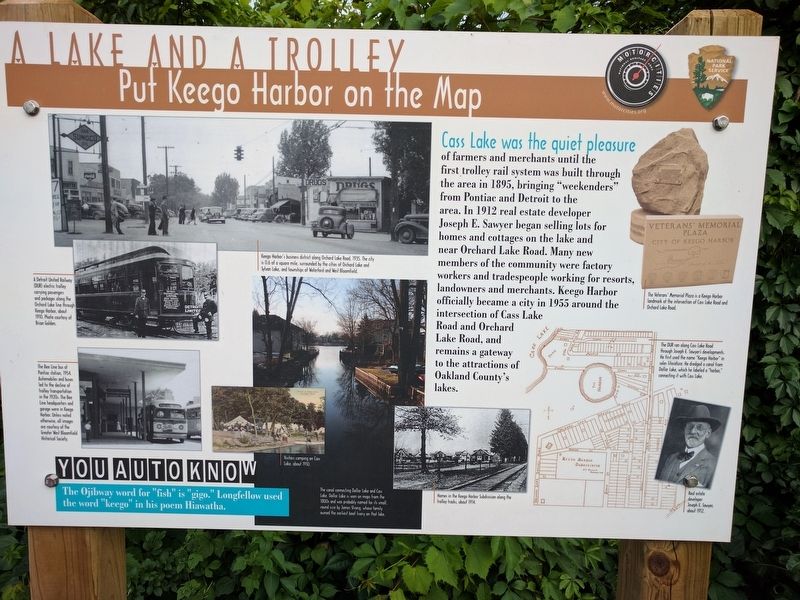
Cass Lake was the quiet pleasure
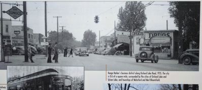
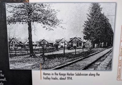
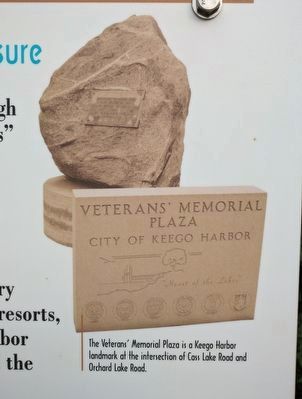
of farmers and merchants until the first trolley rail system was built through the area in 1895, bringing "weekenders" from Pontiac and Detroit to the area. In 1912 real estate developer Joseph E. Sawyer began selling lots for homes and cottages on the lake and near Orchard Lake Road. Many new members of the community were factory workers and tradespeople working for resorts, landowners and merchants. Keego Harbor officially became a city in 1955 around the intersection of Cass Lake Road and Orchard Lake Road, and remains a gateway to the attractions of Oakland County's lakes.
You Auto Know
The Ojibway word for "fish" is "gigo." Longfellow used the word "keego" in his poem Hiawatha.
Erected by MotorCities National Heritage Area, National Park Service.
Topics and series. This historical marker is listed in this topic list: Railroads & Streetcars. In addition, it is included in the MotorCities National Heritage Area series list. A significant historical year for this entry is 1895.
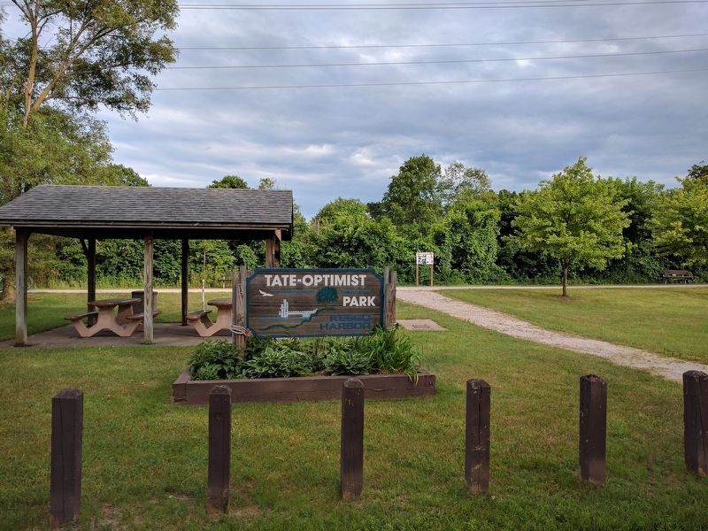
Location. 42° 35.886′ N, 83° 20.832′ W. Marker is in West Bloomfield, Michigan, in Oakland County. Marker is on Rycroft, 0.1 miles east of Orchard Lake Road, on the right when traveling east. Marker is on the West Bloomfield Trail, a bicycling/hiking trail, about 0.2 mile north of Orchard Lake Road crossing #3. Marker can be seen from Tate-Optimist Park in Keego Harbor. Touch for map. Marker is at or near this postal address: 3245 Rycroft, West Bloomfield MI 48324, United States of America. Touch for directions.
Other nearby markers. At least 8 other markers are within walking distance of this marker. In Good Company (approx. 0.2 miles away); "Motoring" to Pine Lake (approx. 0.4 miles away); Waiting Room and the "Wye" (approx. 0.4 miles away); Lakes and Attractions (approx. half a mile away); Tracks Over Tracks (approx. 0.6 miles away); Orchard Lake Schools / Joseph Tarr Copeland (approx. 0.6 miles away); Remembering Historic Railways (approx. ¾ mile away); Gateway to Nature (approx. 0.9 miles away). Touch for a list and map of all markers in West Bloomfield.
Photographed By Joel Seewald, July 2, 2017
3. Lower Left Images
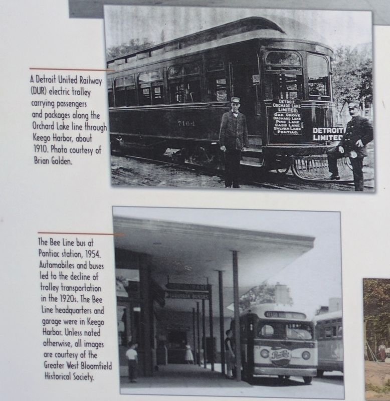
Top: A Detroit United Railway (DUR) electric trolley carrying passengers and packages along the Orchard Lake line through Keego Harbor, about 1920. Phto courtesy of Brian Golden. Bottom: The Bee Line bus at Pontiac station, 1954. Automobiles and buses led to the decline of trolley transportation in the 1920s. The Bee Line headquarters and garage were in Keego Harbor. Unless noted otherwise, all images are courtesy of the Greater West Bloomfield Historical Society.
Photographed By Joel Seewald, July 2, 2017
4. Lower Middle Left Images
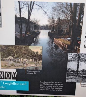
Left: Visitors camping on Cass Lake, about 1910. Right: The canal connecting Dollar Lake and Cass Lake. Dollar Lake is seen on maps from the 1800s and was probably named for its small, round size by James Strong, whose family owned the earliest boat livery on that lake.
Photographed By Joel Seewald, July 2, 2017
7. Lower Right Images
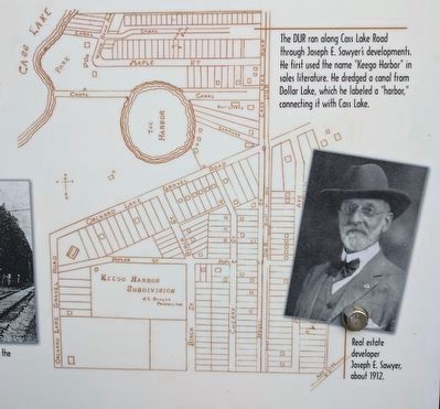
Map: The DUR ran along Cass Lake Road through Joseph E. Sawyer's developments. He first used the name "Keego Harbor" in sales literature. He dredged a canal from Dollar Lake, which he labeled a "harbor," connecting it with Cass Lake. Photo: Real estate developer Joseph E. Sawyer, about 1912.
Credits. This page was last revised on June 21, 2021. It was originally submitted on July 7, 2017, by Joel Seewald of Madison Heights, Michigan. This page has been viewed 397 times since then and 38 times this year. Photos: 1, 2, 3, 4, 5, 6, 7, 8. submitted on July 7, 2017, by Joel Seewald of Madison Heights, Michigan.
