Near Norden in Nevada County, California — The American West (Pacific Coastal)
Mt. Judah
Hwy 40 Scenic Bypass
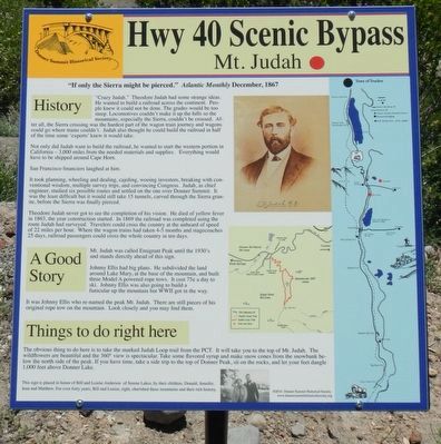
Inscription.
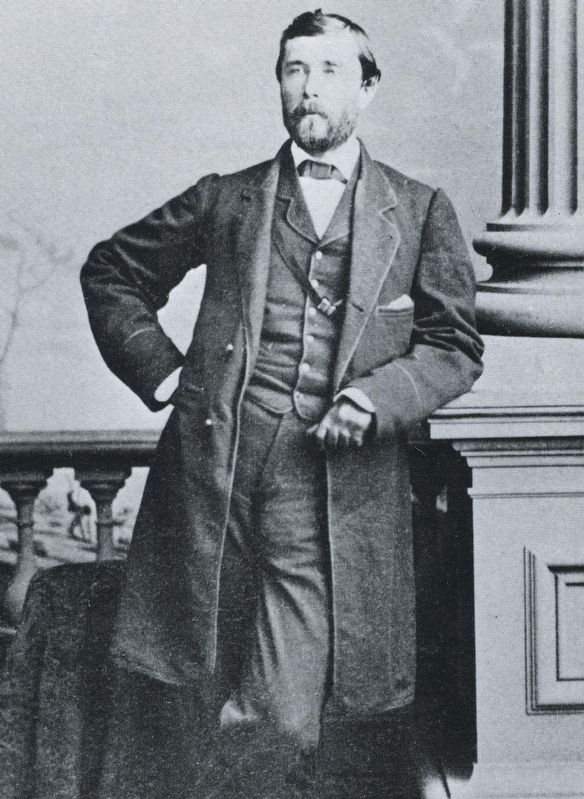
"Crazy Judah." Theodore Judah had some strange ideas. He wanted to build a railroad across the continent. People knew it could not be done. The grades would be too steep. Locomotives couldn't make it up the hills so the mountains, especially the Sierra, couldn't be crossed. After all, the Sierra crossing was the hardest part of the wagon train journey and wagons could go where trains couldn't. Judah also thought he could build the railroad in half the time some 'experts' knew it would take.
Not only did Judah want to build the railroad, he wanted to start the western portion in California - 3,000 miles from the needed materials and supplies. Everything would have to be shipped around Cape Horn.
San Francisco financiers laughed at him.
It took planning, wheeling and dealing, cajoling, wooing investors, breaking with conventional wisdom, multiple survey trips, and convincing Congress. Judah, as chief engineer, studied six possible routes and settled on the one over Donner Summit. It was the least difficult but it would still take 15 tunnels, carved through the Sierra granite, before the Sierra was finally pierced.
Theodore Judah never got to see the completion of his vision. He died of yellow fever in 1863, the year construction started. In 1869 the railroad was completed using the route Judah had surveyed. Travelers could cross the country at the unheard of speed of 22 miles per hour. Where the wagon trains had taken 4-5 months and stage coaches 25 days, railroad passengers could cross the whole country in ten days.
Johnny Ellis had big plans. He subdivided the land around Lake Mary, at the base of the mountain and built three Model A powered rope tows. It cost 75¢ a day to ski. Johnny Ellis was also going to build a funicular up the mountain but WW II got in the way.
It was Johnny Ellis who re-named the peak Mt. Judah. There are still pieces of his original rope tow on the mountain. Look closely and you may find them.
The obvious thing to do here is to take the marked Judah Loop trail from the PCT (Pacific Crest Trail). It will take you to the top of Mt. Judah. The wildflowers are beautiful and the 360º view is spectacular. Take some flavored syrup and make snow cones from the snow bank (editor: not a good idea) below the north side of the peak. It you have time, take a side trip to the top of Donner Peak, sit on the rocks, and let you feet dangle 1,000 feet above Donner Lake.
Erected by Donner Summit Historical Society.
Topics and series. This historical marker is listed in these topic lists: Industry & Commerce • Railroads & Streetcars. In addition, it is included in the Donner Summit Historical Society series list. A significant historical month for this entry is December 1867.
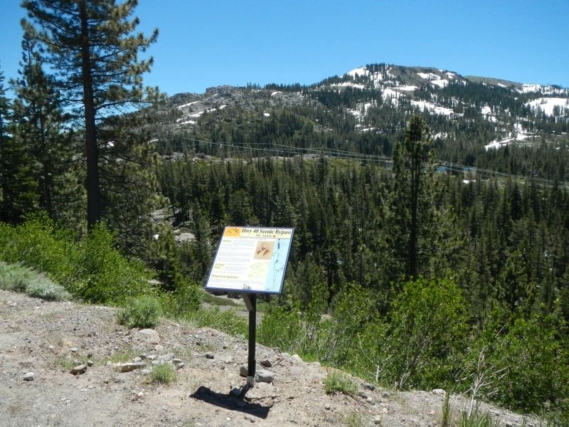
Location. 39° 18.825′ N, 120° 20.376′ W. Marker is near Norden, California, in Nevada County. Marker is at the intersection of Donner Pass Road and Sugar Bowl Road, on the right when traveling east on Donner Pass Road. Touch for map. Marker is at or near this postal address: 58501 Donner Pass Road, Norden CA 95724, United States of America. Touch for directions.
Other nearby markers. At least 8 other markers are within walking distance of this marker. Sugar Bowl (about 300 feet away, measured in a direct line); Charlie Chaplin’s Gold Rush (about 300 feet away); The Magic Carpet (about 300 feet away); The Lodge at Sugar Bowl (about 300 feet away); Truckee Trail - To Summit Valley (approx. 0.4 miles away); Summit Hotel (approx. 0.6 miles away); Tunnel 6 (approx. 0.6 miles away); Clair Tappaan Lodge (approx. 0.6 miles away). Touch for a list and map of all markers in Norden.
Also see . . . Theodore Judah - Wikipedia. As the chief engineer of the Central Pacific Railroad (CPRR), Judah surveyed the route over the Sierra Nevada along which the railroad was to be built during the 1860s. Failing to raise funds for the project in San Francisco, he succeeded in signing up four Sacramento merchants, known as the "Big Four": Leland Stanford, Collis P. Huntington, Mark Hopkins, and Charles Crocker. They managed financing and construction of the CPRR. (Submitted on July 8, 2017, by Barry Swackhamer of Brentwood, California.)
Credits. This page was last revised on July 8, 2017. It was originally submitted on July 8, 2017, by Barry Swackhamer of Brentwood, California. This page has been viewed 328 times since then and 39 times this year. Photos: 1, 2, 3. submitted on July 8, 2017, by Barry Swackhamer of Brentwood, California.


