Hilton Head Island in Beaufort County, South Carolina — The American South (South Atlantic)
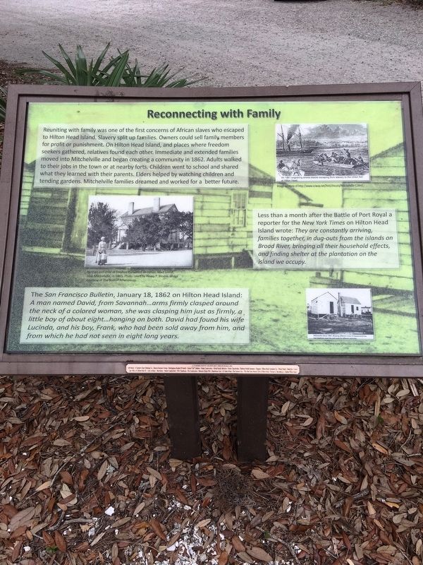
Reconnecting with Family
Less than a month after the Battle of Port Royal a reporter for the New York Times on Hilton Head Island wrote: They are constantly arriving ,families together, in dug-outs from the islands on Broad River bringing all their household effects, and finding shelter at the plantation on the island we occupy.
The San Francisco Bulletin, January 18, 1862 on Hilton Head Island: A man named David, from Savannah...arms firmly clasped around the neck of a colored woman, she was clasping him just as firmly, a little boy of about eight...hanging on both. David had found his wife Lucinda, and his boy, Frank, who had been sold away from him, and from which he had not seen in eight long years.
(captions)
(left) Woman and child at Drayton Plantation on Hilton Head Island, near Mitchelville, c.1865. Photo courtesy of The Boston Athenaeum.
(top right) An 1861 engraving shows blacks escaping from slavery to the Union fort at Hilton Head. Image courtesy of http://www.sciway.net/hist/chicora/mitchelville-1html
(bottom right) Mitchelville about 1865, showing different kinds of houses and how the freedmen used this yard area for different activities. Image courtesy of http://www.sciway.net/hist/chicora/mitchelville-1html
Topics. This historical marker is listed in these topic lists: Abolition & Underground RR • African Americans • Settlements & Settlers • War, US Civil.
Location. 32° 14.225′ N, 80° 41.235′ W. Marker is on Hilton Head Island, South Carolina, in Beaufort County. Marker can be reached from Beach City Road, 0.4 miles Dillon Road, on the right when traveling north. Marker located within walking distance of entrance, and inside Fish Haul Creek Park. Touch for map. Marker is at or near this postal address: 226 Beach City Rd, Hilton Head Island SC 29926, United States of America. Touch for directions.
Other nearby markers. At least 8 other markers are within walking distance of this marker. Religion in Mitchelville/School in Mitchelville (here, next to this marker); Working for Wages/Freedmen’s Bureau (a few steps from this marker); Mitchelville and Abolitionists (a few steps from this marker); Mitchelville Building Sites (a few steps from this marker); The Dawn of Freedom: Mitchelville (within shouting distance of this marker); The Battle of Port Royal / William Fitzhugh and Black Sailors in the Union Navy (within shouting distance of this marker); Black Troops on Hilton Head (within shouting distance of this marker); Cherry Hill School (approx. 0.3 miles away). Touch for a list and map of all markers in Hilton Head Island.
Regarding Reconnecting with Family. Mitchelville Freedom Park is the “brain trust” of a dedicated group of volunteers organized as the Mitchelville Preservation Project. Their mission, as quoted from its website, is to: “offer visitors a multi-dimensional freedom celebration that includes historical, cultural, social, political, economic and spiritual components. Parts of the original Town of Mitchelville will be recreated, and the Freedom Park will feature a series of ever changing learning opportunities in the form of revolving exhibits, lectures, forums, tours and cultural programs”.
Located within Fish
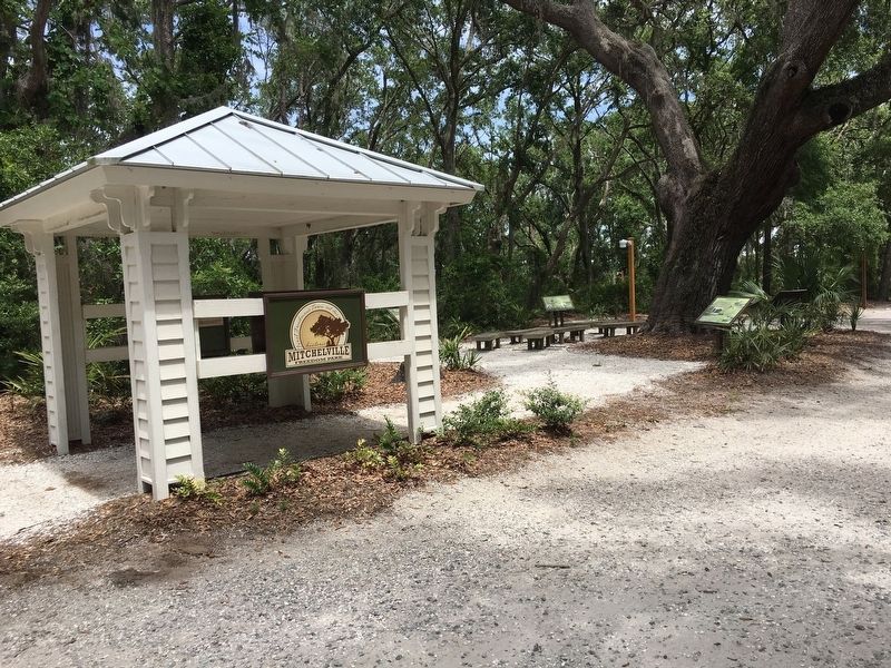
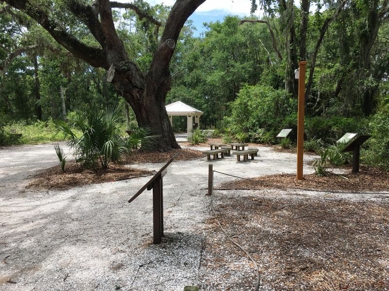
Haul Creek Park, the site currently consist of a free standing pavilion and numerous markers depicting historical events related to Mitchelville.
Related markers. Click here for a list of markers that are related to this marker. They are related to the Mitchelville Freedom Park Preservation Project.
Also see . . . Mitchelville Preservation Project. (Submitted on July 9, 2017.)
Credits. This page was last revised on September 4, 2017. It was originally submitted on July 8, 2017, by Brandon D Cross of Flagler Beach, Florida. This page has been viewed 306 times since then and 16 times this year. Photos: 1, 2, 3. submitted on July 8, 2017, by Brandon D Cross of Flagler Beach, Florida. • Bernard Fisher was the editor who published this page.


