Delhi in Richland Parish, Louisiana — The American South (West South Central)
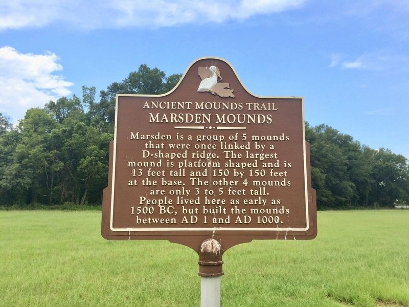
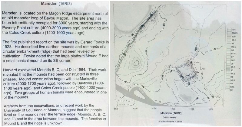
Marsden Mounds
Ancient Mounds Trail
Topics and series. This historical marker is listed in these topic lists: Native Americans • Notable Places. In addition, it is included in the Louisiana Ancient Mounds Trail series list. A significant historical year for this entry is 1500.
Location. 32° 29.182′ N, 91° 29.499′ W. Marker is in Delhi, Louisiana, in Richland Parish. Marker is on Poverty Creek Parkway, 0.4 miles east of State Route 17, on the right when traveling east. Touch for map. Marker is at or near this postal address: 1500 Poverty Point Parkway, Delhi LA 71232, United States of America. Touch for directions.
Other nearby markers. At least 8 other markers are within 12 miles of this marker, measured as the crow flies. Insley Mounds (approx. 6.9 miles away); Tendal Mound (approx. 8.1 miles away); Lower Jackson Mound (approx. 10.3 miles away); Earthworks of Poverty Point (approx. 10˝ miles away); Mound E (approx. 11.2 miles away); Mound A Apex (approx. 11.3 miles away); Mound A (approx. 11.4 miles away); Southwest Ridges (approx. 11.4 miles away).
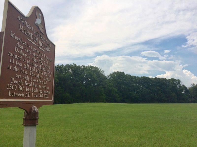
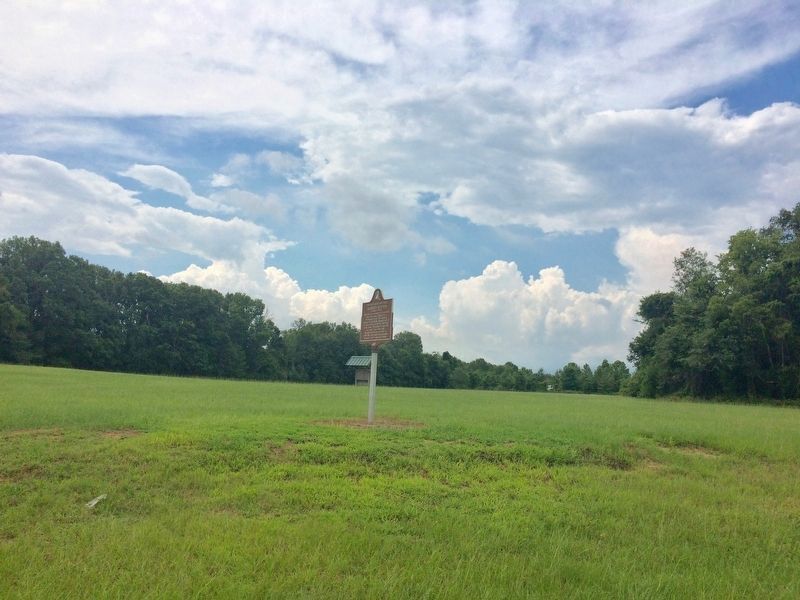
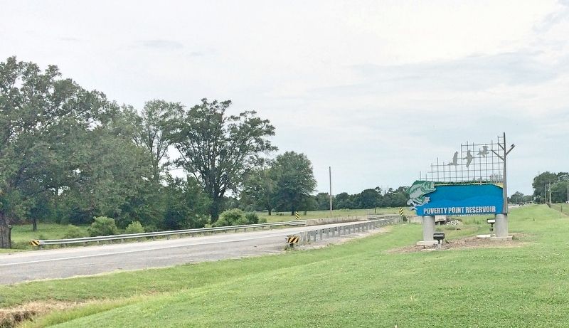
More about this marker. The Marsden marker and mounds are located in the Poverty Point Reservoir State Park, 0.3 miles from the entrance, in a pull off, on the right side of Poverty Point Parkway. Admission is charged to the park. Seniors are admitted free of charge.
Also see . . . Indian Mounds of Northeast Louisiana - Marsden Mounds. (Submitted on July 8, 2017, by Mark Hilton of Montgomery, Alabama.)
Credits. This page was last revised on July 8, 2017. It was originally submitted on July 8, 2017, by Mark Hilton of Montgomery, Alabama. This page has been viewed 482 times since then and 40 times this year. Photos: 1, 2, 3, 4, 5. submitted on July 8, 2017, by Mark Hilton of Montgomery, Alabama.
