Jayton in Kent County, Texas — The American South (West South Central)
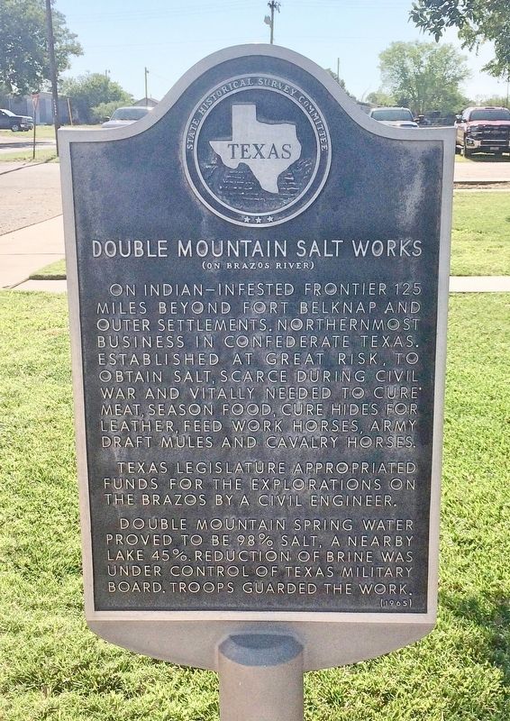
Double Mountain Salt Works
(on Brazos River)
Texas Legislature appropriated funds for the explorations on the Brazos by a civil engineer.
Double Mountain spring water proved to be 98% salt, a nearby lake 45%. Reduction of brine was under control of Texas Military Board. Troops guarded the work.
Erected 1965 by the Texas Historical Survey Committee. (Marker Number 1259.)
Topics. This historical marker is listed in these topic lists: Industry & Commerce • Native Americans • War, US Civil • Waterways & Vessels.
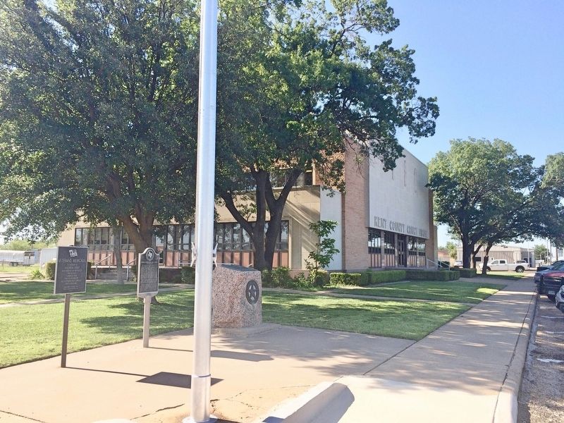
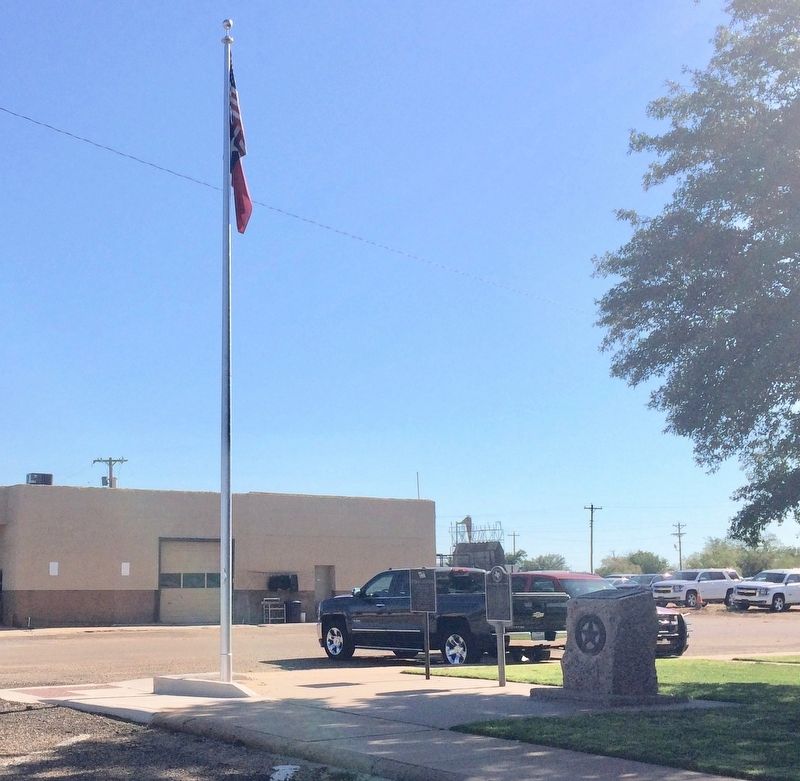
Location. 33° 14.871′ N, 100° 34.411′ W. Marker is in Jayton, Texas, in Kent County. Marker is at the intersection of North Main Street (Texas Route 70) and East 4th Street, on the right when traveling north on North Main Street. Located on the north side of the Kent County Courthouse grounds. Touch for map. Marker is at or near this postal address: 101 North Main Street, Jayton TX 79528, United States of America. Touch for directions.
Other nearby markers. At least 4 other markers are within 3 miles of this marker, measured as the crow flies. Kent County (here, next to this marker); First National Bank Building (within shouting distance of this marker); Quanah Parker Trail (approx. 0.7 miles away); Putoff Canyon (approx. 3.1 miles away).
Additional keywords. geology; Native Americans
Credits. This page was last revised on July 9, 2017. It was originally submitted on July 9, 2017, by Mark Hilton of Montgomery, Alabama. This page has been viewed 419 times since then and 25 times this year. Photos: 1, 2, 3. submitted on July 9, 2017, by Mark Hilton of Montgomery, Alabama.


