Corinne in Box Elder County, Utah — The American Mountains (Southwest)
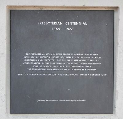
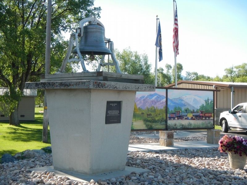
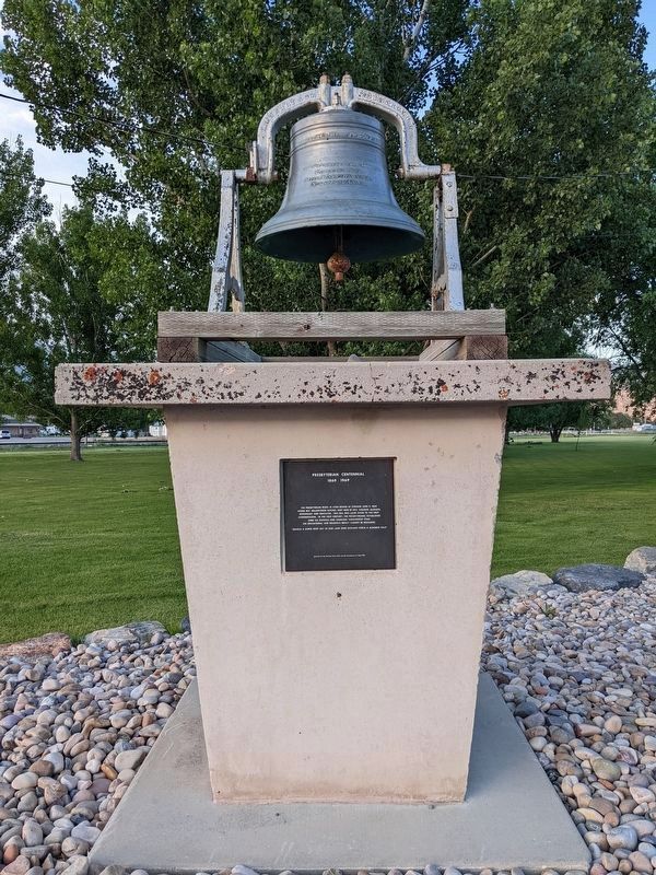
Presbyterian Centennial
1869 - 1969
"Behold a sower went out to sow...and some brought forth a hundred fold"
Erected 1969 by Corinne Lions Club and the Presbytery of Utah.
Topics and series. This historical marker is listed in this topic list: Churches & Religion. In addition, it is included in the Historic Bells series list. A significant historical year for this entry is 1869.
Location. 41° 33.006′ N, 112° 6.652′ W. Marker is in Corinne, Utah, in Box Elder County. Marker is on North 4000 West near South Front Street, on the right when traveling north. Touch for map. Marker is at or near this postal address: 2420 North 4000 West, Corinne UT 84307, United States of America. Touch for directions.
Other nearby markers. At least 8 other markers are within 5 miles of this marker, measured as the crow flies. The First Weather Station in Utah (about 600 feet away, measured in a direct line); Corinne Opera House (about 700 feet away); Corinne - Pioneer Railroad Town (approx. 0.2 miles away); Water Bell (approx. 0.2 miles away); Corinne Methodist Episcopal Church (approx. 0.2 miles away); Call's Fort (approx. 4.7 miles away); The Davis Fort-Built 1851 (approx. 4.9 miles away); Union Pacific Depot-Built 1907 (approx. 5 miles away). Touch for a list and map of all markers in Corinne.
Credits. This page was last revised on February 7, 2024. It was originally submitted on July 9, 2017, by Barry Swackhamer of Brentwood, California. This page has been viewed 263 times since then and 22 times this year. Photos: 1, 2. submitted on July 9, 2017, by Barry Swackhamer of Brentwood, California. 3. submitted on February 6, 2024, by Jeremy Snow of Cedar City, Utah.


