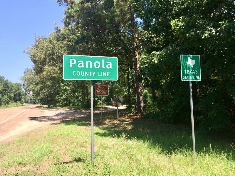
Near Carthage in Panola County, Texas — The American South (West South Central)
International Boundary Marker
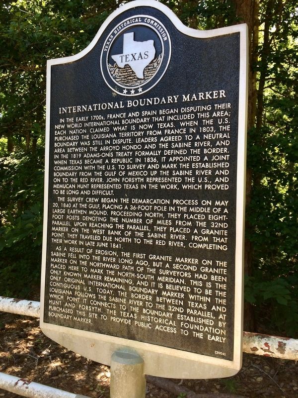
In the early 1700s, France and Spain began disputing their New World international boundary that included this area; each nation claimed what is now Texas. When the U.S. purchased the Louisiana Territory from France in 1803, the boundary was still in dispute. Leaders agreed to a neutral area between the Arroyo Hondo and the Sabine River, and the 1819 Adams-Onís Treaty formally defined the border. When Texas became a republic in 1836, it appointed a joint commission with the U.S. to survey and mark the established boundary from the Gulf of Mexico up the Sabine River and on to the Red River. John Forsyth represented the U.S., and Memucan Hunt represented Texas in the work, which proved to be long and difficult.
The survey crew began the demarcation process on May 20, 1840 at the Gulf, placing a 36-foot pole in the middle of a large earthen mound. Proceeding north, they placed eight-foot posts denoting the number of miles from the 32nd parallel. Upon reaching the parallel, they placed a granite marker on the west bank of the Sabine River. From that point, they traveled due north to the Red River, completing their work in late June 1841.
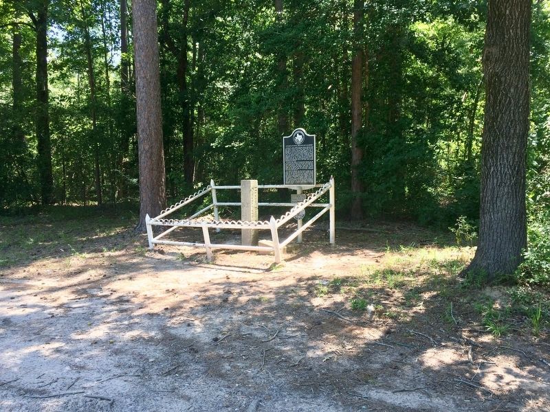
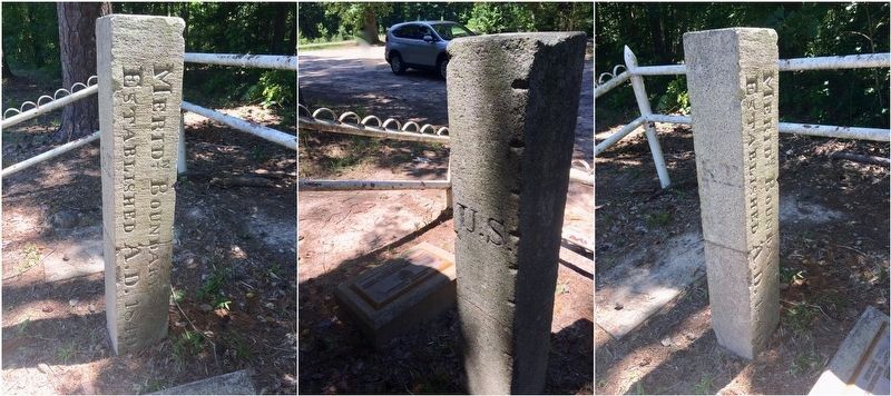
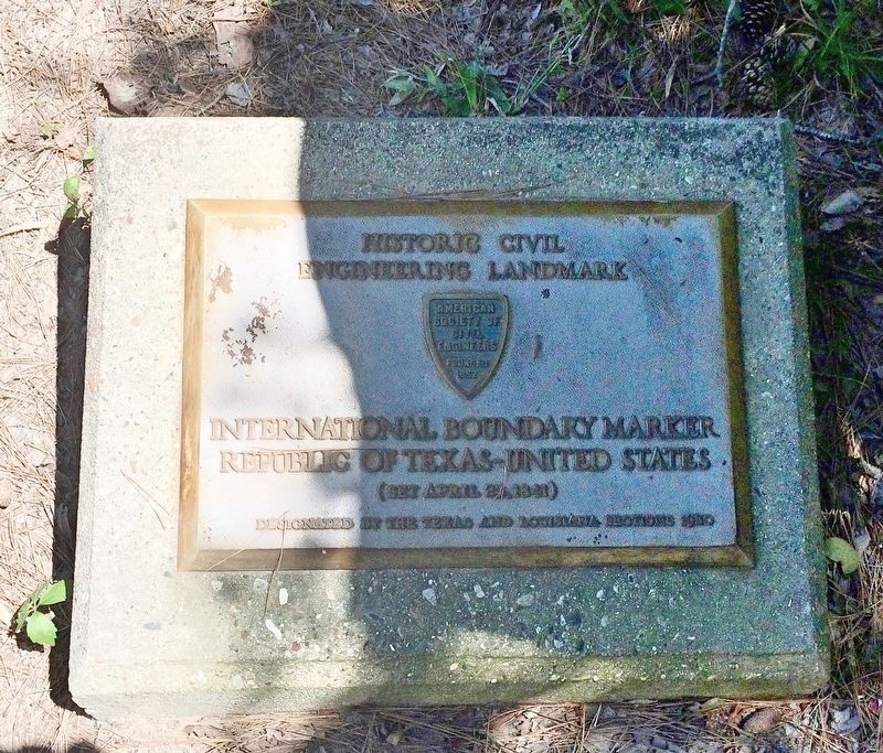
As a result of erosion, the first granite marker on the Sabine fell into the river long ago, but a second granite marker on the northward path of the surveyors had been placed here to mark the north-south meridian. This is the only known marker remaining, and it is believed to be the only original international boundary marker within the contiguous U.S. Today, the border between Texas and Louisiana follows the Sabine River to the 32nd parallel, at which point it connects to the boundary established by Hunt and Forsyth. The Texas Historical Foundation purchased this site to provide public access to the early boundary marker.
Erected 2004 by Texas Historical Commission. (Marker Number 13056.)
Topics. This historical marker is listed in these topic lists: Exploration • Notable Places • Waterways & Vessels. A significant historical date for this entry is May 20, 1840.
Location. 32° 2.039′ N, 94° 2.567′ W. Marker is near Carthage, Texas, in Panola County. Marker can be reached from Farm to Market Road 31, 0.4 miles south of County Road 4557, on the right when traveling north. Located in a very rural area of the county is some 10 miles from Deadwood and 21 miles from Carthage. Touch for map. Marker is in this post office area: Carthage TX 75633, United States of America. Touch for directions.
Other nearby markers. At least 6 other markers are within 13 miles of this marker, measured as the crow flies. A different marker also named International Boundary Marker (here, next to this marker); Adams Cemetery (approx. 3½ miles away); Brookland Cemetery (approx. 4.7 miles away); B.F. Morris and the Town of Joaquin (approx. 4.7 miles away); Deadwood Cemetery (approx. 9.7 miles away); Confederate Cemetery (approx. 13.1 miles away in Louisiana).
Also see . . . Texas Escapes on the Last Remaining International Boundary for The Republic of Texas. (Submitted on July 9, 2017, by Mark Hilton of Montgomery, Alabama.)
Photographed By Mark Hilton, June 28, 2017
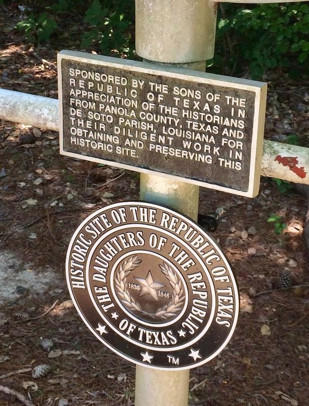
5. Lower plaques on this marker.
Rectangular plaque: Sponsored by the Sons of the Republic of Texas in appreciation of the historians from Panola County, Texas and De Soto Parish, Louisiana for their diligent work in obtaining and preserving this historic site.
Round plaque: Historic Site of the Republic of Texas, The Daughters of the Republic of Texas
Round plaque: Historic Site of the Republic of Texas, The Daughters of the Republic of Texas
Credits. This page was last revised on November 24, 2020. It was originally submitted on July 9, 2017, by Mark Hilton of Montgomery, Alabama. This page has been viewed 1,172 times since then and 139 times this year. Photos: 1, 2, 3, 4, 5, 6. submitted on July 9, 2017, by Mark Hilton of Montgomery, Alabama.
